Did I want to come on a bushwalk to Twin Spires, asked Clive.
“When?” I replied.
“First weekend of September,” he replied.
I was immediately suspicious.
I like to think I’ve developed somewhat of an aversion to September Tasmanian bushwalking.
It’s often … let’s just say… damp.
“Sounds cold,” I said. “What’s the weather going to be like?”
“Looks a bit rough,” said Clive.
But despite the severe psychological scarring1 from the aforementioned bad weather walking, I was interested.
Especially as the plan entailed going with a few other friends. Four people! On a bushwalk!
This is almost unheard of for me. I’m used to walking by myself as I slog it up and down various mountains.
But as the week progressed, the wizards at the Bureau of Meteorology came up with progressively better news: the outlook was improving fast.
It went from rainfall all but guaranteed to very little chance at all. Perfect!
Thus, we set off and headed towards Lake Rowallan - the place that always takes ages to get to.
After sleeping near the lake on Friday night, all four of us set off early on Saturday morning.
Clive managed to stay close and didn’t get lost at all, as we picked our way up the Moses Creek track.
The plan was to visit Twin Spires, camp high and pick our way across the plateau before dropping off and meeting up with the Mersey River far below before exiting via Lees Paddocks.
That was the plan, but first we had to reach the mountain.
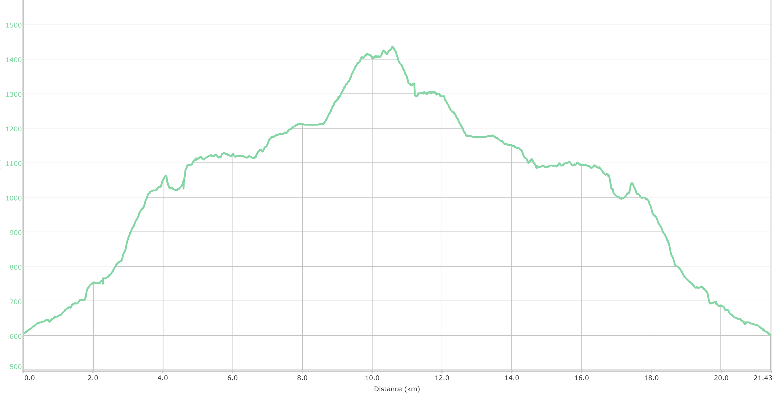
It’s a gentle but constant climb over the next several kilometers as you go from about 600 meters to over 1100.
But there’s always something interesting to look at, whether it be trees, bushes, rocks or lakes.
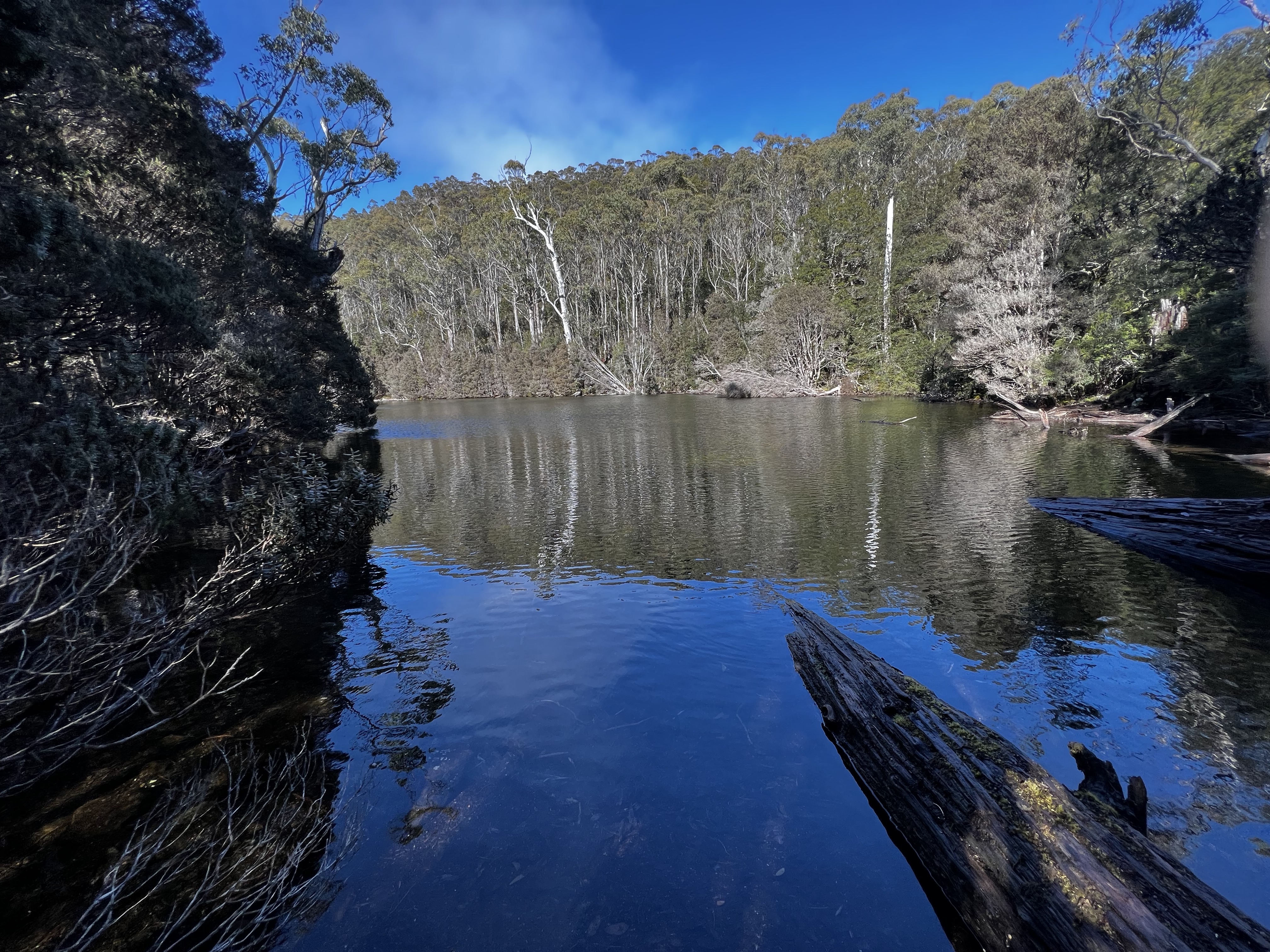
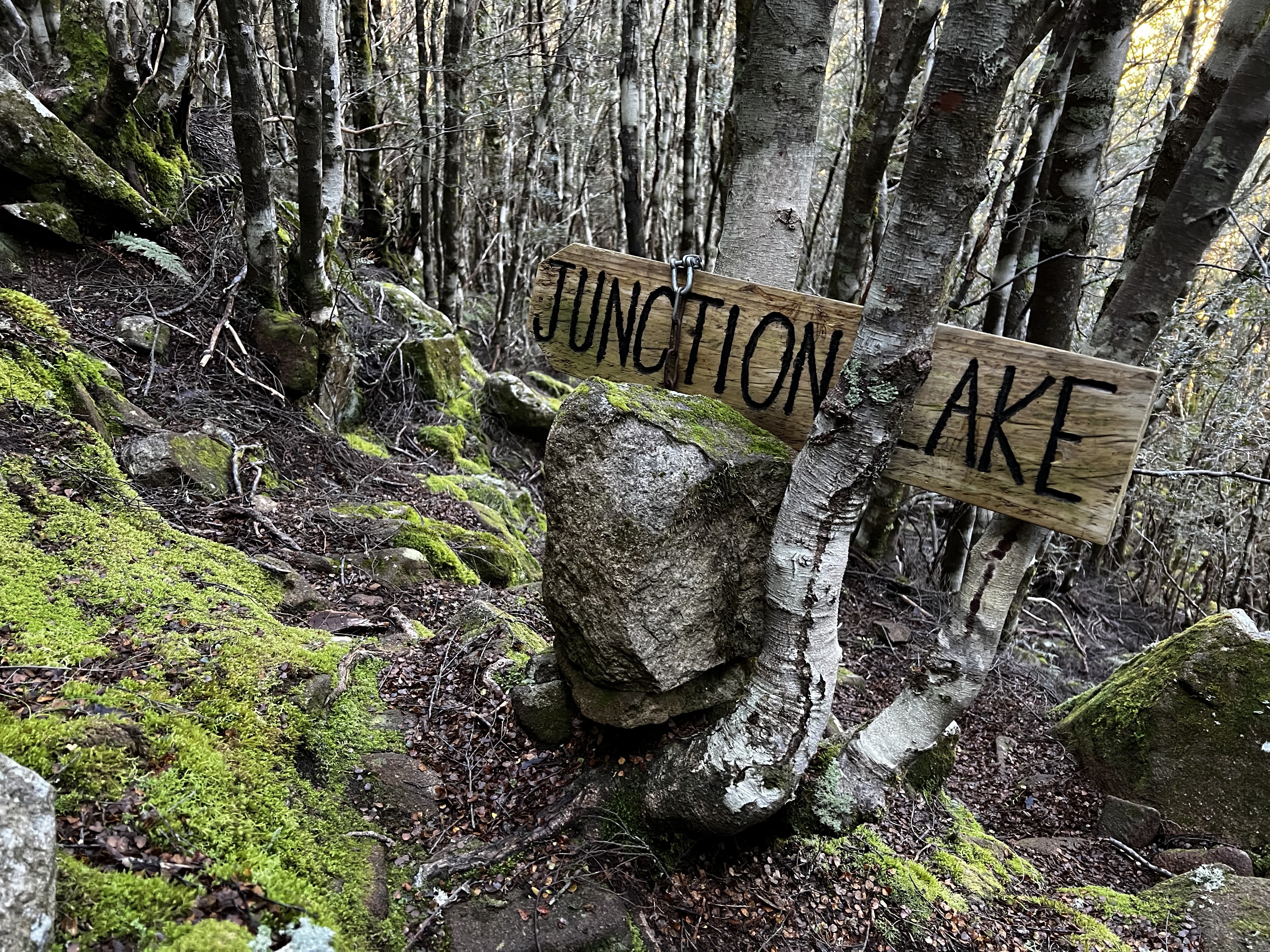
Eventually, you get to a turn off of sorts. The track continues on to Junction Lake and the Never Never, but if you want to get to the plateau or Grail Falls here you must turn.
I can’t actually remember it all that well, but several years ago Clive and I passed along this track as we finished our circumnavigation of Cathedral Mountain.
We had considered walking up to Cathedral Mountain too, but either ran out of time or the will to do it.
That had been in May. “Freaking cold” is how I described it. I think that was underselling it. The night at Lees Paddocks remains the coldest night of my life.
But unlike last time, we took the track down to Grail Falls and they were pretty spectacular.
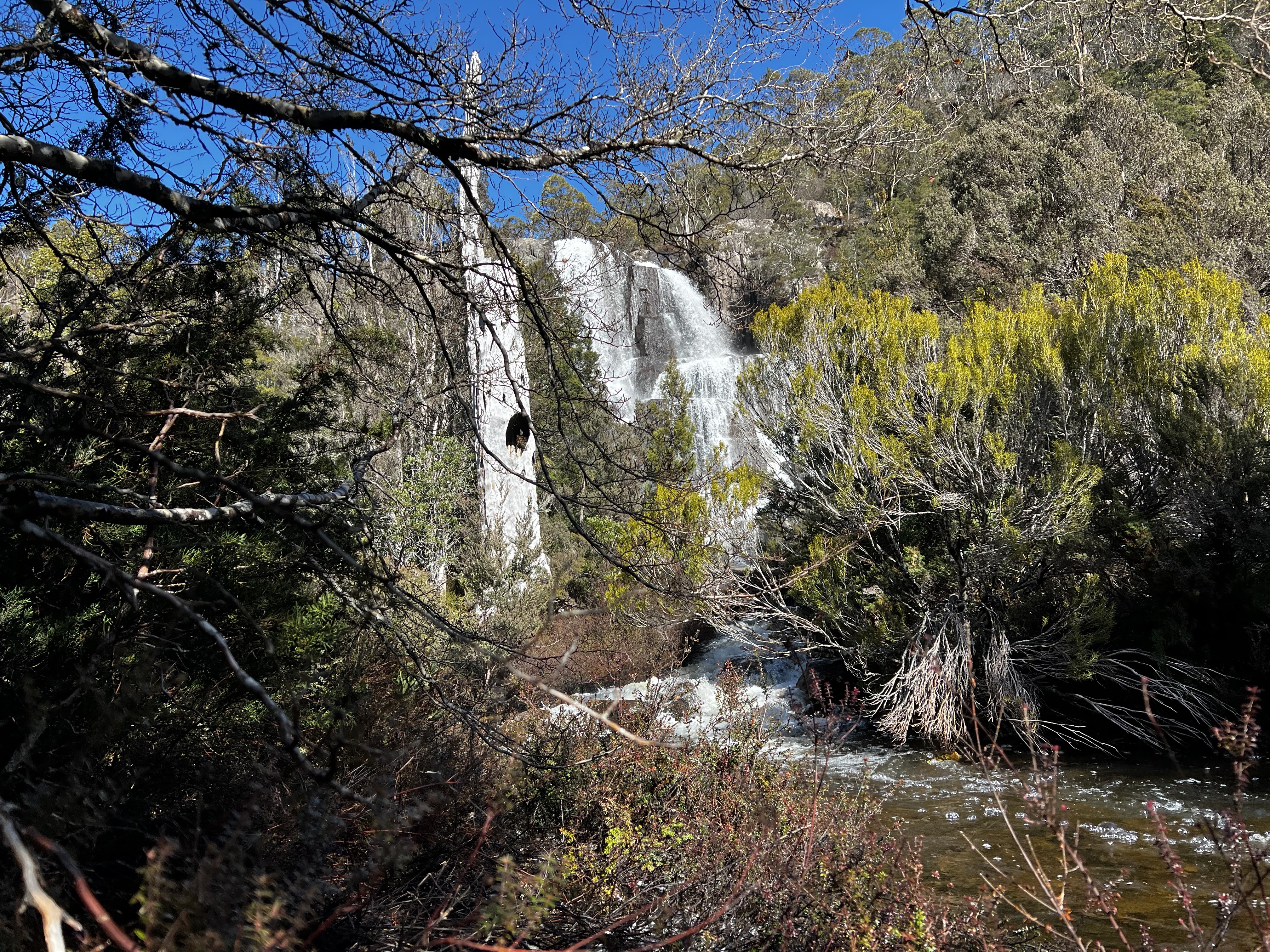
Sometimes I think I should put a little bit more effort into my photos. Maybe try to avoid a branch or two.
But that’s one of the many benefits of having other people on the walk! They take better photos.
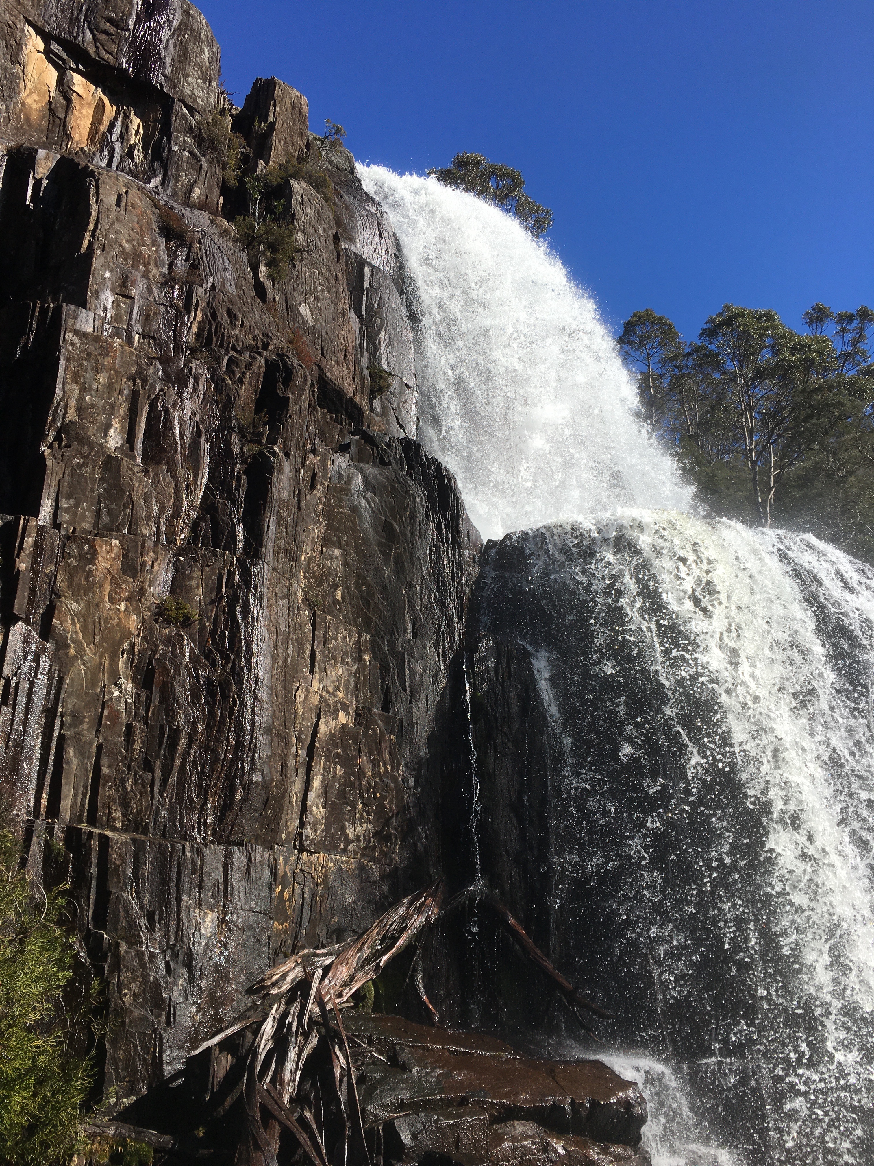
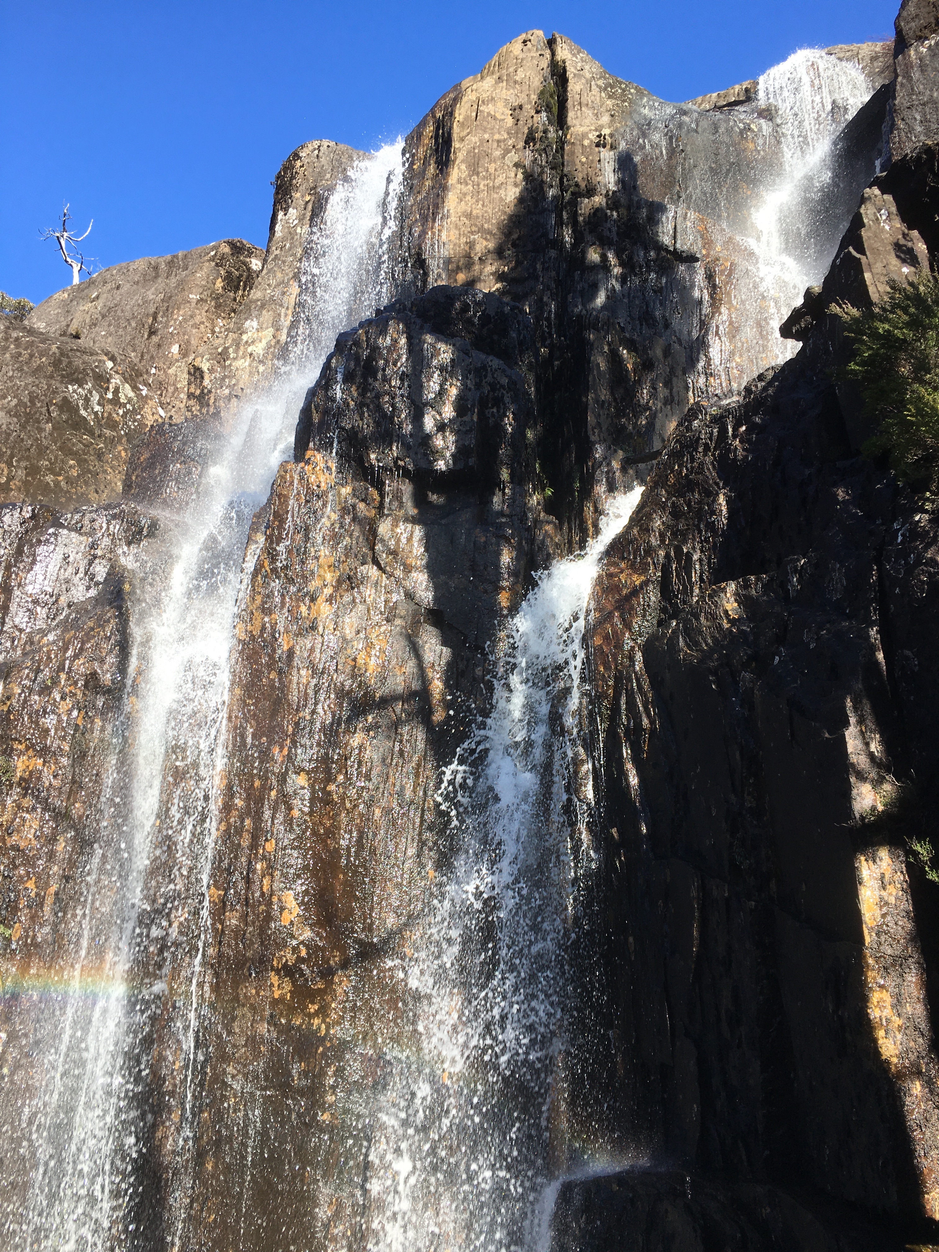
After climbing up Grail Falls (more precisely, around the back of Grail Falls) we paused for lunch and a look at the views.
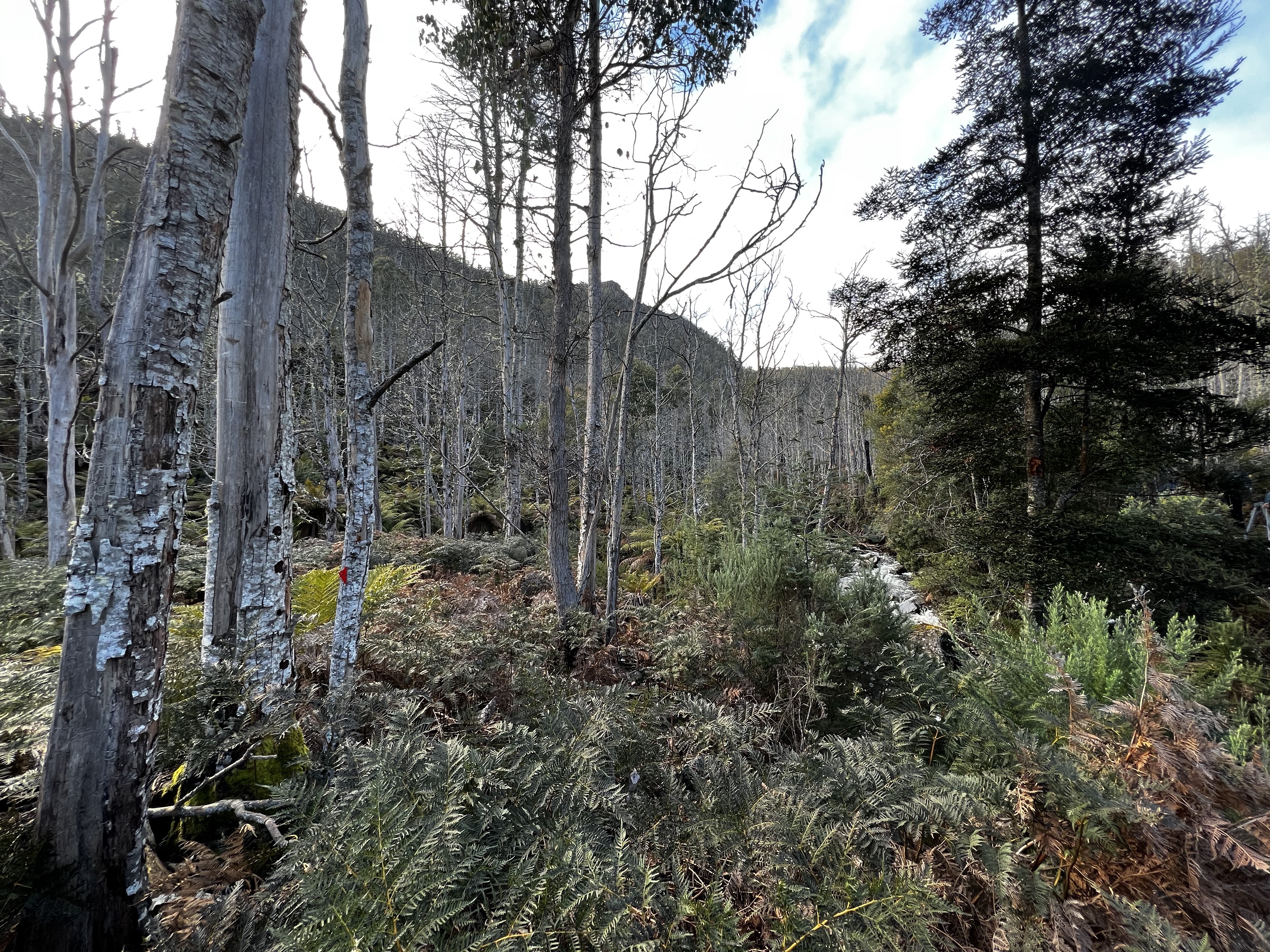
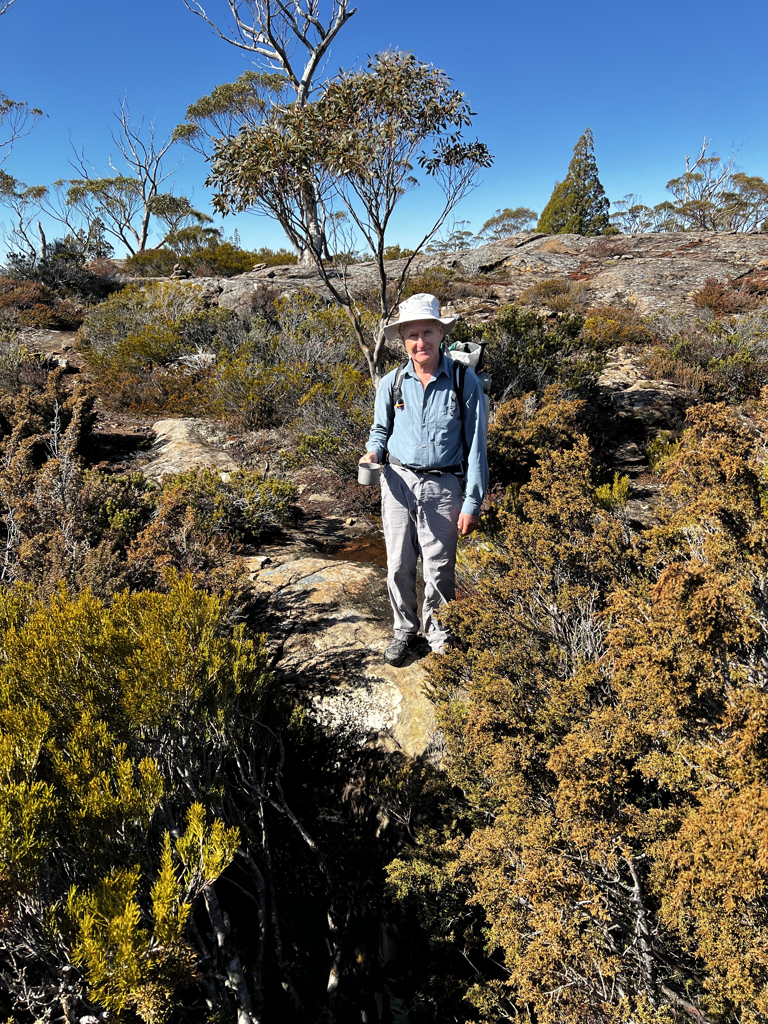
After lunch, the track became a little more overgrown but was still easy to navigate and walk along.
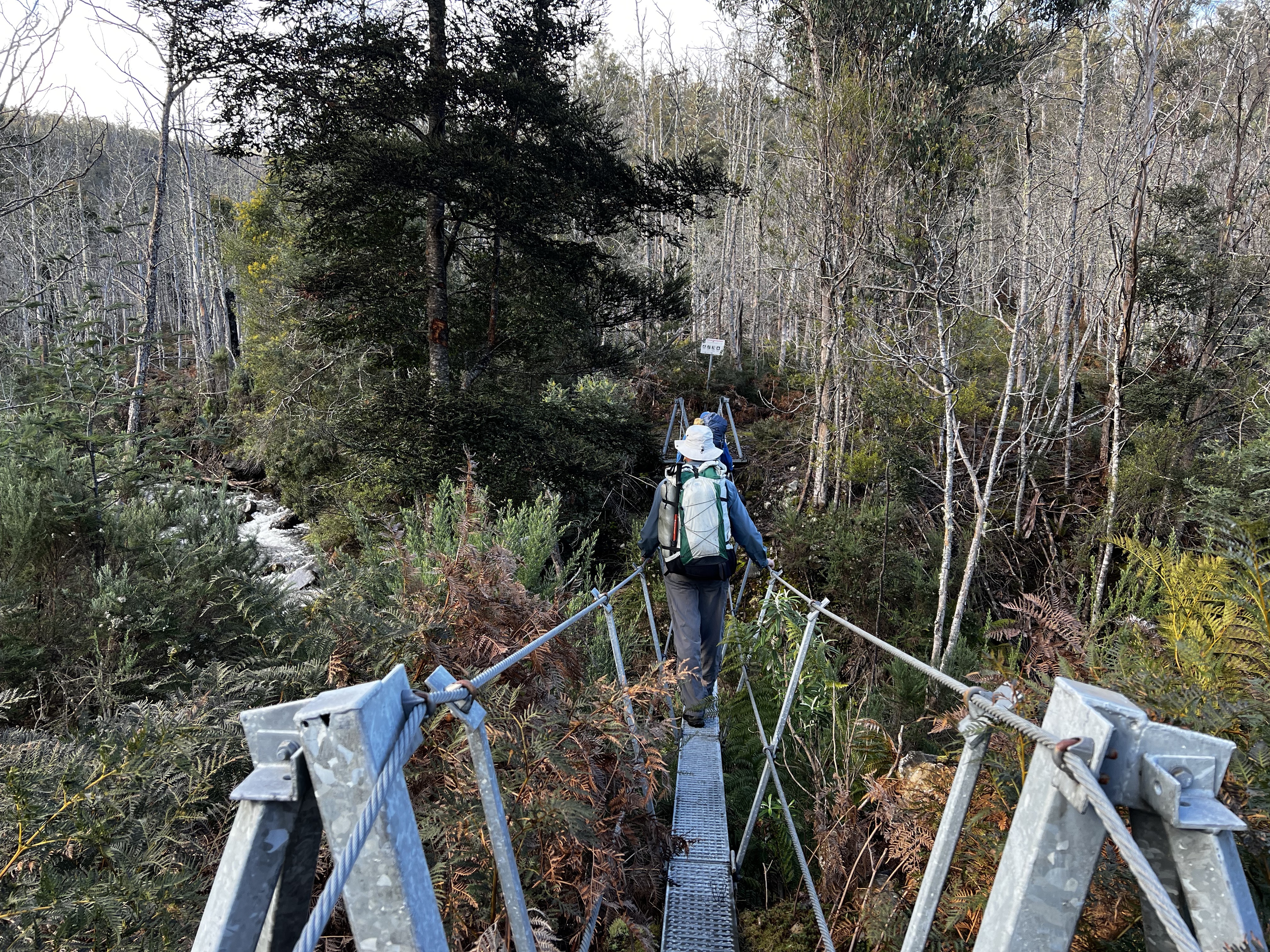
We slowly gained a bit of elevation, picking our way along the creek before eventually coming to the spot you have to cross.
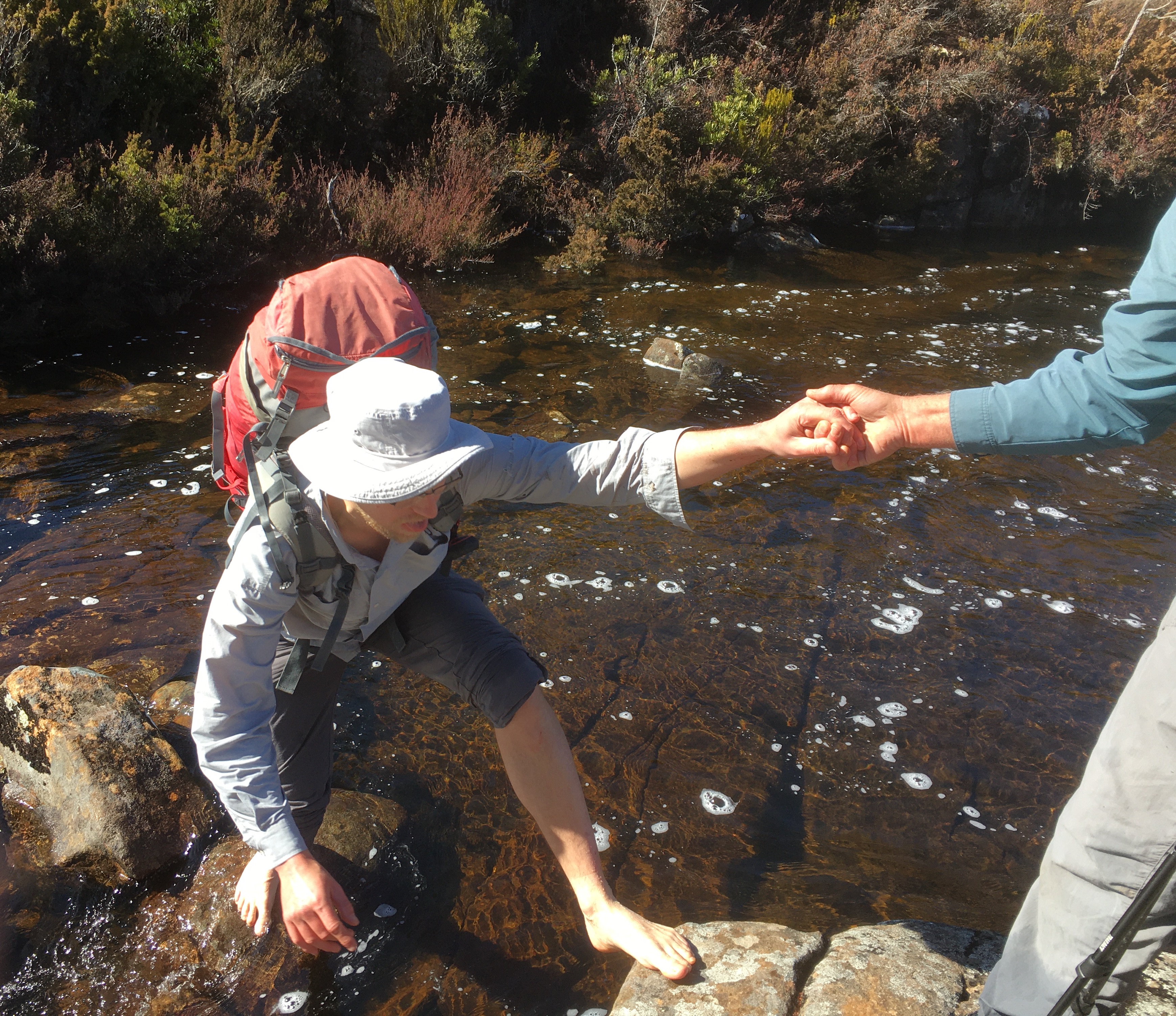
I’m not sure what this would be like crossing in wetter weather, but it was pretty easy to pass.
I was the only one that removed my shoes, probably losing a few minutes but saving wet feet as my boots have developed holes in the side.
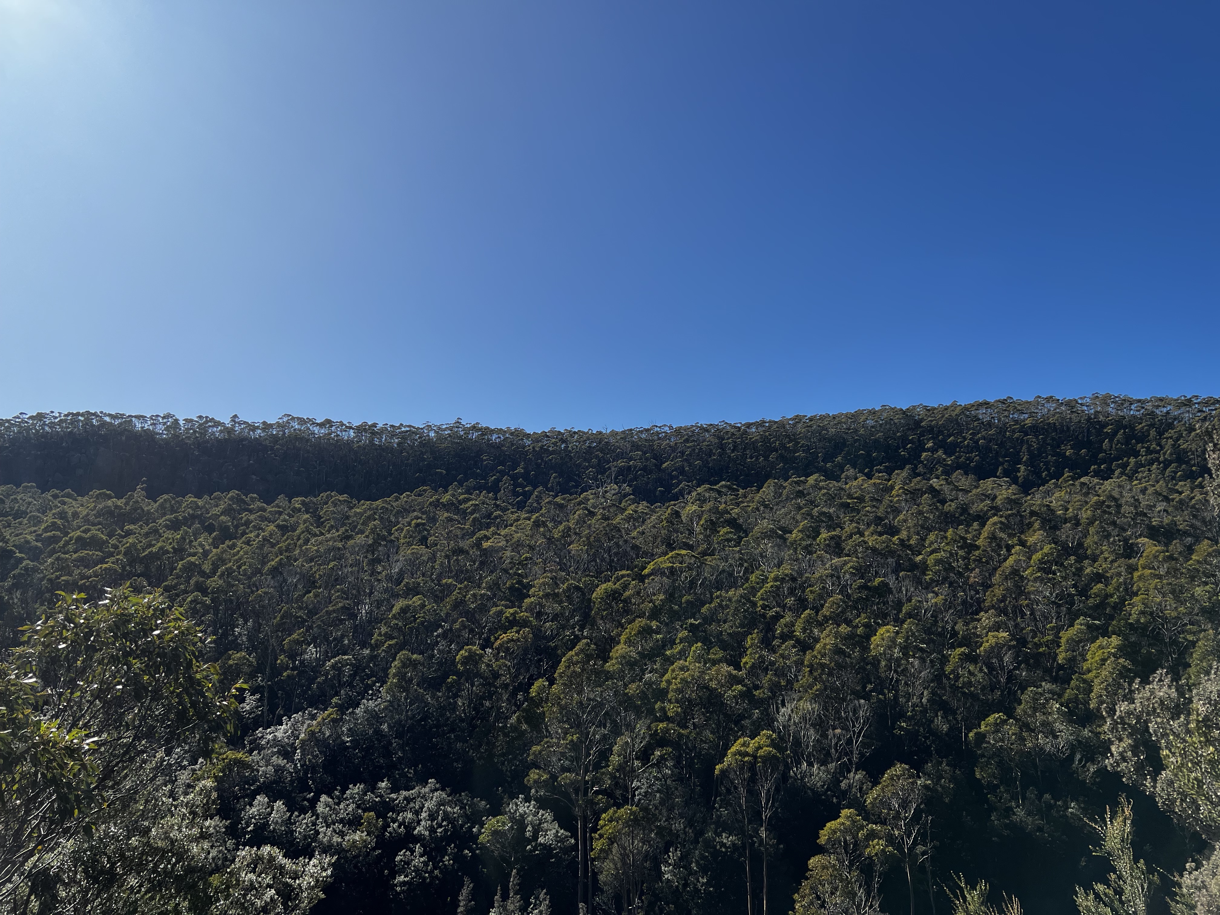
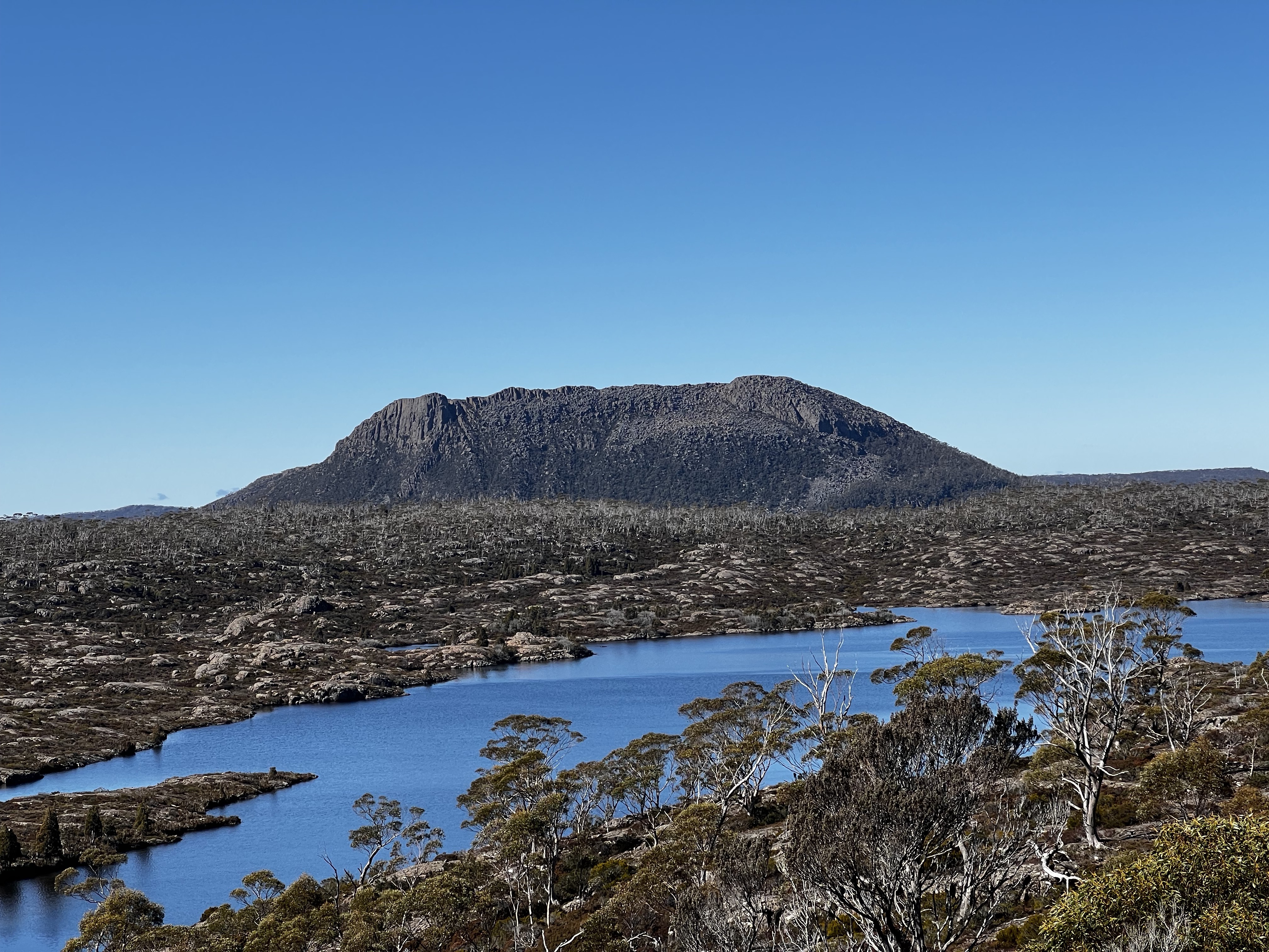
As we got higher and higher, more and more mountains came into view.
The first was the mighty Ragoona, which stays with you most of the way.
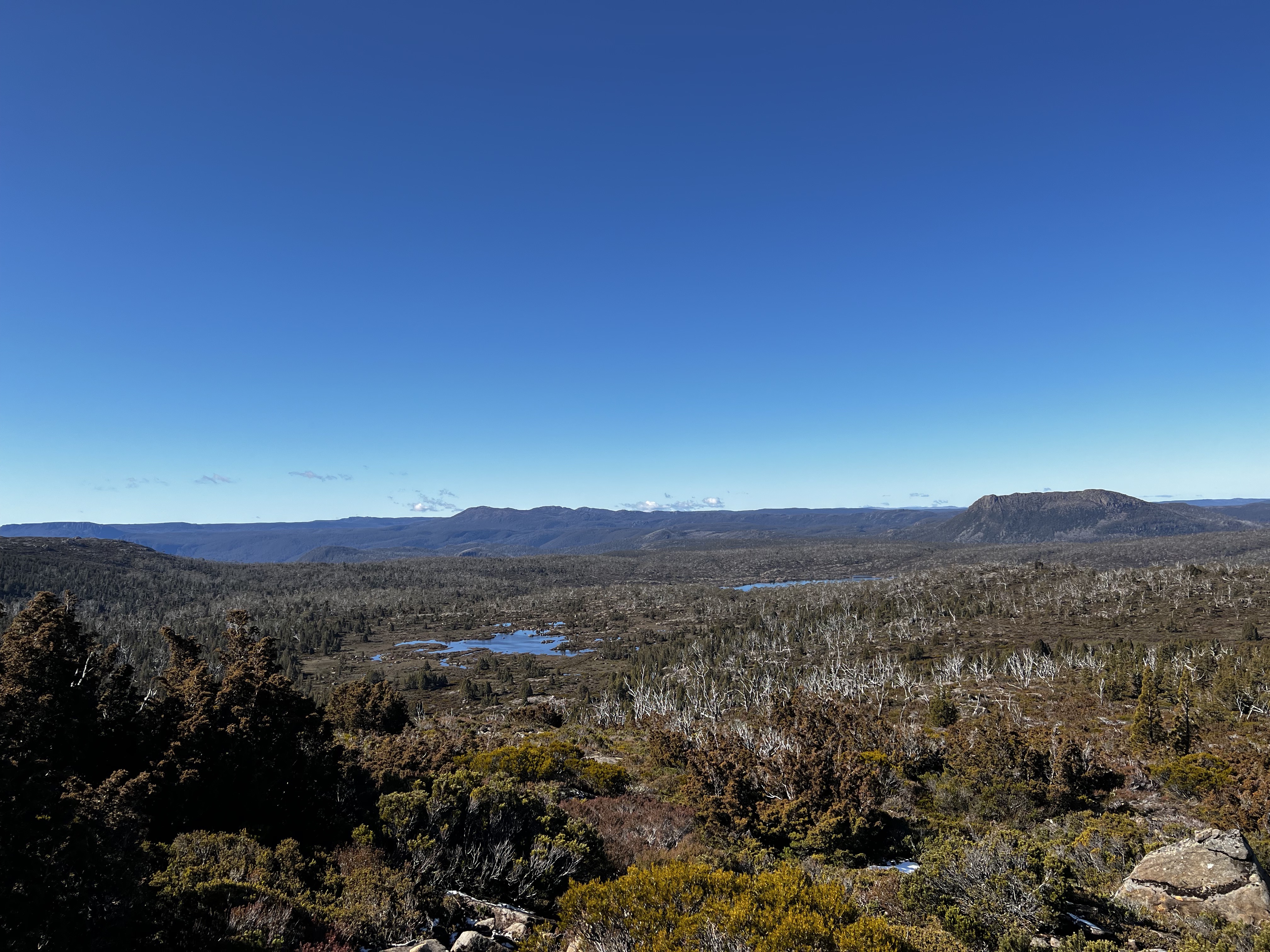
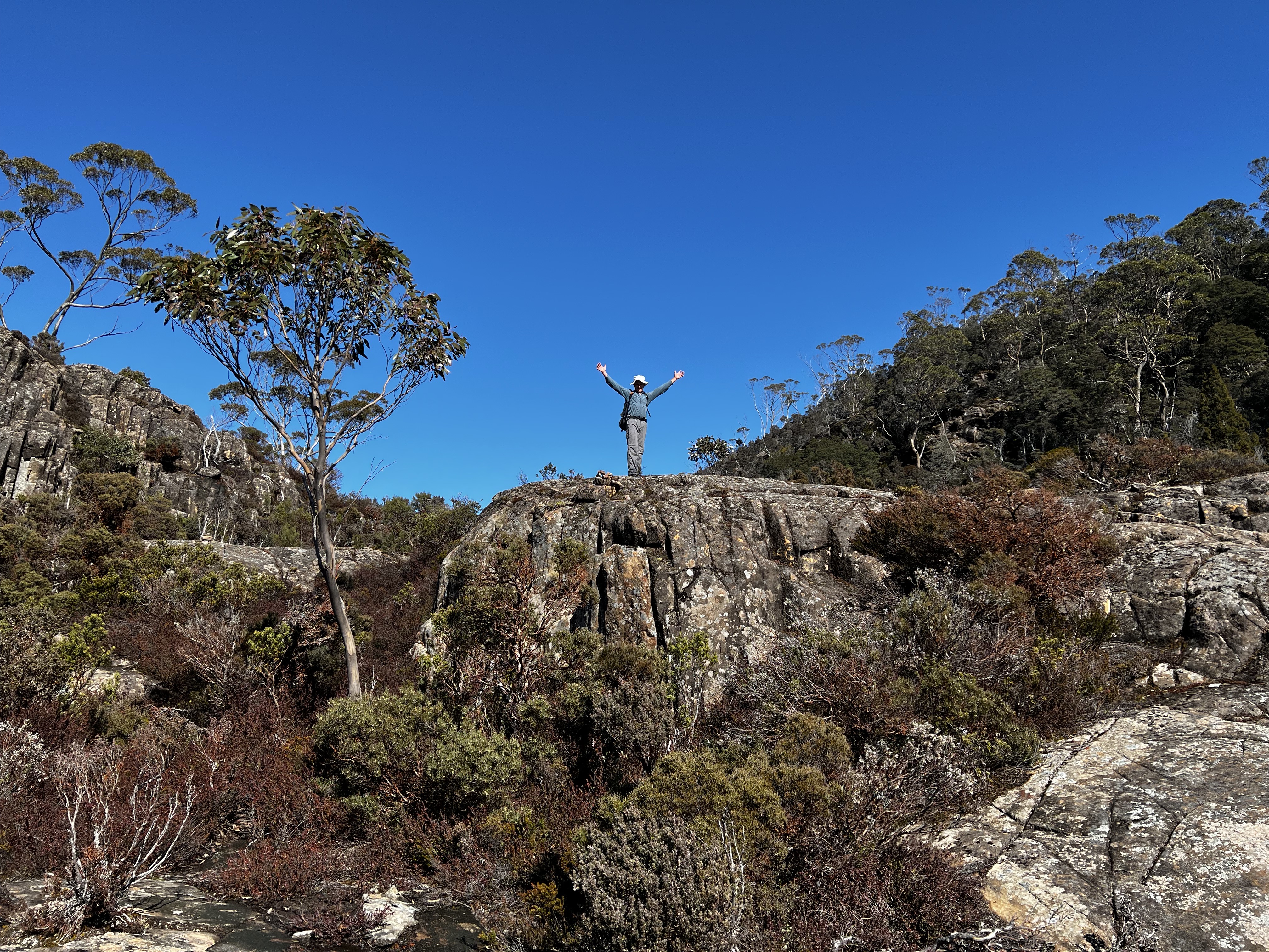
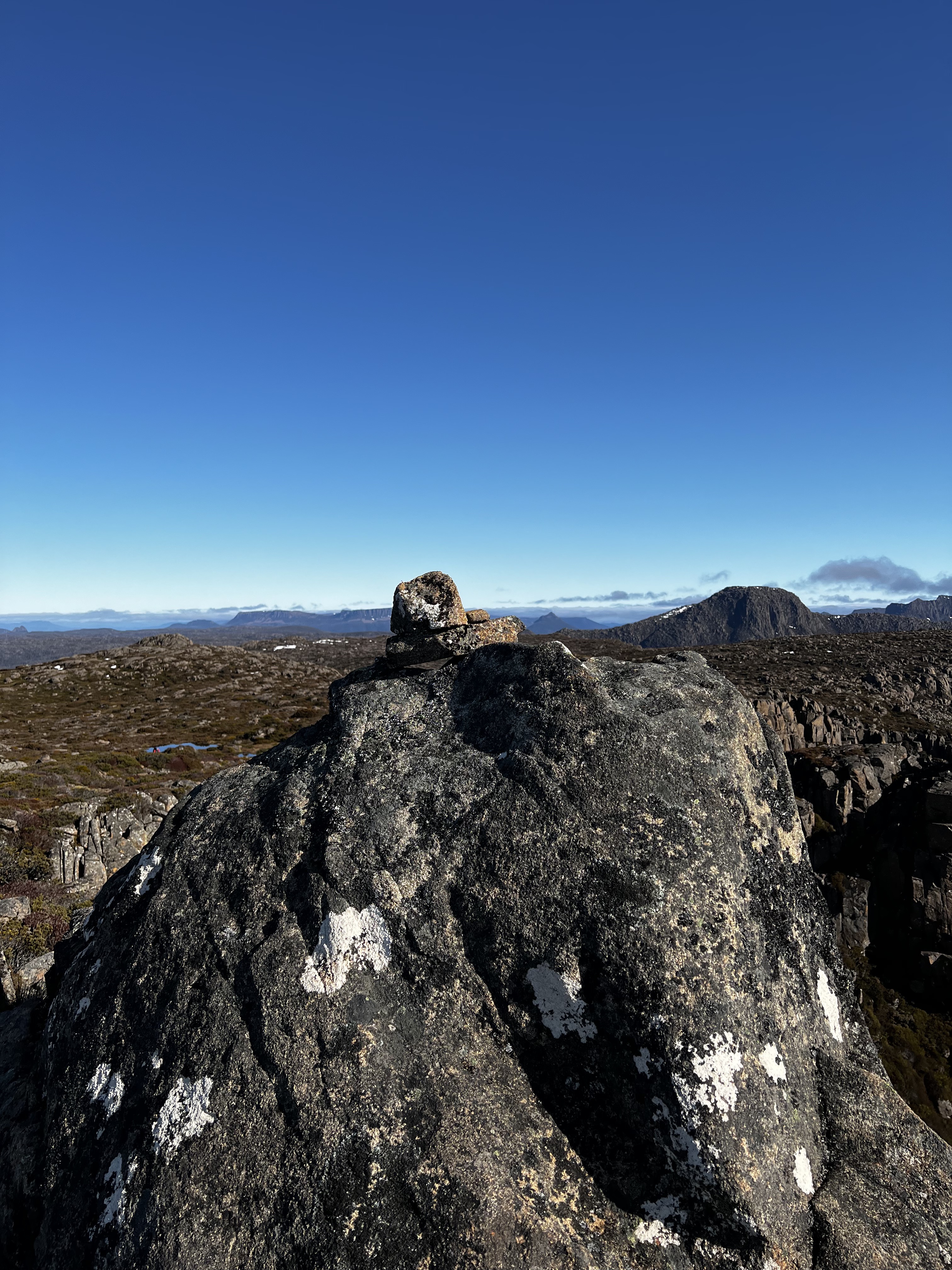
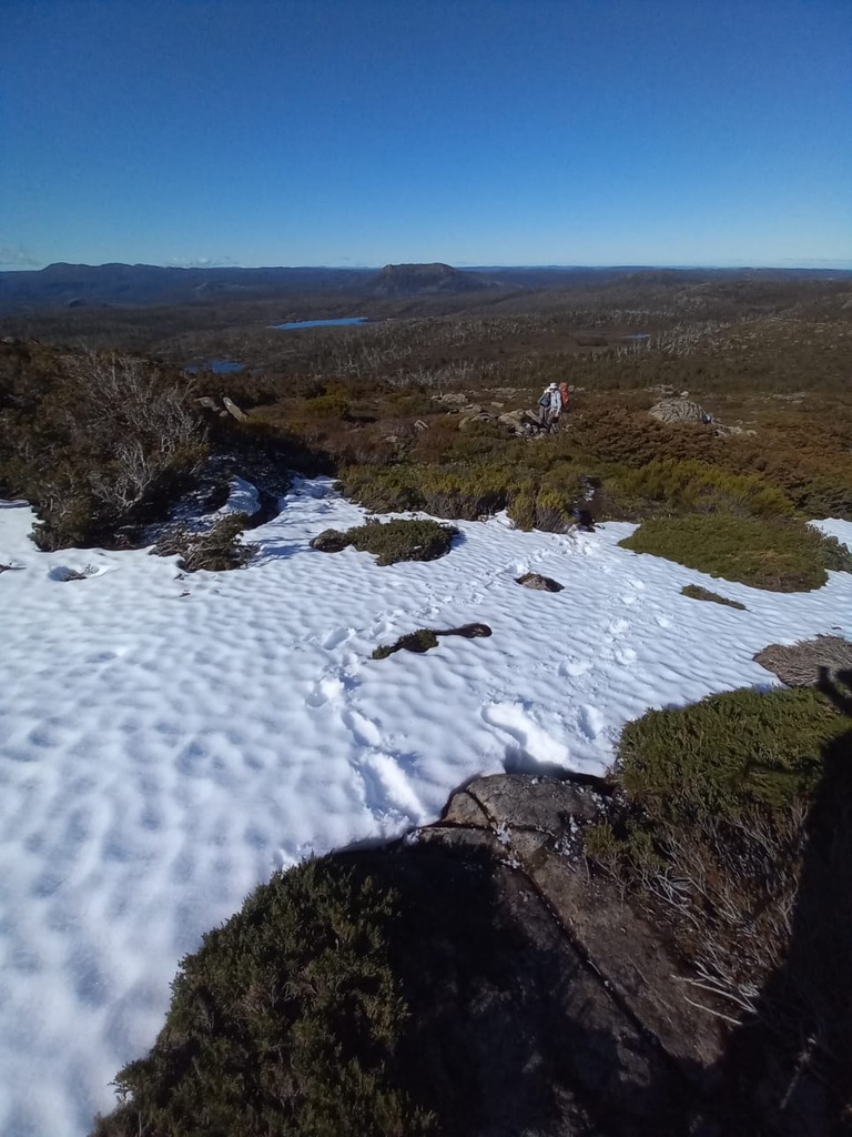
The walk across the top of the plateau is pretty easy going, as you follow cairns and wander between small lakes.
Occasionally the track gets a bit more difficult to follow, but if you stick with the vibe it’s not hard.
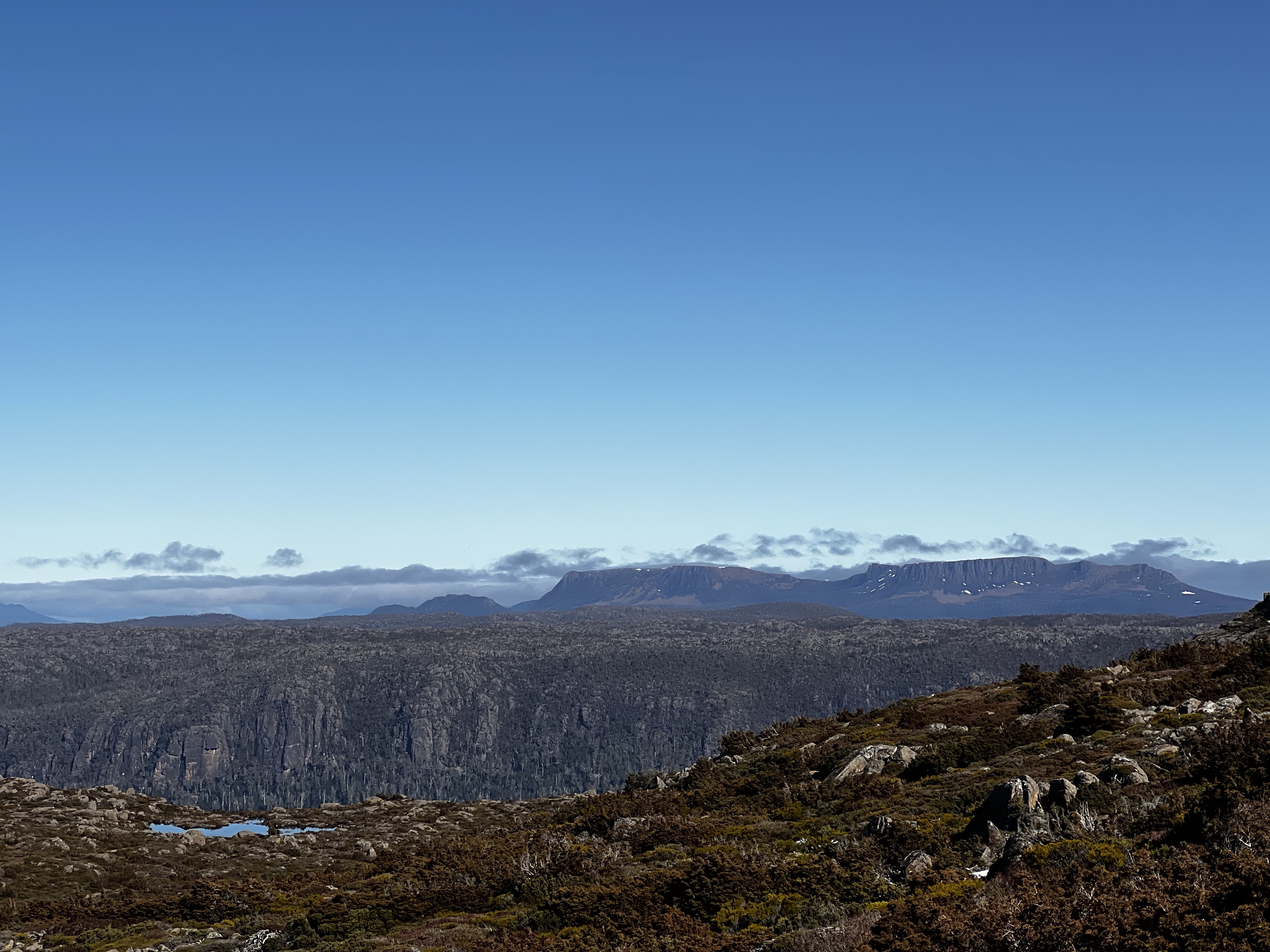
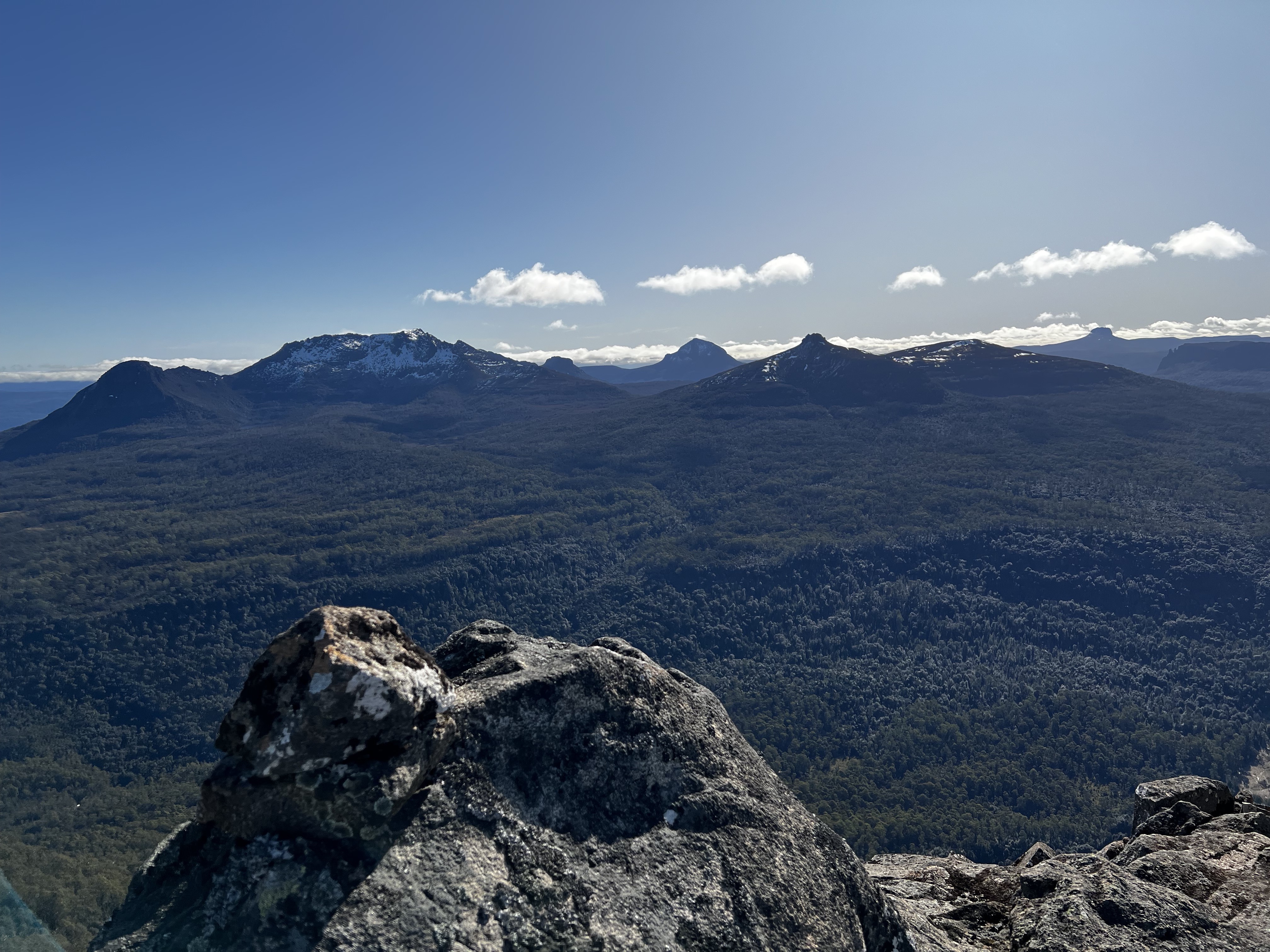
And finally as we hit the edge, the mountains that surround the Overland Track came into view.
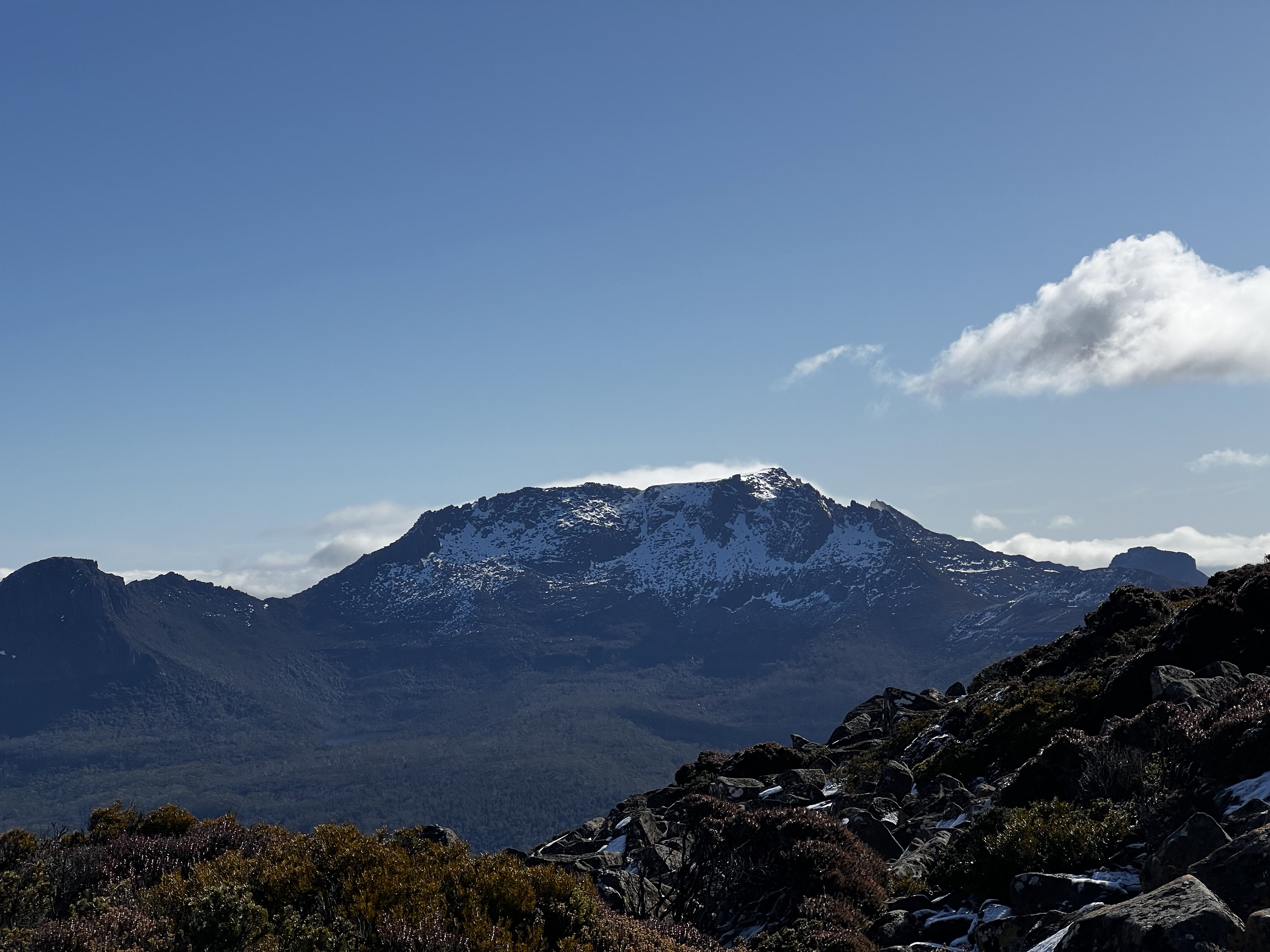
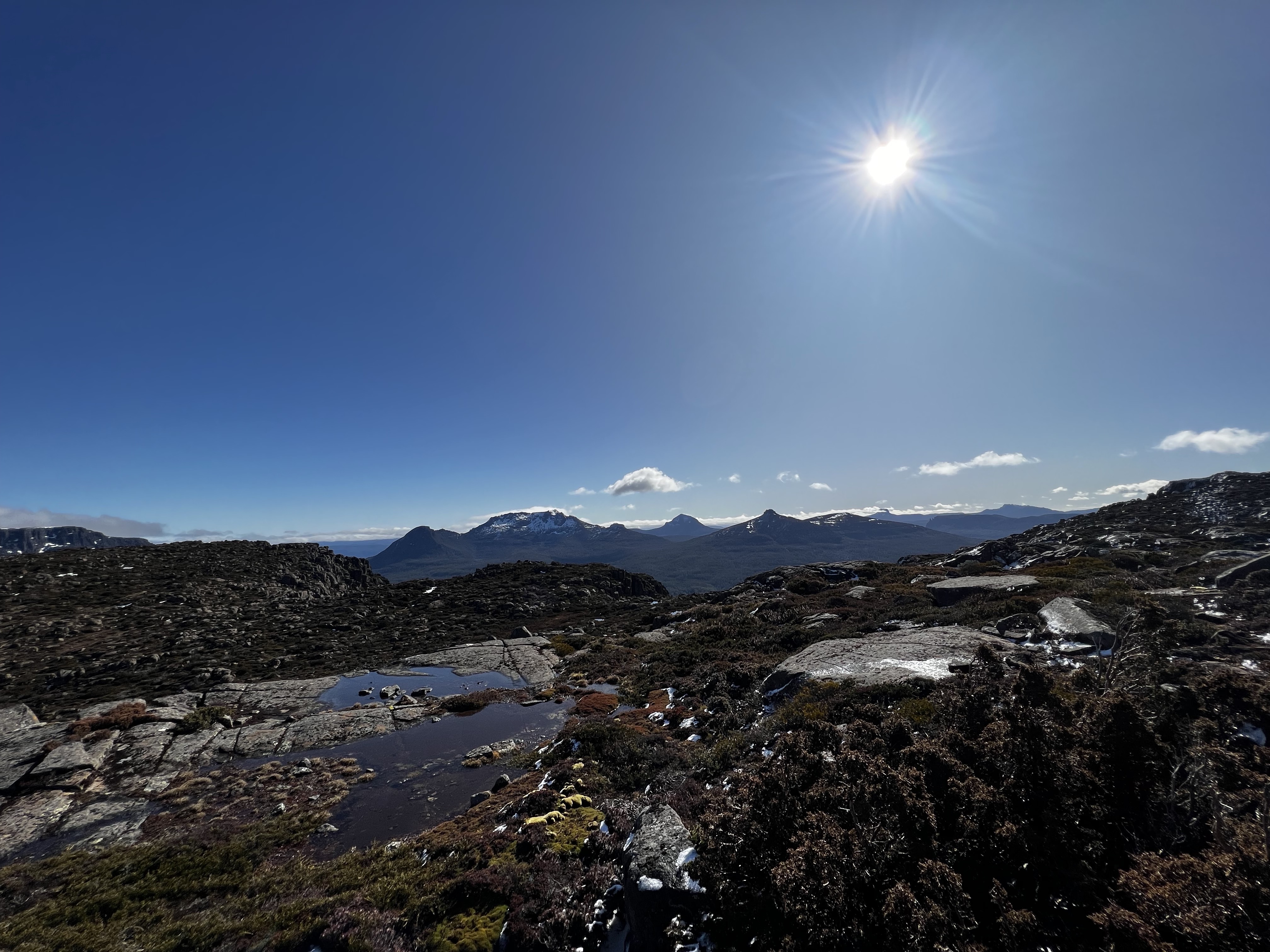
Eventually, after a bit of scrambling over slippery icy rocks, we got to the top.
And what a view!
After reaching the peak, we didn’t turn back - we kept going and headed down the other side.
As you might remember, the plan was to head down to the Mersy - somewhere after Bishop Peak which was more than 2.5km to the north east.
But time was getting on, so we pulled up near a small lake just to the east of Twin Spires for the night.
And what a night it was: clear sky, lovely sunset and good chats with other people for a change!
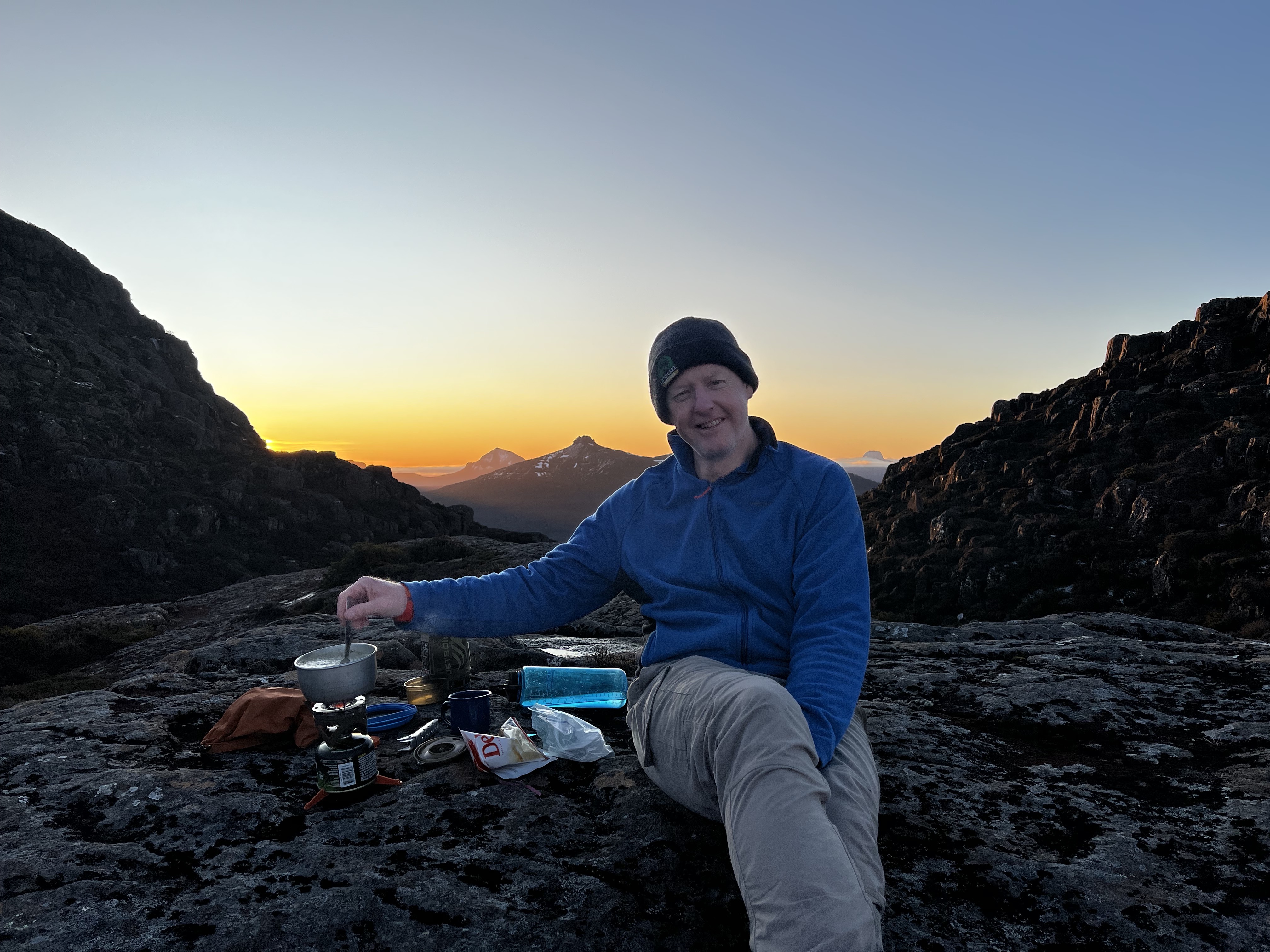

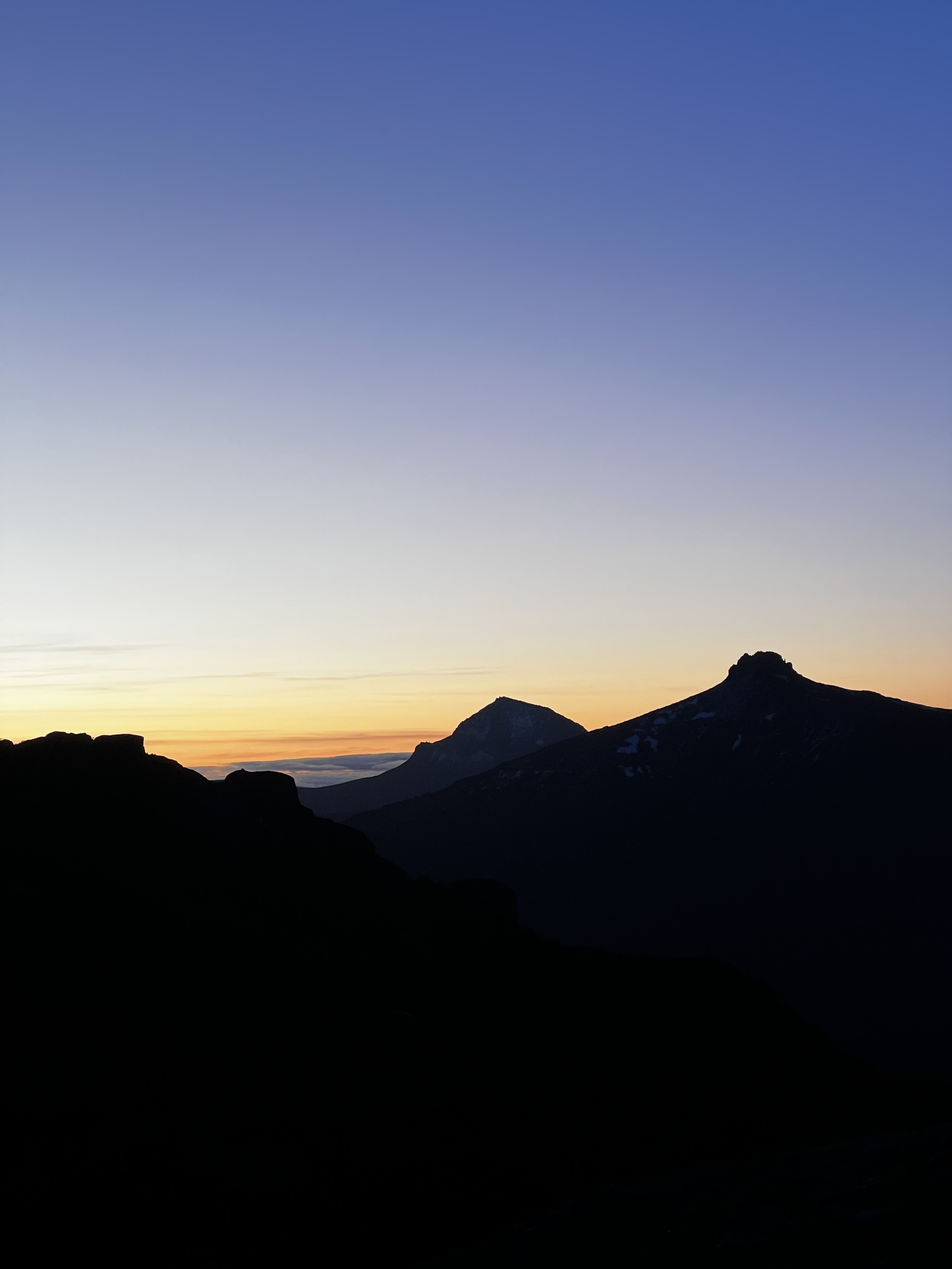
It was early to bed, and at about 1300 meters it was likely to be a cold night.
I took a “hot water bottle” with me (warm water in my water bottle) - and it warmed my feet up greatly at the small expense of a bit of gas. Easy choice to make.
It was a cold night, but an especially cold morning.
I woke to ice on my sleeping bag, ice covering the tent and pretty thick ice in the pools and lakes surrounding us.
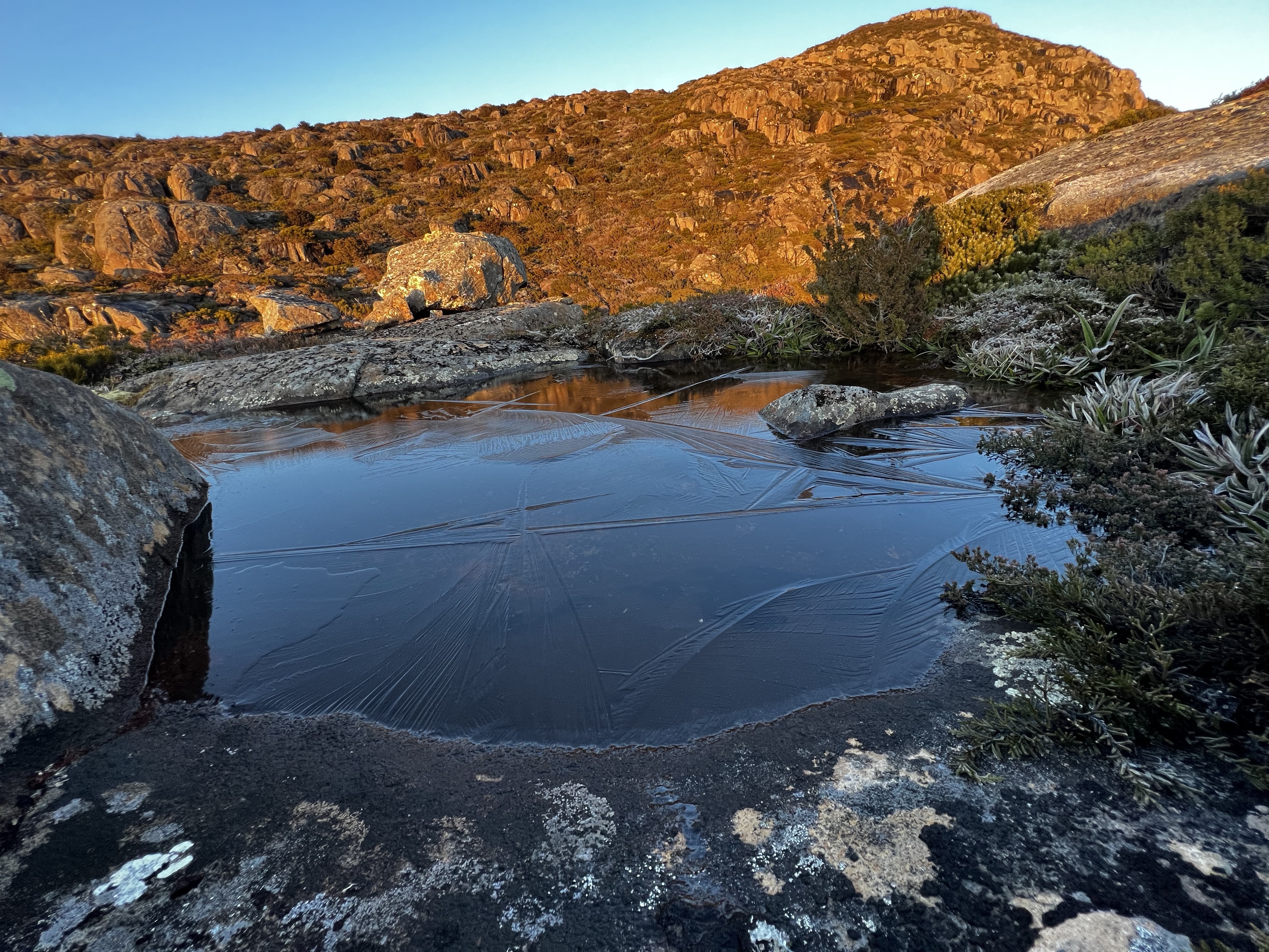
It was cold for quite a while, as the ice would reform after we broke it to retreive water for morning coffee.
It had been decided in the dying light of the night before that perhaps we wouldn’t have enough time this walk to make our way across the plateau and down to Lees Paddocks, so that plan was sadly jettissoned.
Never mind. Always a next time.
After packing up and suffering freezing hands from having to touch the tent, we navigated back around the Twin Spires mountain, found the track and headed for home the way we had come.
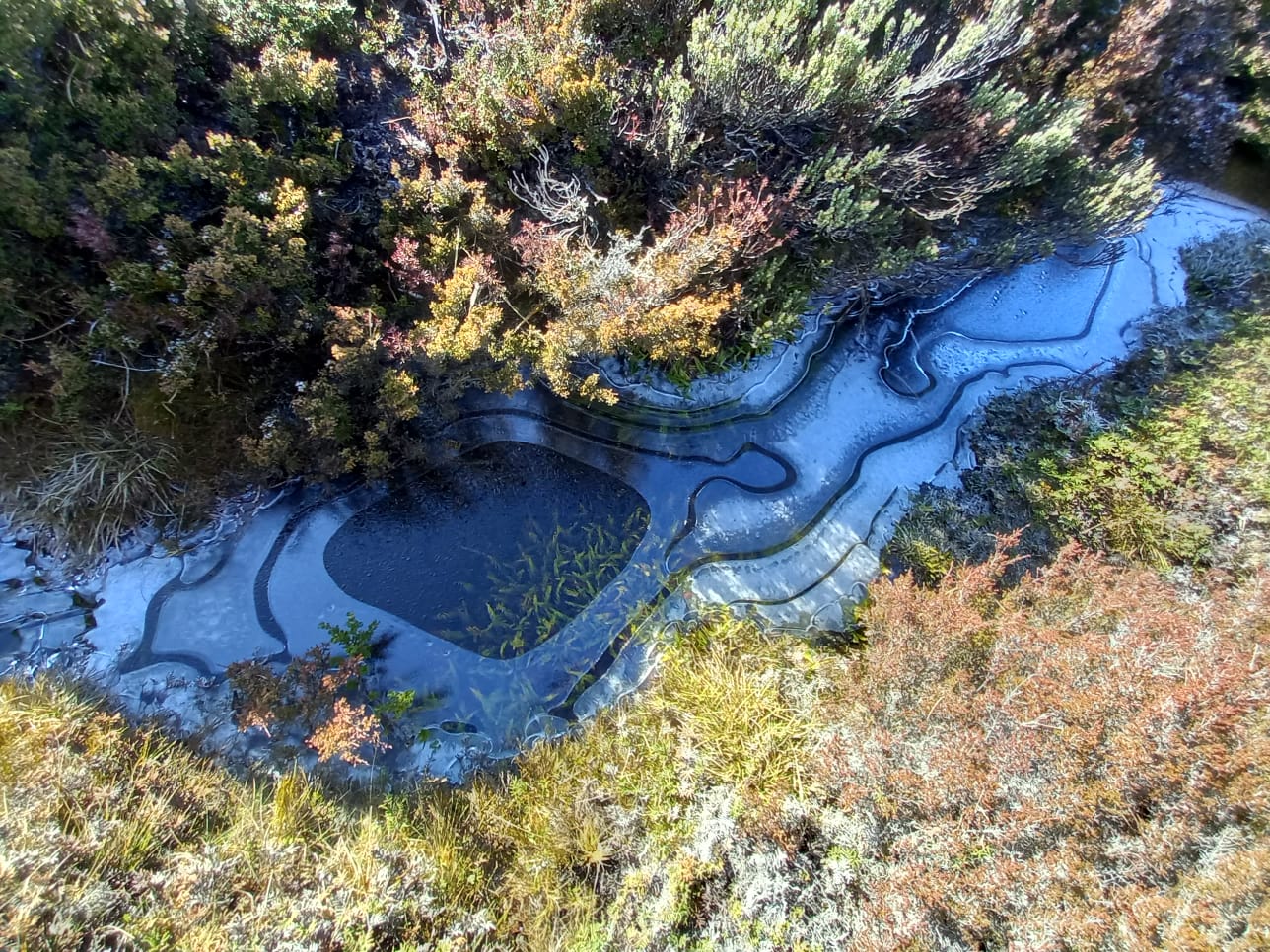
Tent Tarn - about 100 meters lower than where we slept - also had a freezing night.
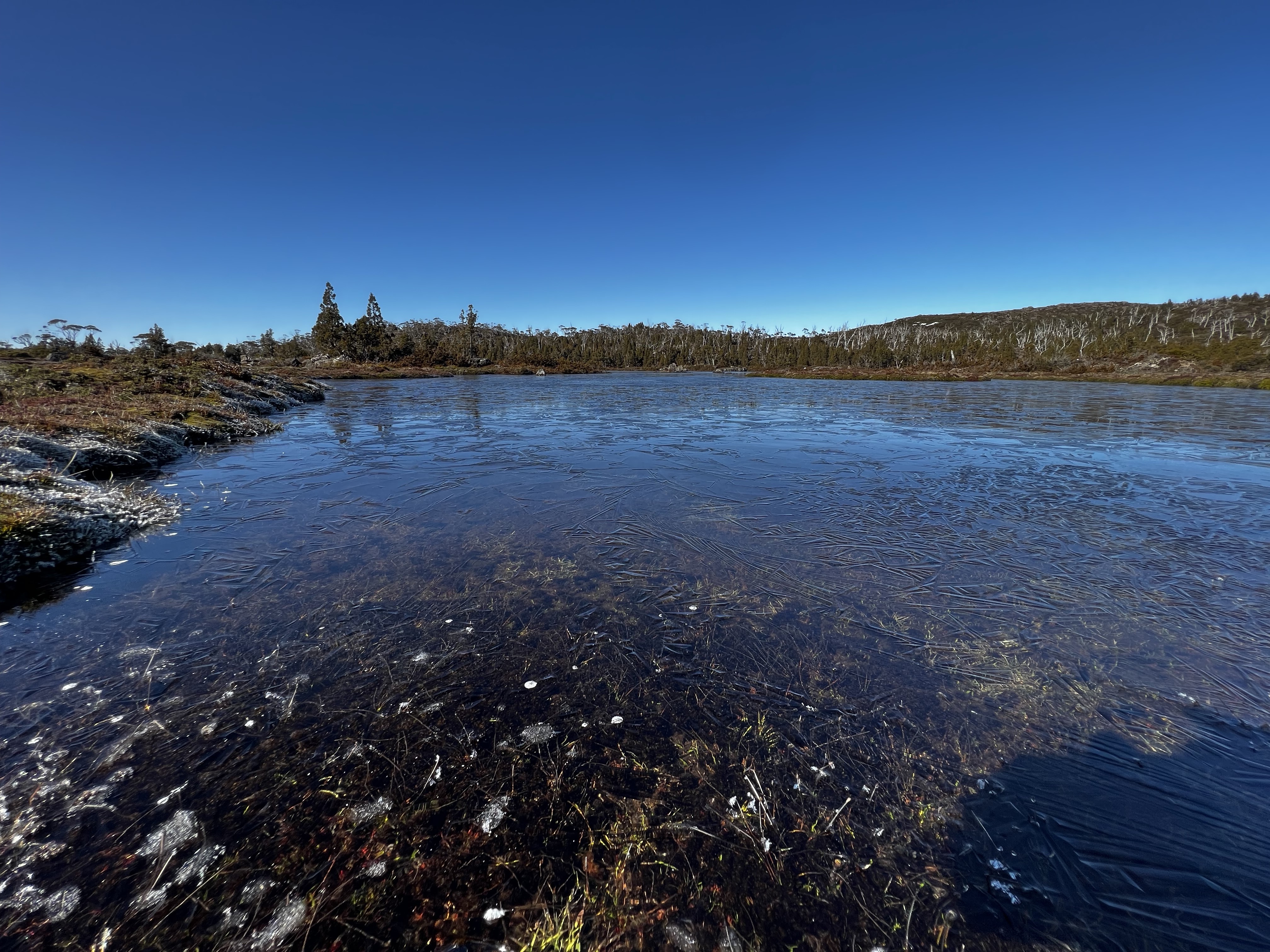
And Chalice Lake, another 100 meters lower, also had a cold night with much of the edges of the lake still frozen when we walked past.
After stopping for a brief break on the top of Grail Falls again, we slowly decended off the plateau and headed back to the car.
A lovely walk: thanks to Stuart and Lesley for inviting Clive and me! And thanks to Clive for not getting lost.
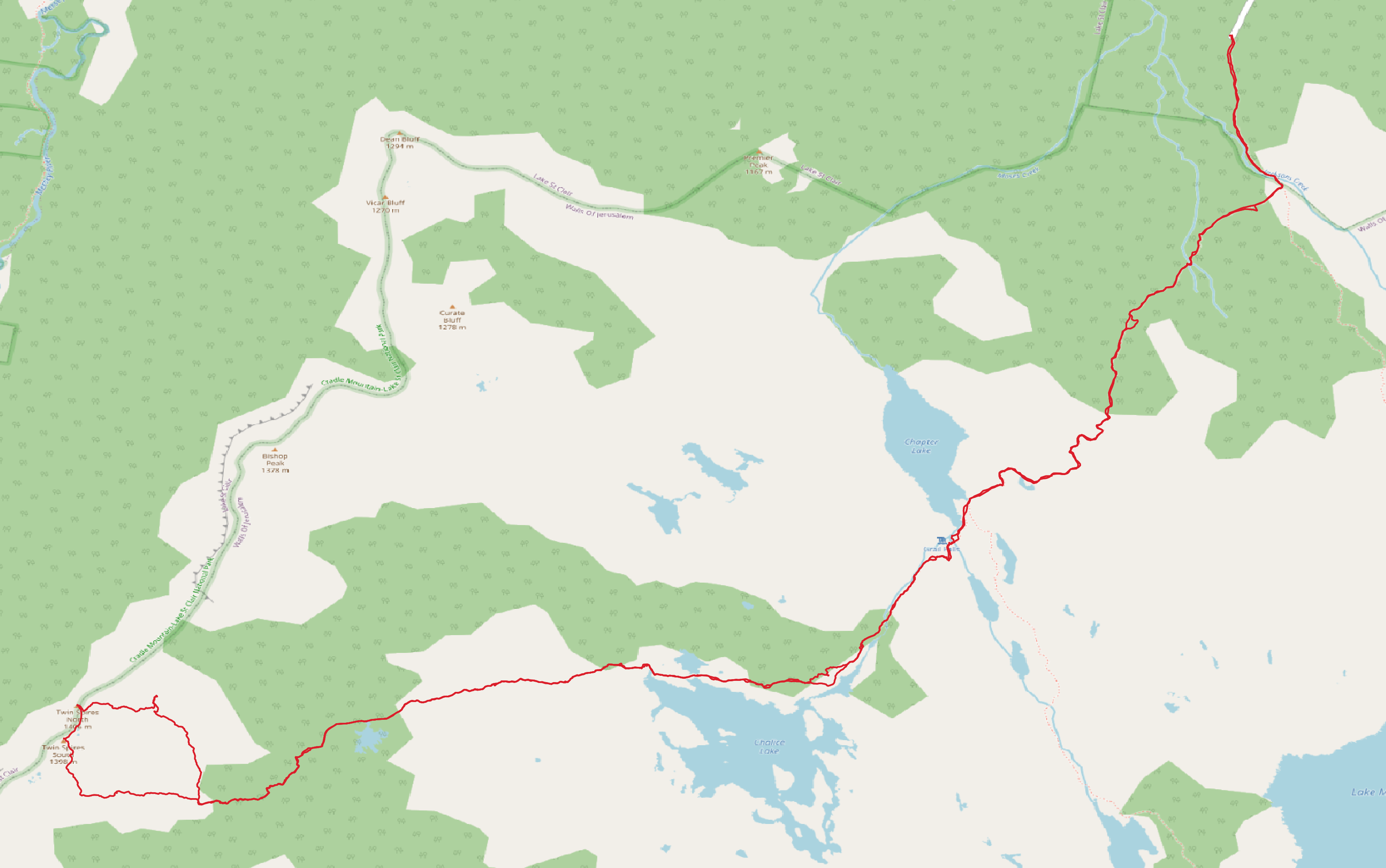
Trip map2
Walk dates: 3rd September 2022
Total ascent: 1086 meters