The last time I’d been up Mount Oakleigh, I’d climbed it to the point where you get a good view and called it a day.
As such, I’d never really counted Oakleigh as a mountain I’d been to the top of - it was instead one of many in the “sorta” column: climbed, but not really.
So since I was passing through, I figured 2023 was the time to move it once and for all from “sorta” to done.
Problem was I almost didn’t climb it properly again!
So many more mountains!
Find all the walks from that series here
The day started like it usually does: breakfast, coffee, slowly getting ready.
Eventually I was off, down the stairs of New Pelion Hut and off along the board walk and obvious track headed for the base of Oakleigh.
It’s very easy walking and the views are lovely across the Pelion Plains
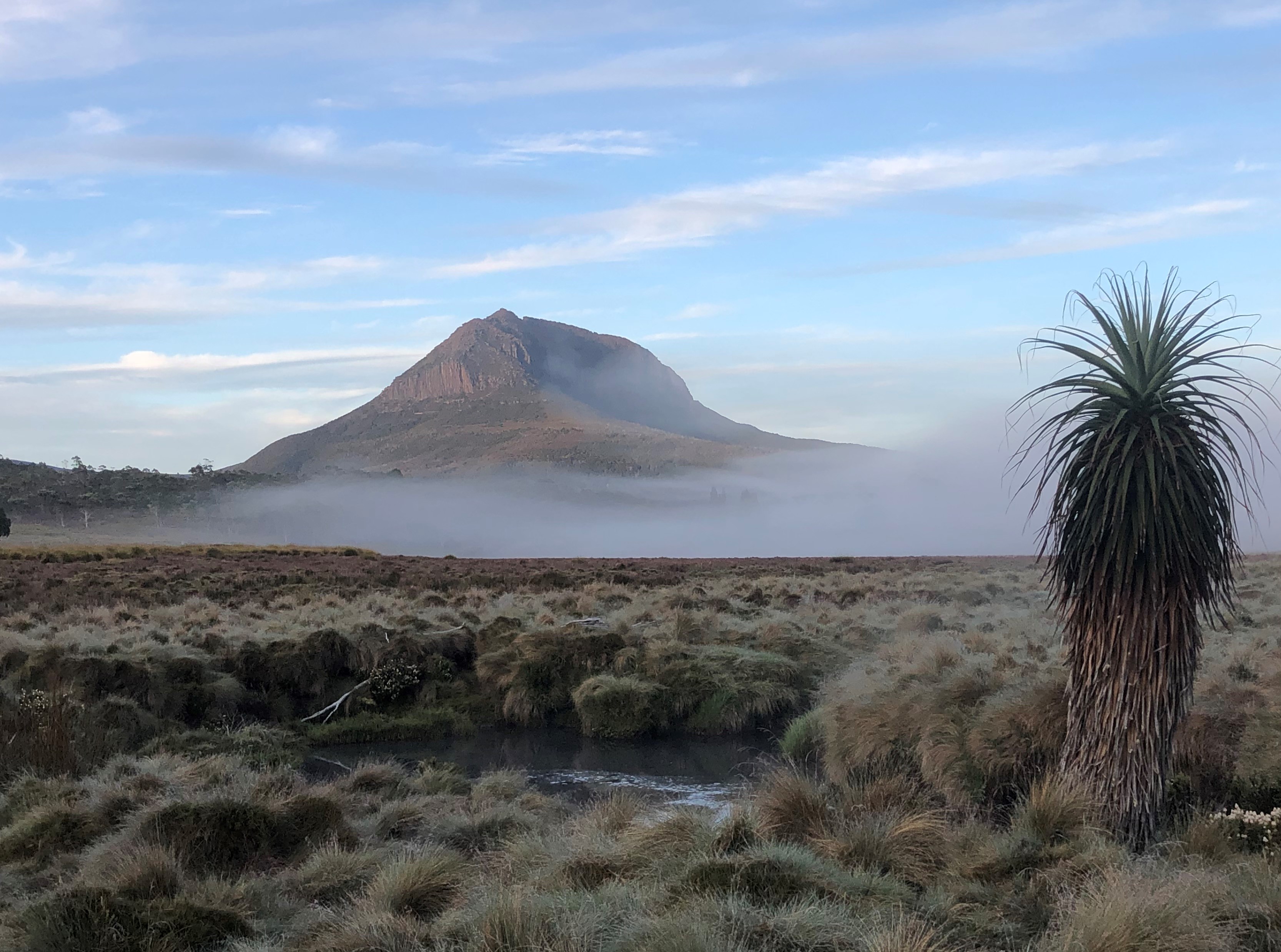
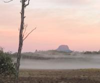
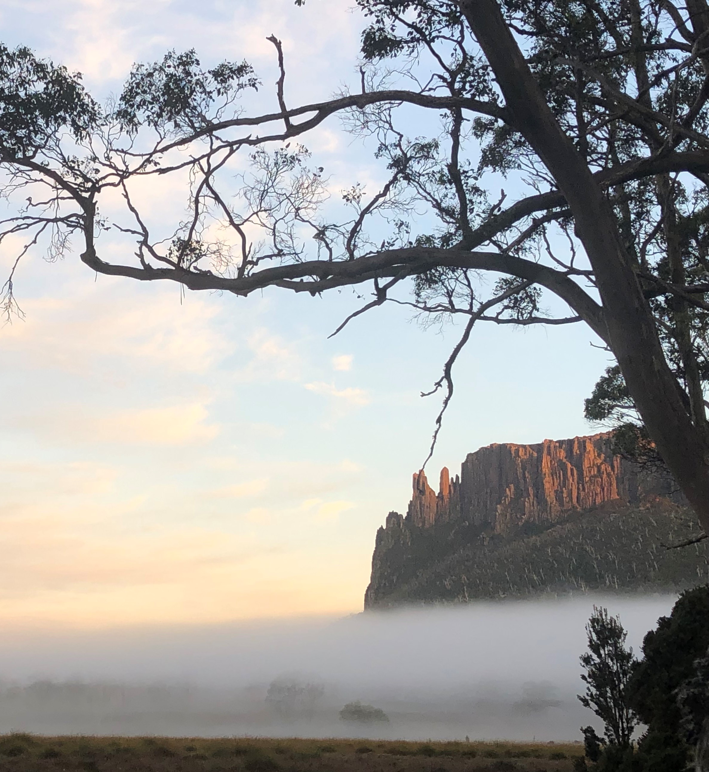
Once you hit Oakleigh’s base, it’s pretty much a solid climb until you get to the saddle in the middle before you turn west to walk along the cliffs.
I did accidentally wander off the track a few times, but easily found my way back again pretty quickly.
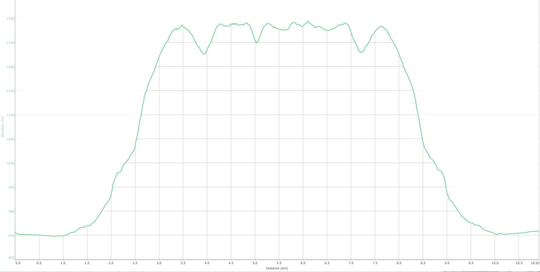
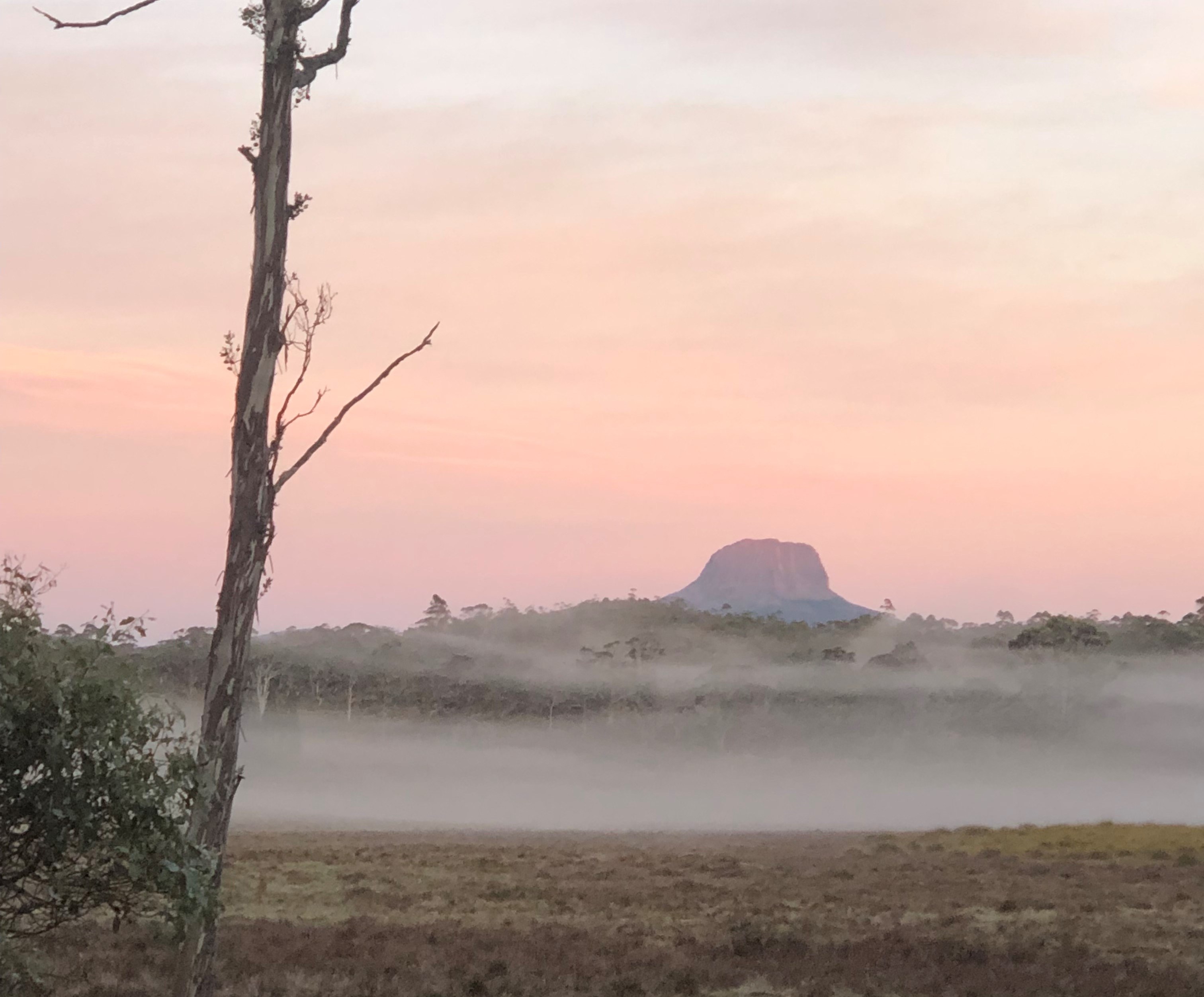
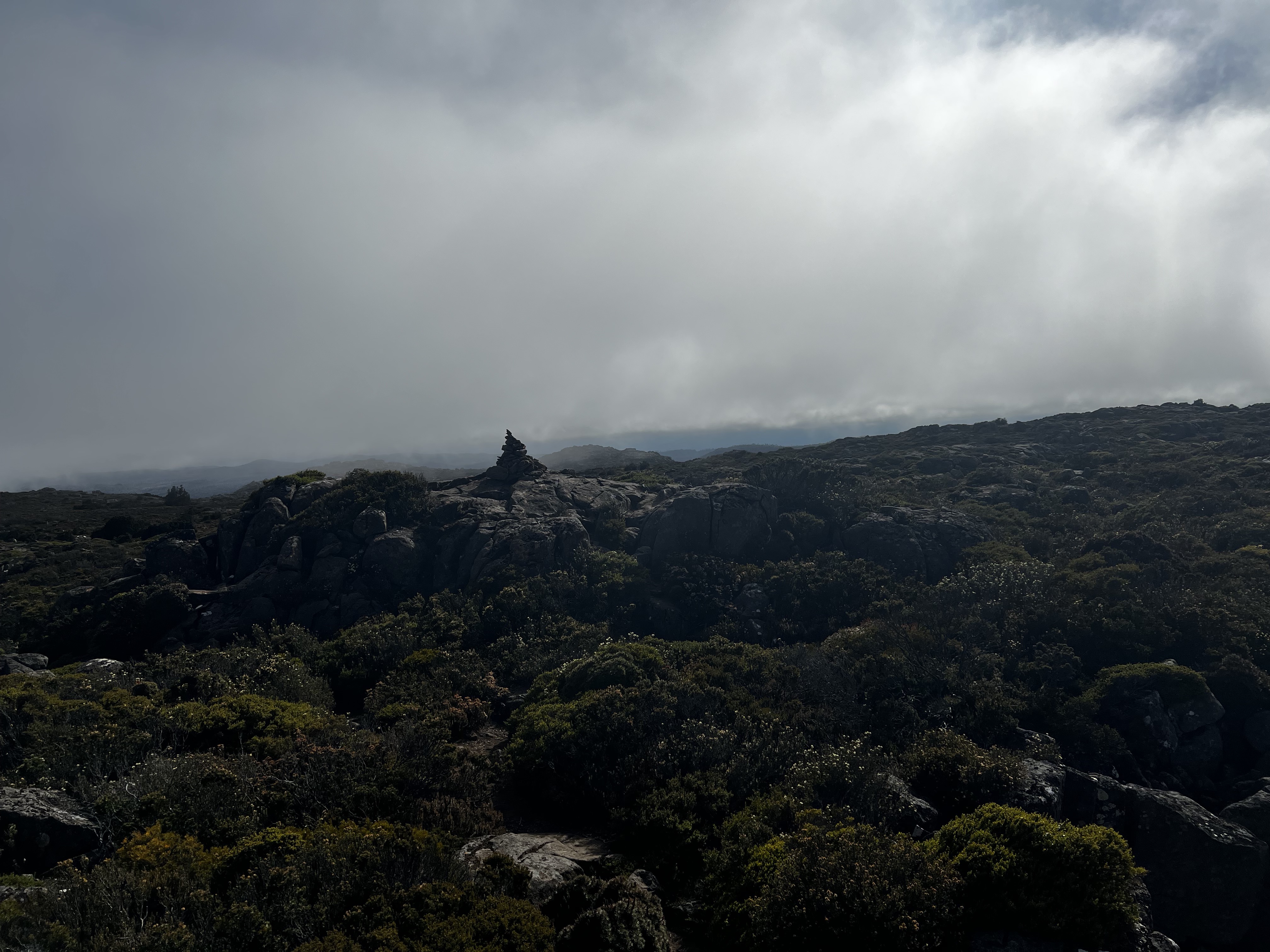
Then, in the distance, I saw a big pile of rocks. “Ahhh,” I though. “The summit finally - but much quicker than I thought!”
I was quite proud with myself for making the top so quickly. I looked around, took some photos, and looked some more as the clouds lifted higher and higher.
After I while, I started back again - covering the distance along the top plateau quickly.
Then I stopped. I thought back to how I’d managed to get up so quickly. I thought how I was looking at the map the night before and saw the “actual” summit was tucked back behind from where you can see from New Pelion Hut.
I pulled out my map, and realised I hadn’t actually been at the proper top!
“Shit,” I said out loud as I turned and started walking back to where I just came from.
Turns out the top top is 800 or so meters to the north of the big pile of rocks. It’s not a particularly hard extra bit of walking, but I suppose it must be done if one is to properly move it from the “sorta” column.
Eventually, I got there.
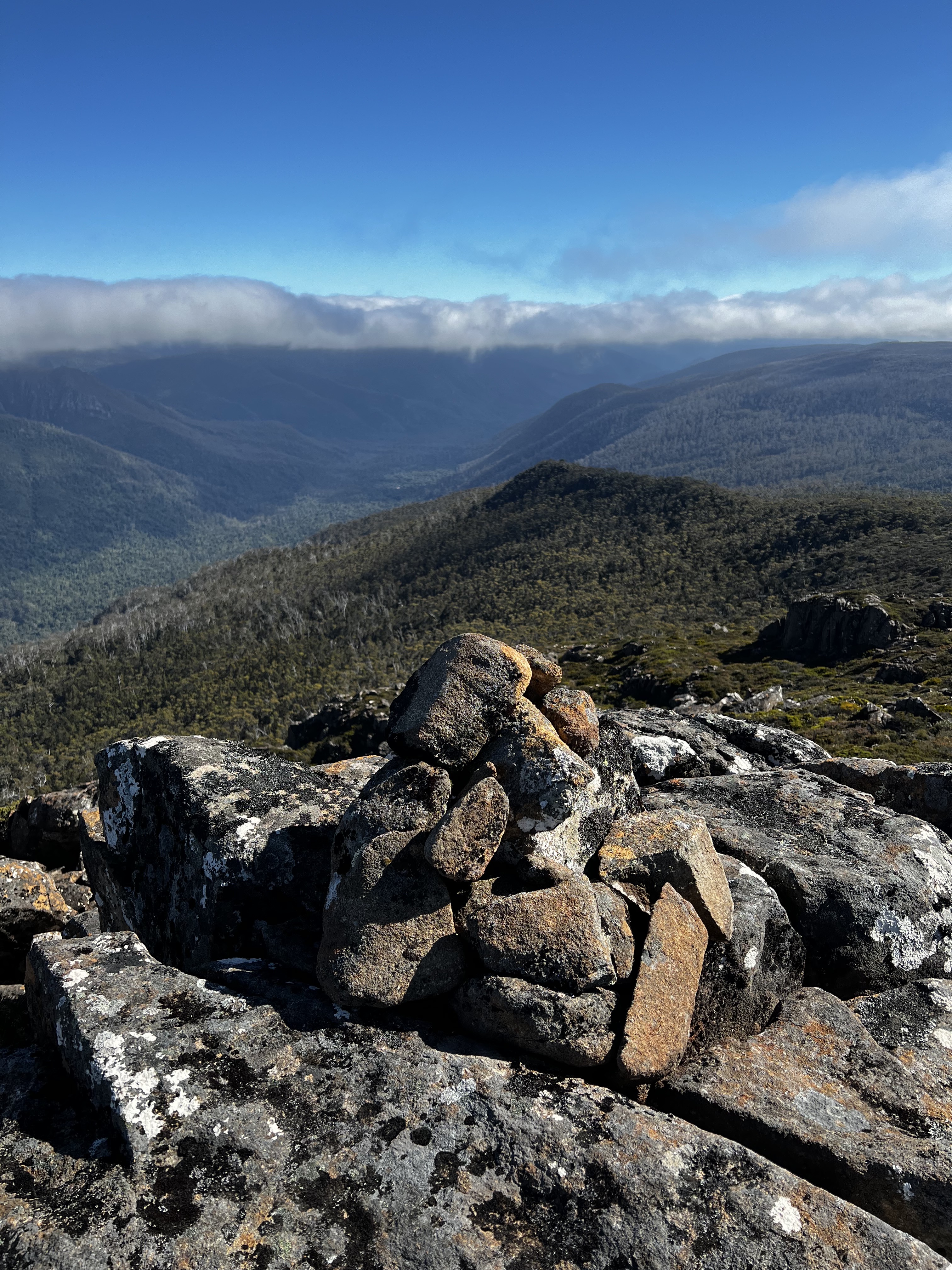
It’s worth it. The views are lovely and a bit different from the first place I’d been.
In fact, it was rather fortunate.
I got extra time exploring on top of an awesome mountain that is so lovely to look at when you have the privilege of staying around the Pelion Plains!
And I got to finally move the mountain from “sorta” to “done”. :)
But while it might be “done”, I hope it’s not the last time I get to visit this one. A delightful and fun trip.
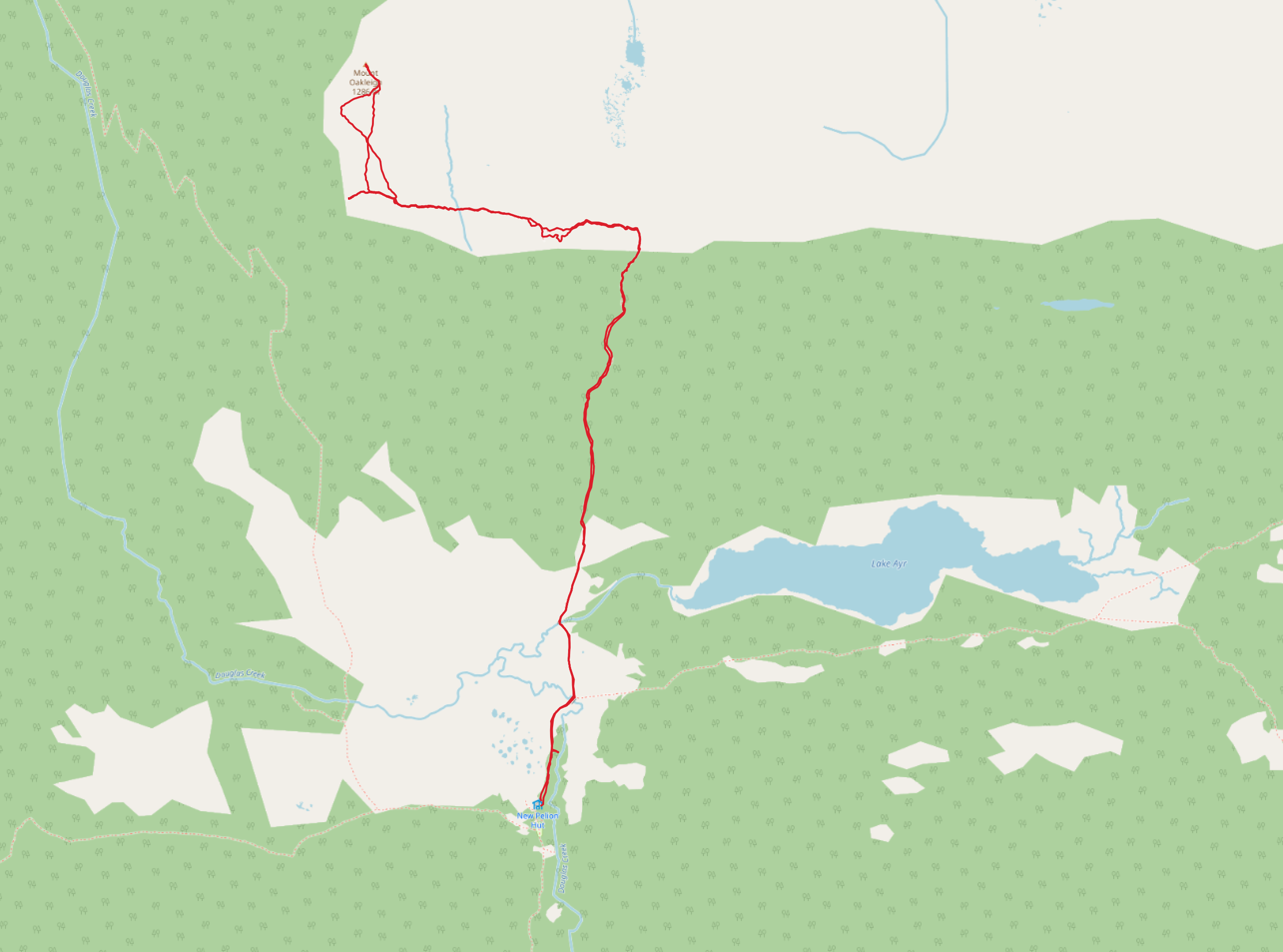
Trip map1
Elevation map