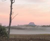
With Quamby Bluff done, it was time to turn my attention to the day’s longer walk.
Quamby Bluff had put me in good spirits, and it had provided a nice warm up for what was to come.
Lots from the Central Plateau!
Find all the walks from that series here
We drove back down the western side of Great Lake, weaving our way through the small towns that are situated on the lake’s edge.
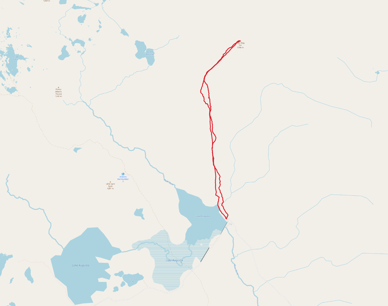
Eventually we came to Liawenee - often one of the coldest places in the country - and turned off to begin the 14km or so drive to Lake Augusta (or more precisely Bernacchi) for a walk over the Wild Dog Plains to Wild Dog Tier.
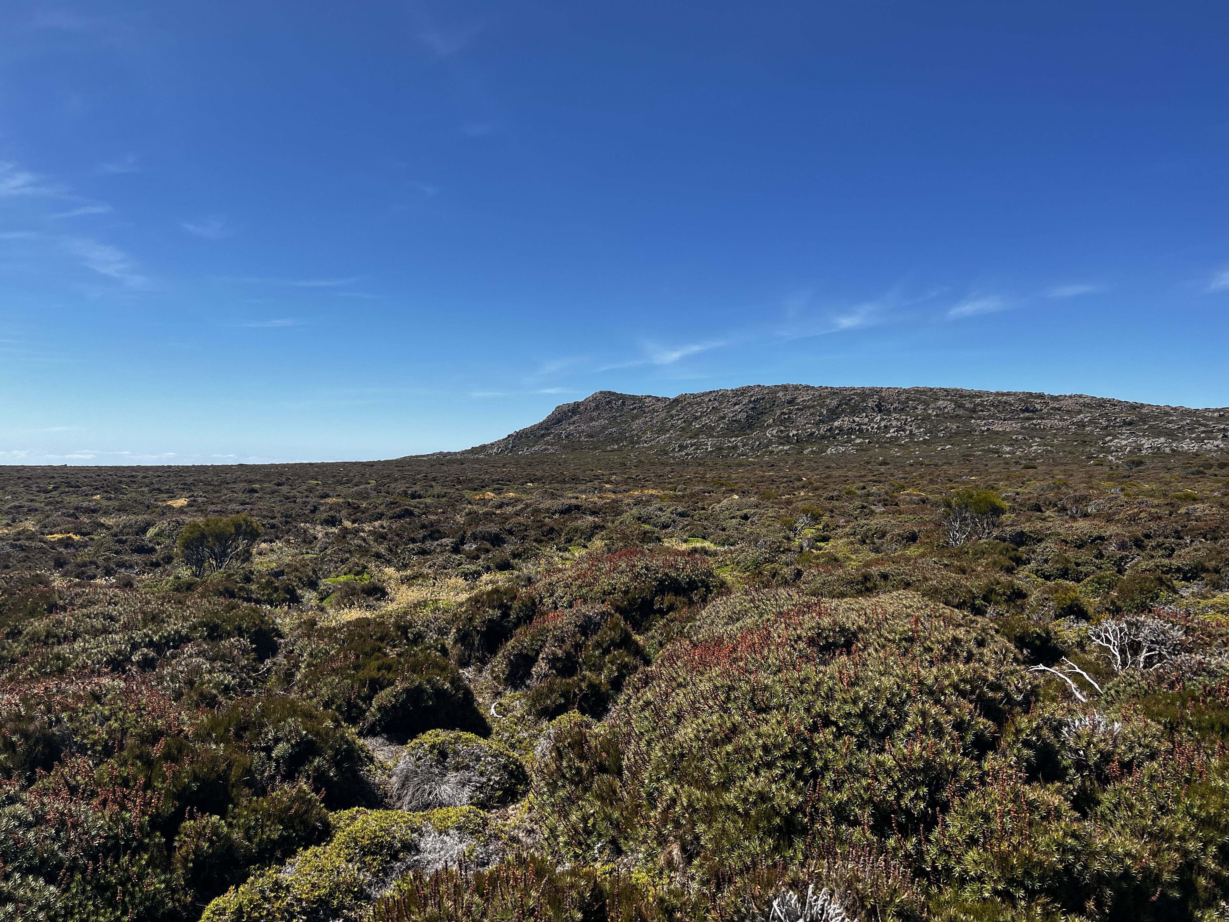
Wild Dog Tier isn’t really a single mountain as such. The tier rises and falls as you look across it. It’s sort of like a horse shoe - going from north west of where we stopped at Bernacchi, right round to Rats Castle in the east.
Getting to the peak wasn’t a hard walk as such, but it did take a while due to the distance.
After parking and packing my stuff into a day pack, I dove into the low scrub and started the walk north westerly across the plains.
The walking was mostly easy, and there were many wallabies bouncing around.
It was also quite dry, thankfully. I’d heard that this walk often can be quite muddy or wet, so I was thankful that I didn’t need to worry about dodging tarns or mud holes at all.
Eventually I made it to a small scrubby section, about half way up the climb before you turn right and walk along the back of the tiers.
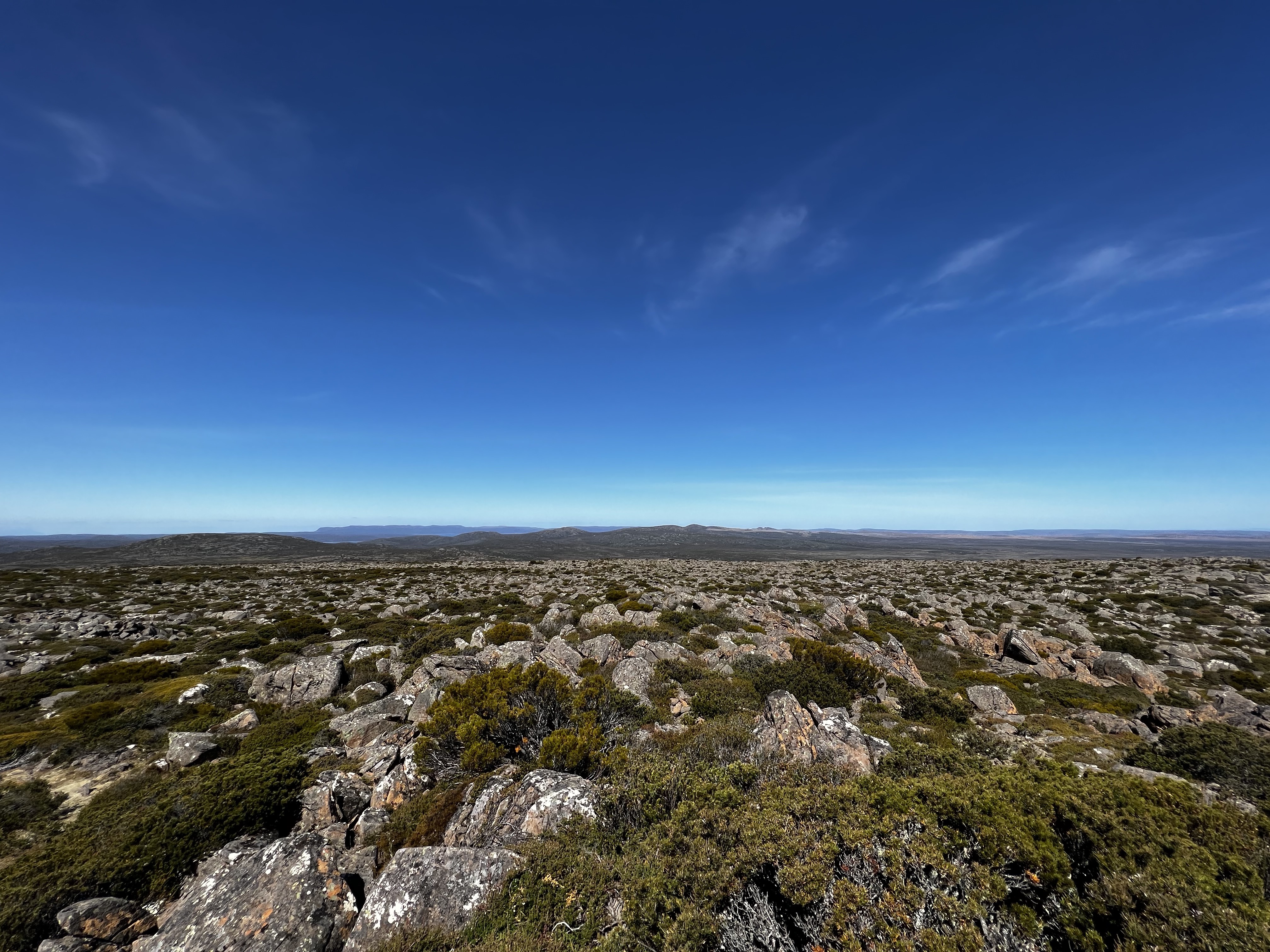
It was hard to avoid the scrub, but after dancing around the worst of it and climbing a few rocky outcrops it eventually gave way to a much nicer and very picturesque plateau up top.
As I rounded the edge of the tiers (nearly climbing up it thinking I was close) I could see Wild Dog Tier’s high point way off in the distance.
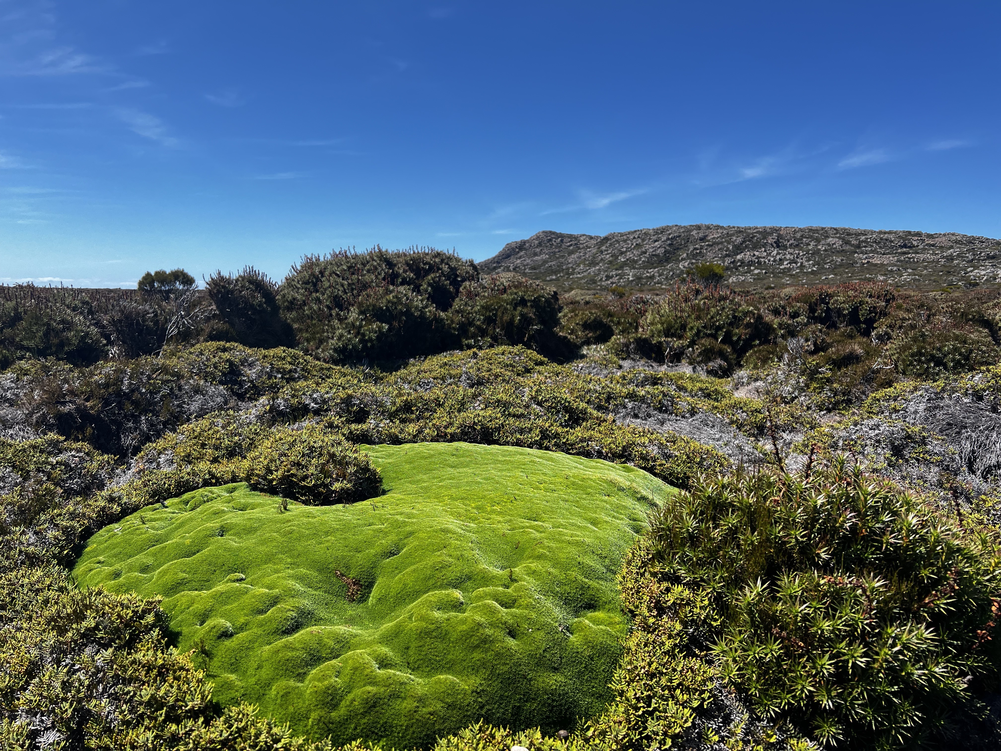
Walking along behind the Tier was nice. Again, not too hard to avoid the worst of the scrub.
As the high point got closer and closer, the wind picked up slightly. But the worst of the weather seemed to hold off. There would be no rain today.
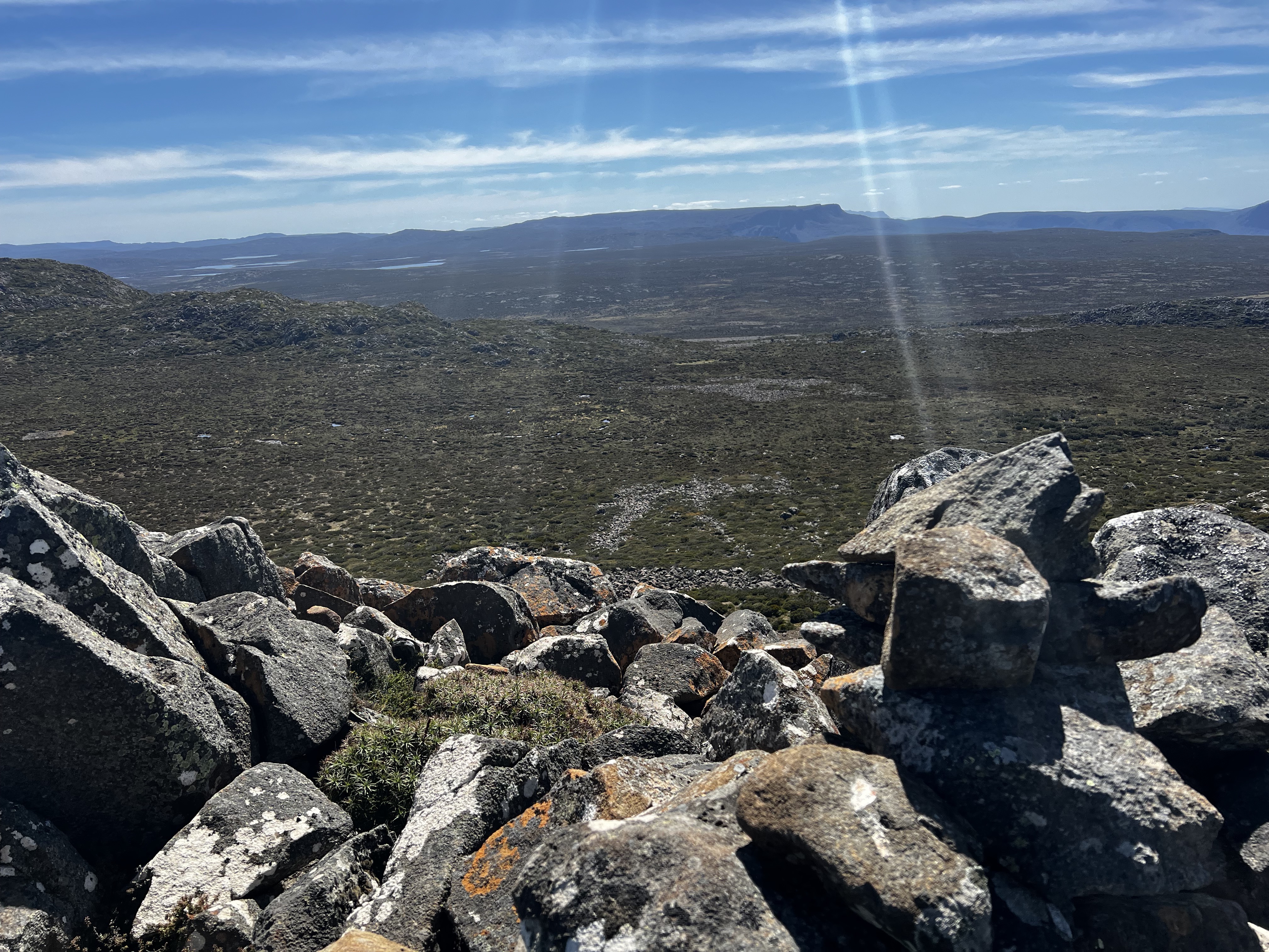
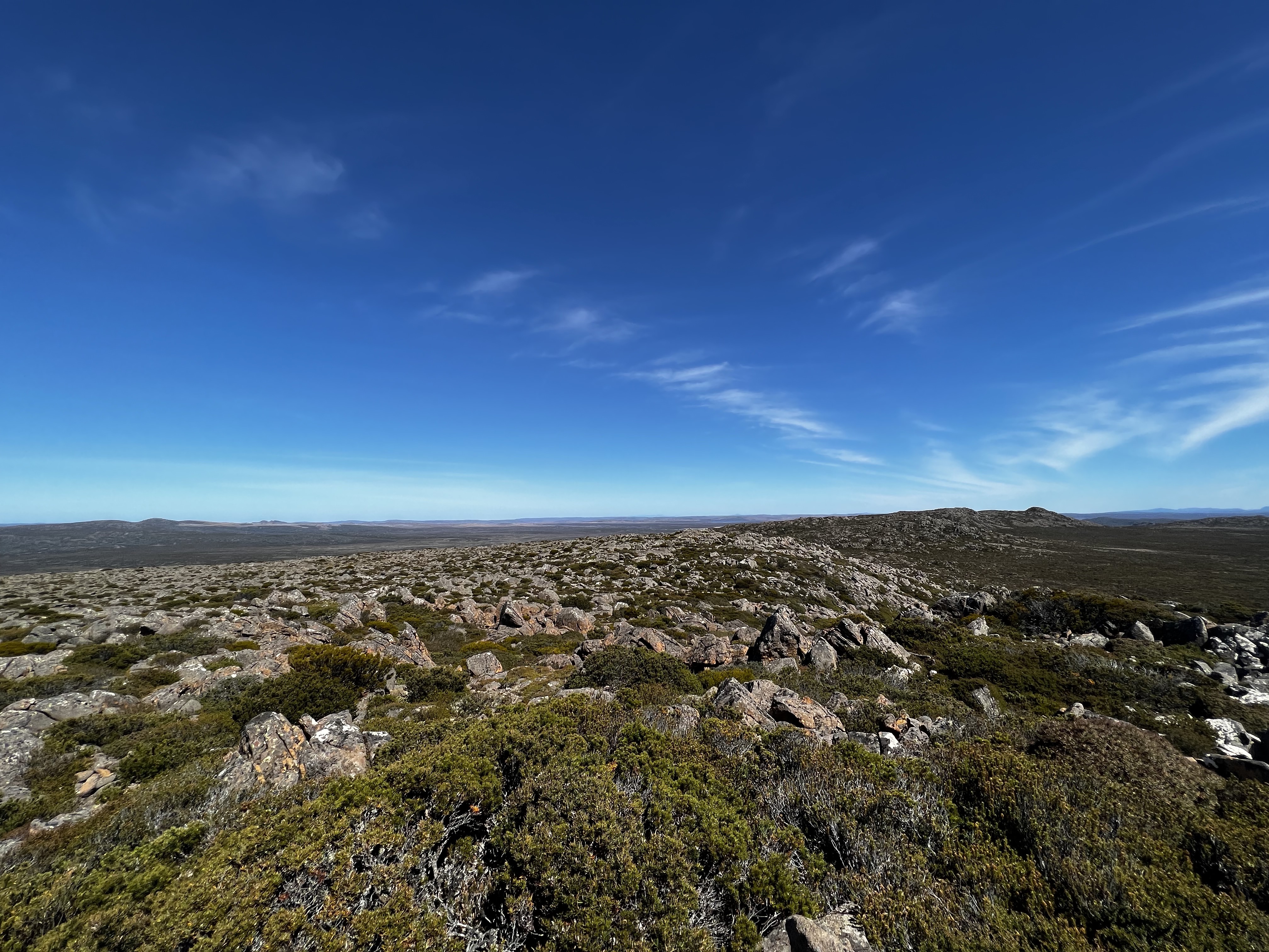
Eventually, I came to the last climb up to the official high point and carefully picked my way up through and over boulders.
In not much time, I’d made it. The view was lovely back to Lake Augusta, over to Great Lake and westerly to the many, many lakes that fill in that part of the world.

The walk back took about the same time as the walk out did. But without a mountain peak to keep me walking on a straight line, I kept bearing off to the left before I realised what I’d done.
It added about 10 or 15 extra minutes - but it didn’t matter too much as it was easy walking.
In the last section, I discovered an old vehicle track which I’d missed on the way out. That helped increase the speed quite significantly, and eventually I was back at the car.
A nice walk all up. Something a bit different too than usual. A longer walk, over pretty easy terrain all things considered. Thanks Wild Dog!
And I’d be up early the next morning to visit the other end of Wild Dog Tier: Rats Castle.
Trip map1
Elevation
