When I woke, I didn’t feel like following the original plan.
The plan would have been to go all the way to the Du Cane Gap, then up - through the scrub - to Falling Mountain.
The idea of scrub bashing, while going up hill, didn’t really appeal to me - so I made the decision to leave with Clive and Tom and get a lift back to Hobart.
I’d follow up on the southern part of the part later in the week - well that was the plan.1
I thought back to the trip I’d done so far: 10 mountains. Not bad!
So many more mountains!
Find all the walks from that series here
But then I realised I could do one more before finishing - Mount Pillinger.
It was on the way out via the Arm River Track. It shouldn’t be too hard to find, so why not?
We set off, and I left Clive and Tom - we’d meet up either back at the car or somewhere along the track.
The going was pretty quick. I found a wonderful little campsite at the eastern end of Lake Ayr (I say I found, but it’s very well know. I should say I went to check out). I’d love to come back to this spot again.
I didn’t get a photo though - oops! I didn’t get many at all today.
I knew I had to turn off before I got to Lake Price - but I missed the spot completely. Looking at the aerial photos from home, I know exactly where it was - but either I didn’t see it or I did but there were sticks lying over it and I didn’t think that it was the proper turn off.
Not to matter though - I knew there was another track further along near a big sign that I knew I couldn’t miss.
I found the sign - and the track - a and headed up it towards Pillinger. It wasn’t long before I was at a massive junction - which would have been the same spot had I taken the other track.
From there, the tracks join and the Pillinger Track is obvious. I walked along it, slowly gaining altitude.
I came across one bloke coming back down and he said it wasn’t far to go. With a final push, I was at the top.

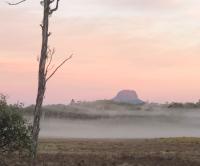
It was a wonderful morning. Weather was perfect and the views were superb.
I could see Lee’s Paddocks - this time from a different perspective - and followed them along until they turned into the Mersey River.
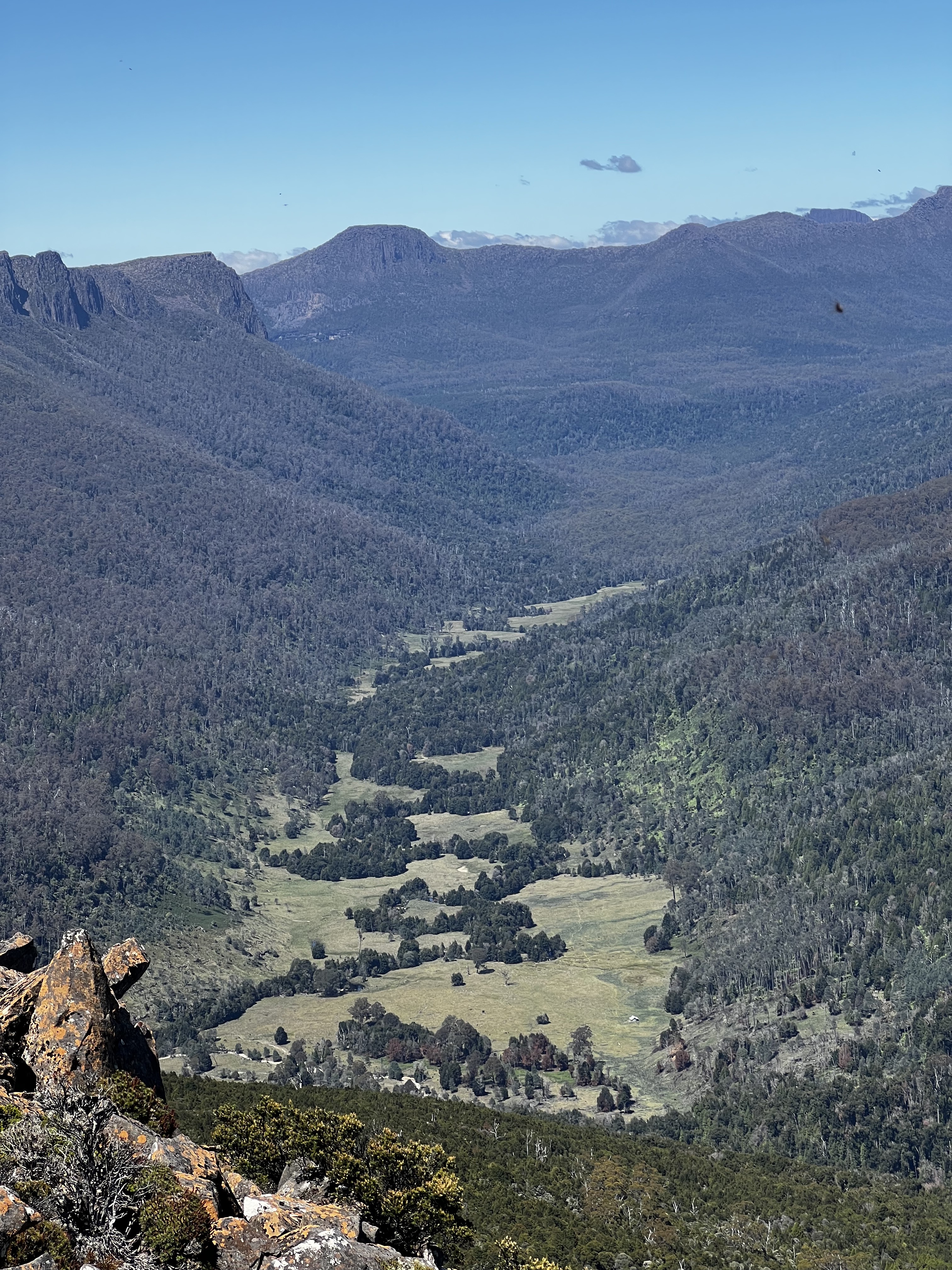
Behind them, Falling Mountain - where I had planned to be, but wasn’t. It wasn’t a worry though, I knew I’d be at the Du Cane Range soon enough in the future.
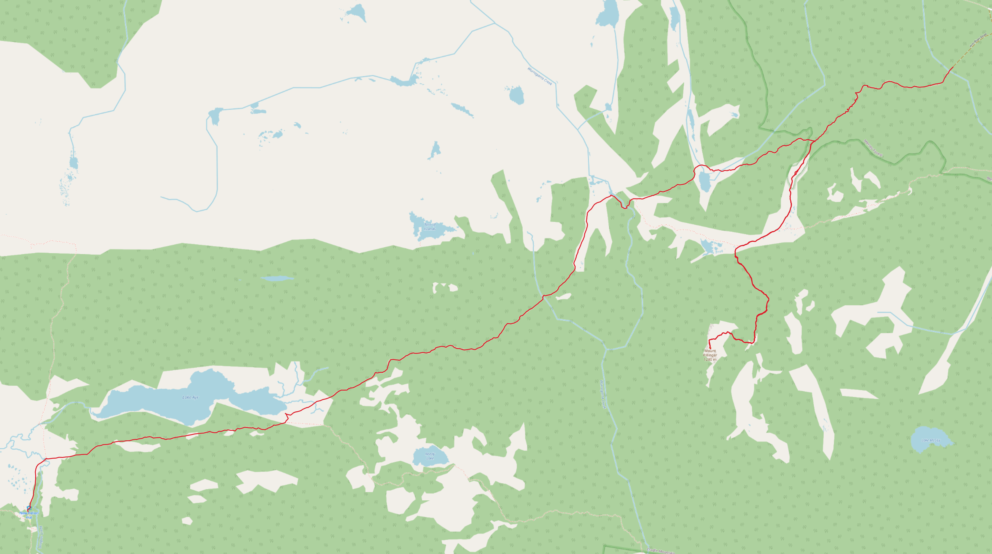
Trip map2
Walk times:
- New Pelion Hut to where I was supposed to turn off, but missed it: 1 hour, 50 mins
- New Pelion Hut to where I did turn off: 2 hours, 38 mins
- Sign on Arm River Track to Pillinger peak: 1 hour, 15 mins
- Peak back to the sign: 1 hour, 13 mins
- The sign back to the car park: 45 mins (this is down hill - expect longer if walking the other way!)
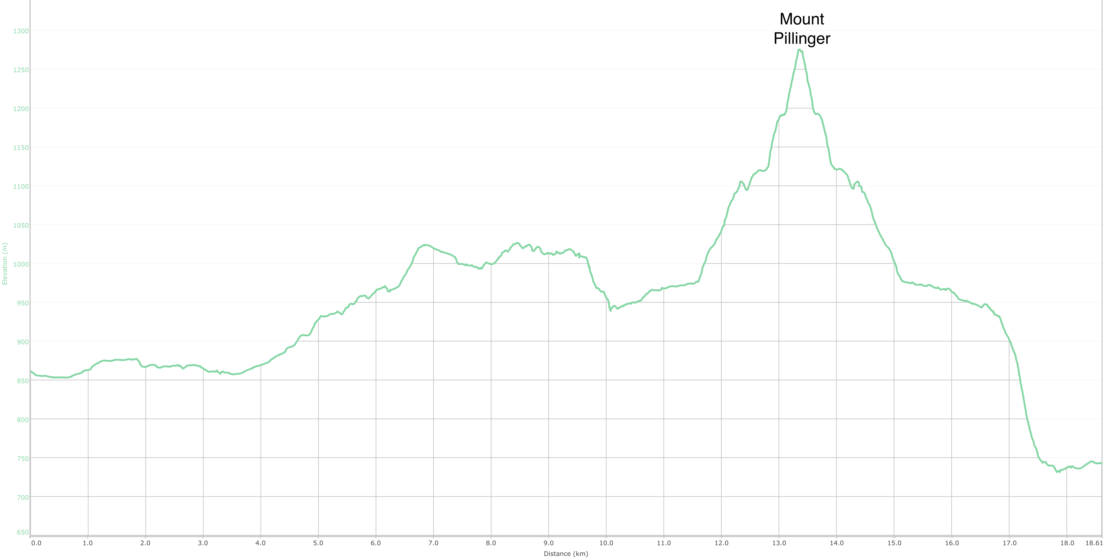
Elevation map