WALK INFORMATION

Date: March 19 2021
Distance: 10km
Weather: Nice
After my day walk to Collins Bonnet, Trestle and Marian a few weeks back, I was keen to get out again for another Friday day walk.
Thinking about where I could go, Mount Field came to mind.
I’ve been up there quite a lot over the years, climbing Mount Field West a few years ago but Mount Field East was always the mountain one drove past to get up to Lake Dobson.
So Mount Field East it was.
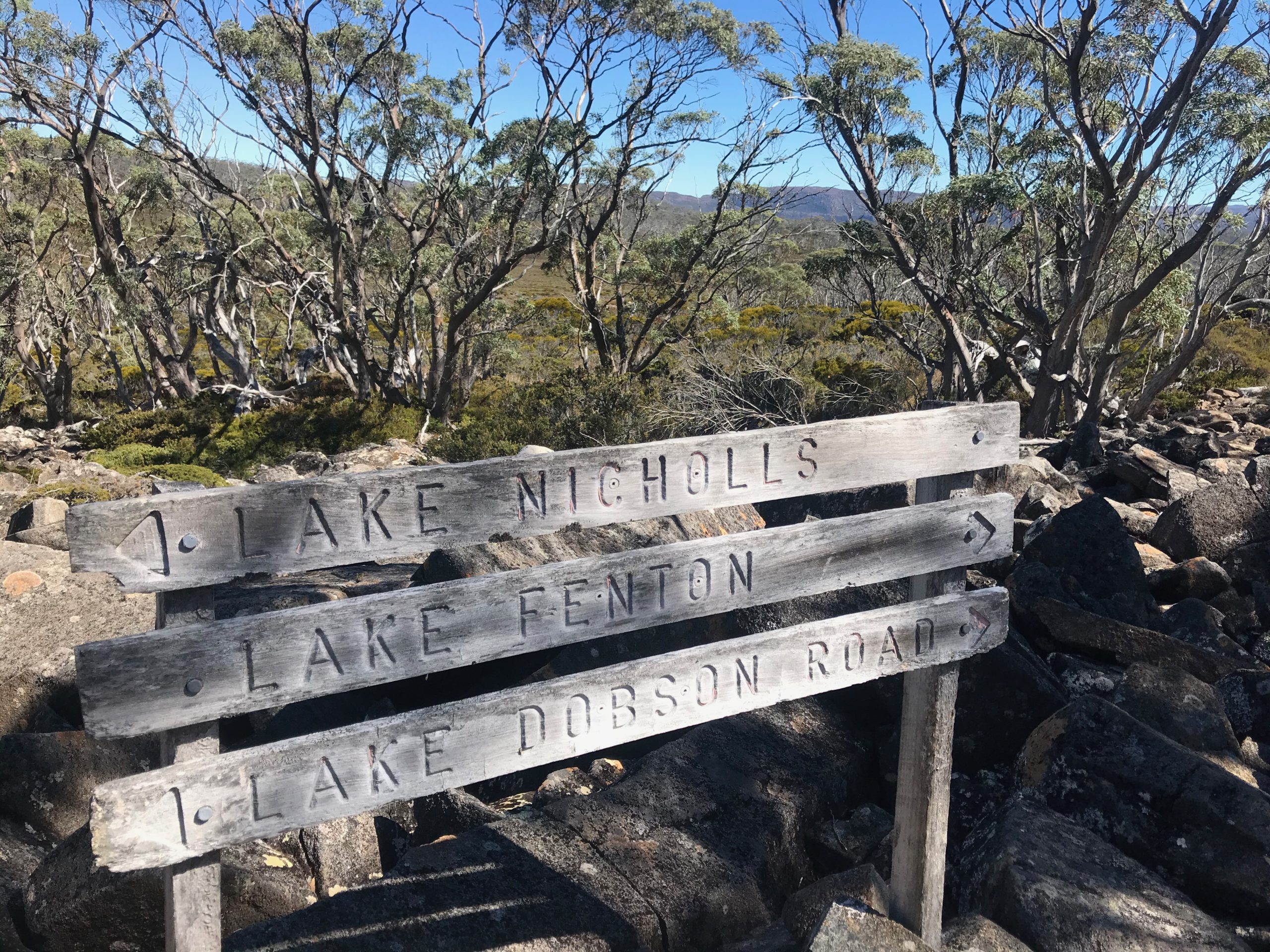
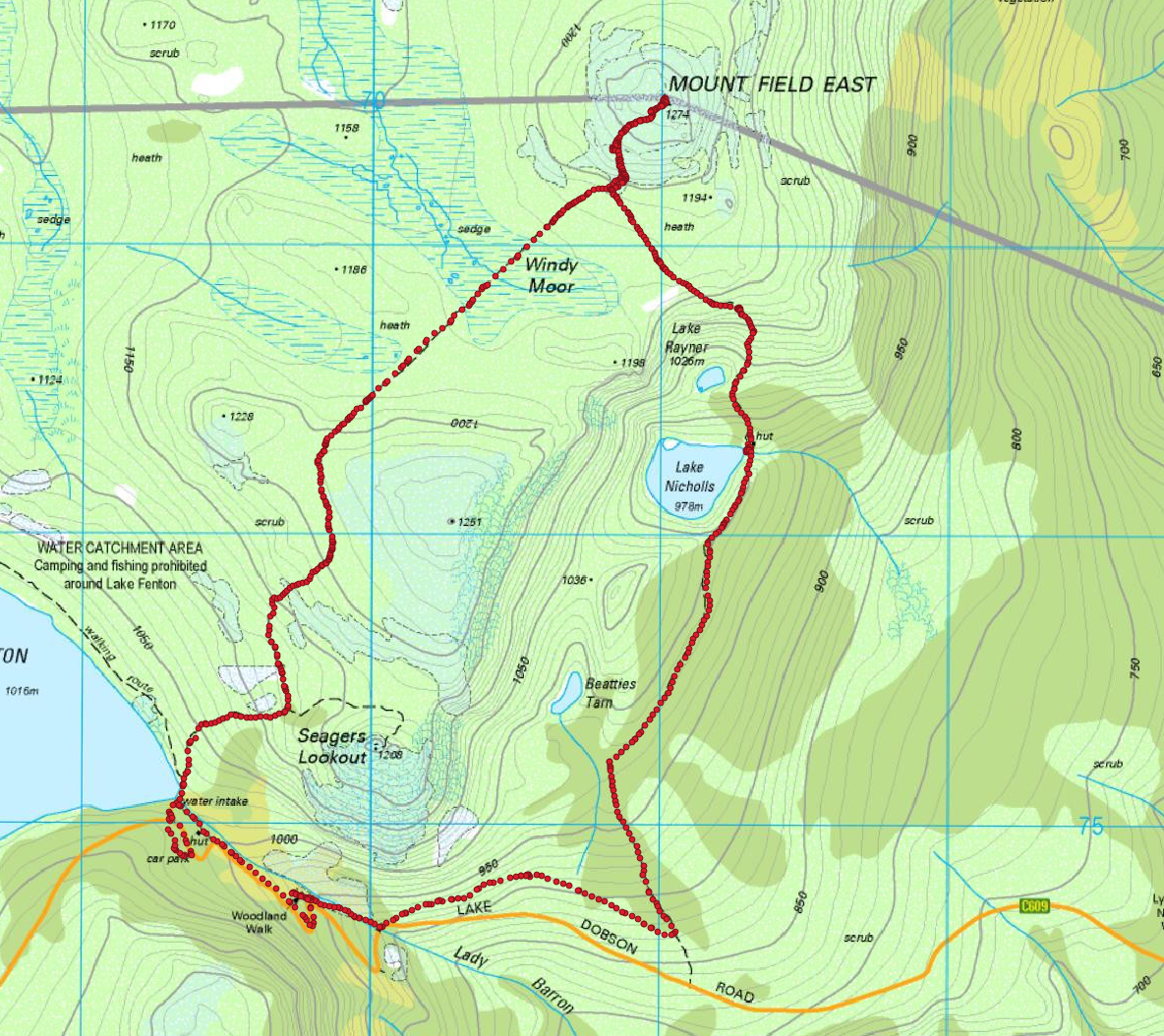
I parked in the car park (was the only one there), and set off up the hill. It wasn’t long before I was at the turnoff to Seagers lookout, but I kept going.
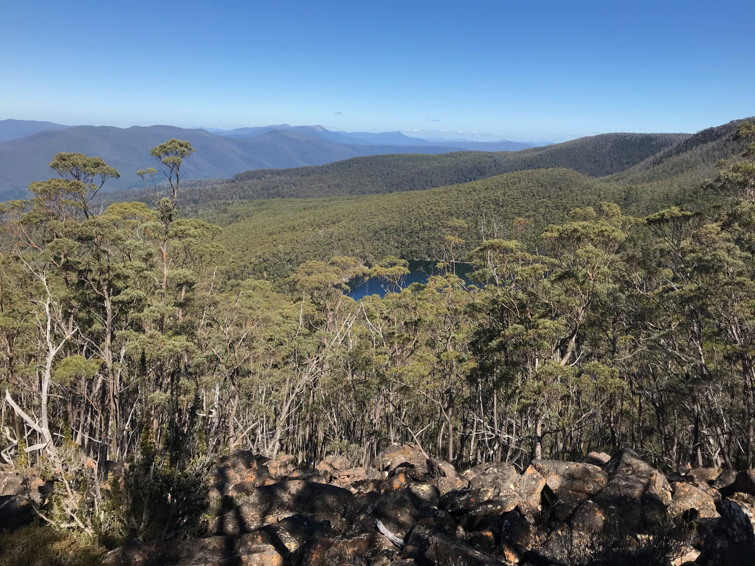
I found myself up on Windy Moor - and was presented with a very lovely view.
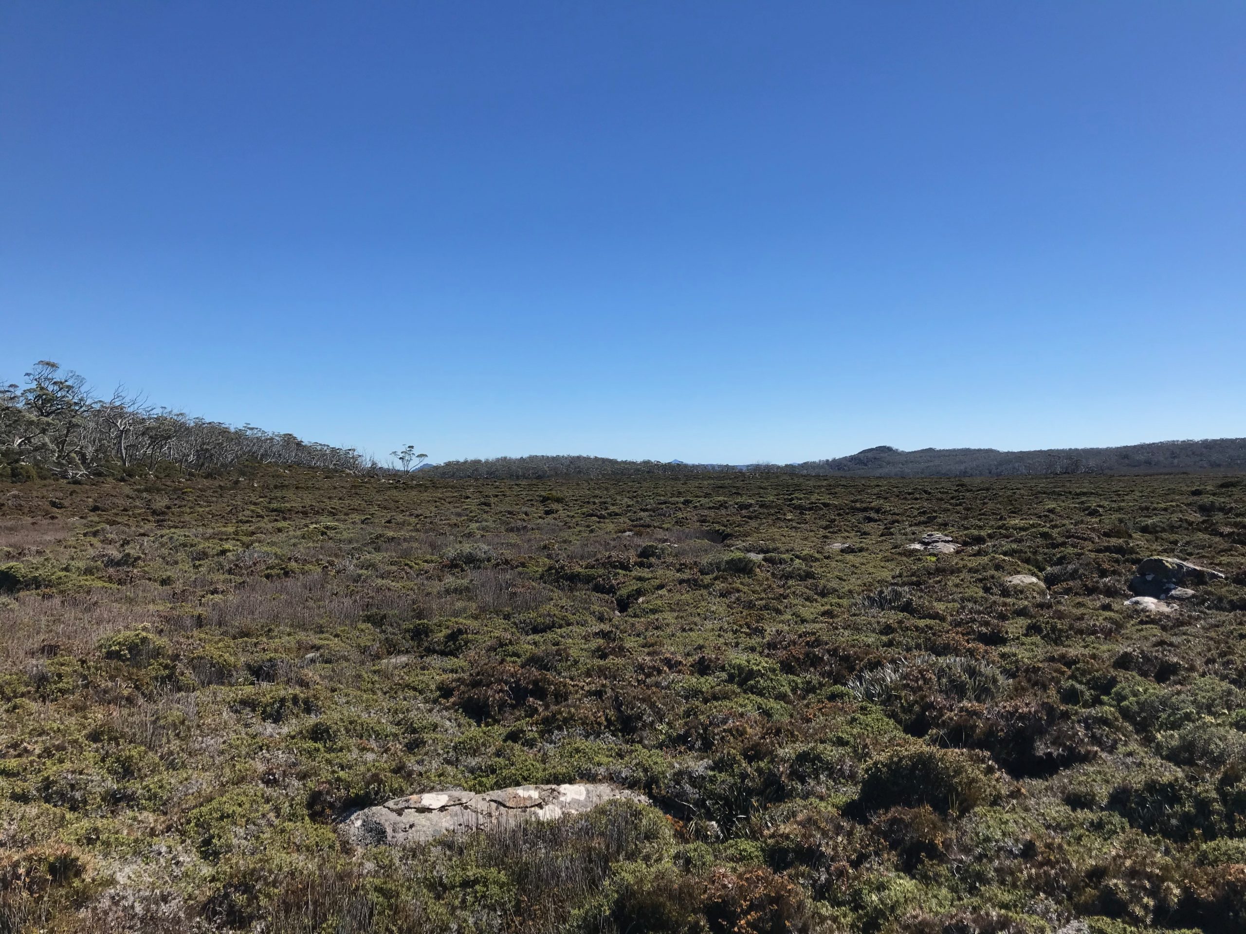
The sky was blue, the wind was very mild. Perfect walking weather.
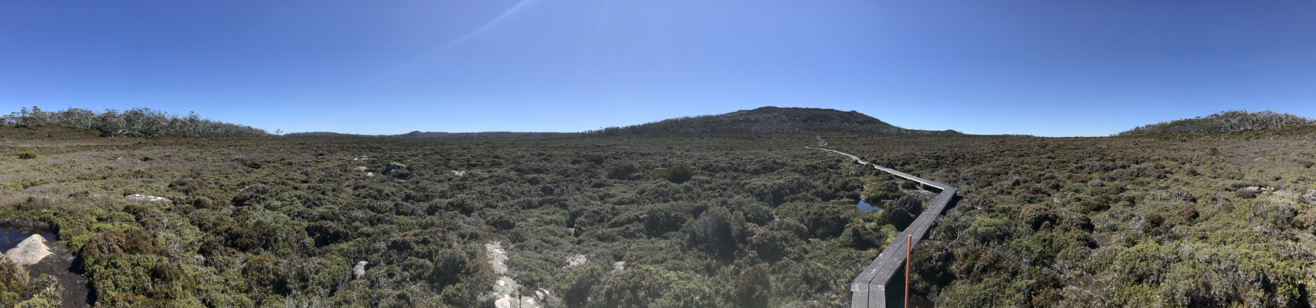
Oh I may as well include a panorama shot!
I usually don’t take many photos on my walks, but have tried to change this lately. The photos I do take are with my old iPhone 7 so they’re… not great.
To try and remedy this, I’ve recently purchased a second hand Sony RX100 V from a friend so I hope the quality of images improves with the next walk.
Anyway, I flew across the Moor and up the side of Mount Field East and before long was looking at the summit!
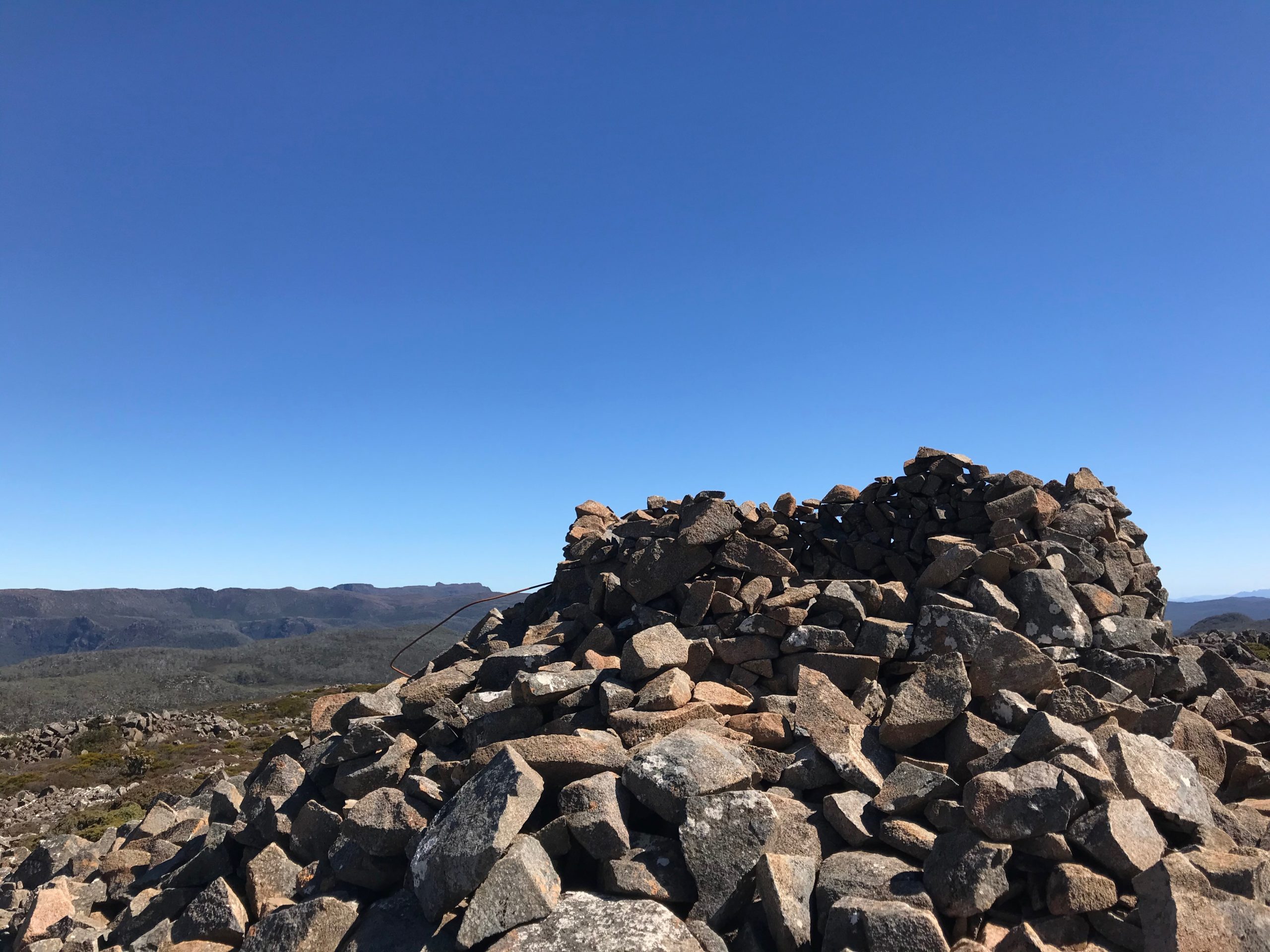
Mount Field East summit
I sat down for lunch with a wonderful view of Ellendale and Westerway.
It’d taken me roughly an hour or so to make it to the summit. It’d probably be a bit quicker if I took the same way back, and I thought since I’d driven all this way I may as well go back via Lake Nicholls.
So I took a different route home, quickly finding my way through much denser scrub and a rather steep hill as I lost about 150 meters of altitude.
The views over Lake Nicholls were superb
Lake Nicholls was a wonderful spot, with an interesting old hut to have a quick look at.
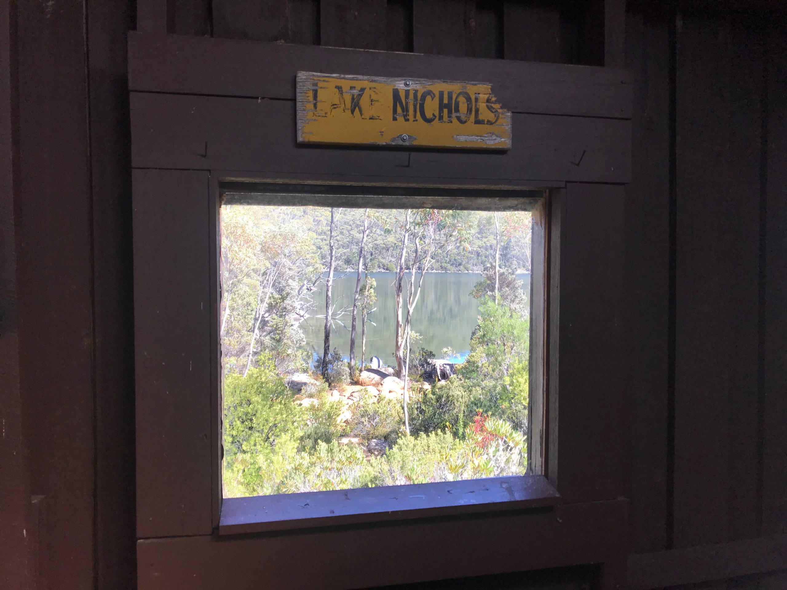
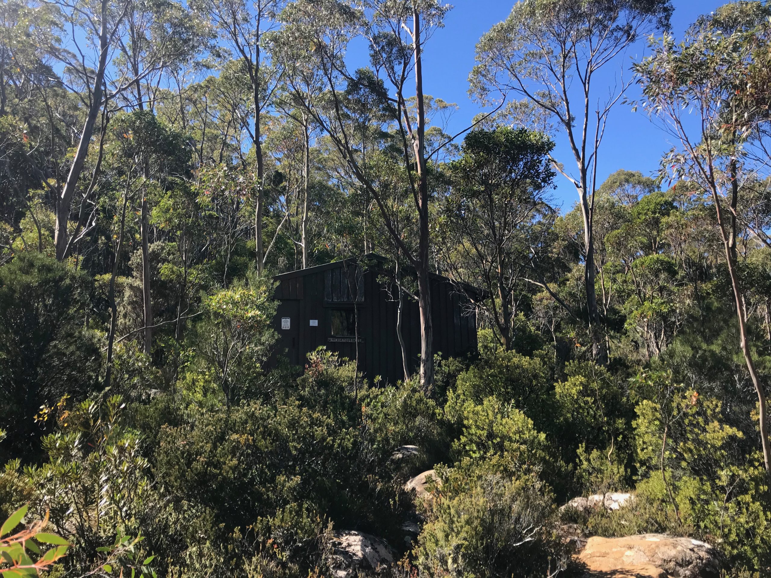
What a lovely hut

An an even lovelier lake
This walk was also a bit of a test for a new map system I was hoping would work.
It’s now almost impossible to get hold of the old TasMap 1:25000 series which is wonderful for bush walking.
However, you can get digital version of the old maps for $2 from the TasMap eShop, but the problem is getting them printed.
I thought I’d have to get a whole map printed - which needs A1 sized poster. But the price will add up quickly, especially when you probably need to laminate them too.
However, Officeworks has an option called Nevertear which you can print on A4 and A3 size. So I had myself a map printed off the DOBSON 25,000 map.
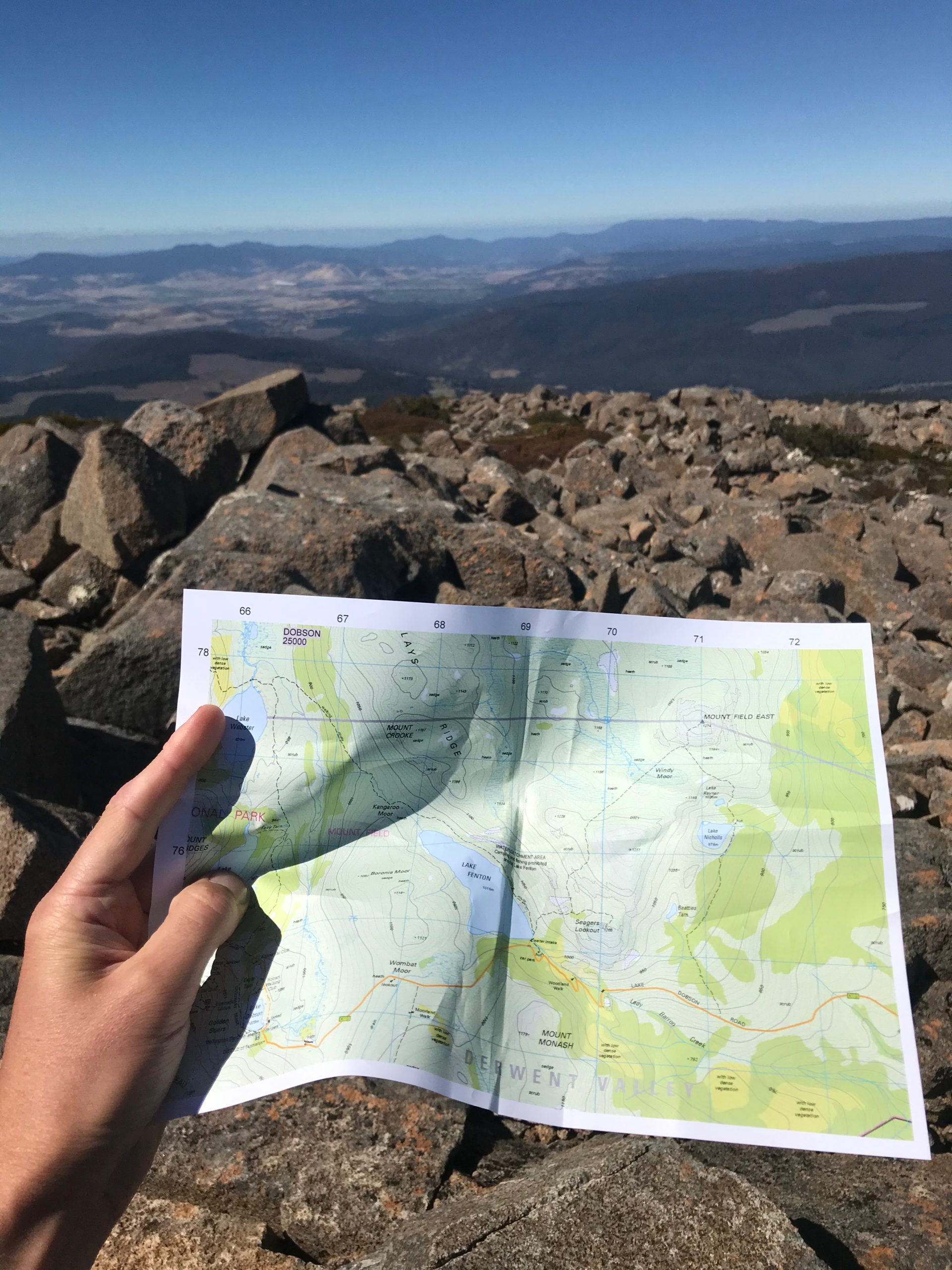
My A4 printed map with GPS grid references to get northing and eastings!
The Nevertear material is wonderful, and - as I found out after a bit of an experiment - waterproof!

Waterproof map! Fished out again before it floated away.
So now, all I have to do is make a few maps before I go and get them printed. Not only is it cost efficient ($2 for the map and about $1.50 per page for A4 colour printing and about $3 per page for A3), it’s easy and fun to make your own maps too!
I’ve been playing around a lot with QGIS (QGIS is a free and open-source cross-platform desktop geographic information system application that supports viewing, editing, and analysis of geospatial data - Wikipedia) and it’s bloody brilliant.
It’s actually how I process and obtain screenshots of my walk route you can see at the end of each post.
Anyway, the new map system is a huge success and I’m keen to try it out on a walk where maps are slightly more needed - but always good to practice.
So back to the walk, it was a lovely walk back from the hut at Lake Nicholls and before long I was wandering back up the hill towards the car to close the loop.
All up, it took a little over three hours. A nice walk on a fantastic day.
Walk map:
Comments
Cam:
April 30 2025
Absolutely brilliant but of information there mate, and looking forward to this very walk - which was how I found your blog. Now to jump down the rabbit hole and investigate your travels and travel advice further.