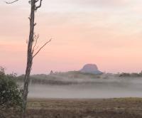
To be honest, I hadn’t ever really put much thought into the existence of this entire mountain.
I don’t even remember typing it in to my mapping software when collating a bunch of mountains I’d like to eventually one day visit.
When I looked my map up, it’s there and marked correctly - so I must have done it. I just have zero recollection of doing so.
So why did I climb Parson and Clerk when there are still much more famous places like Pelion West or Nereus or Murchison to visit?
Well, Parson and Clerk got swept up in what I’ve called the “Central Plateau Series” - a bunch of walks and mountains I’d do in a bit of a batch job over four days in late February 2023.
Lots from the Central Plateau!
Find all the walks from that series here
When working out what are where I’d go, I noticed ol’ Parson and Clerk sitting there next to Millers Bluff1.
“Hmmm,” I thought. “What’s that one?”
So it was Tuesday morning on the 21st when we were driving down Lake River Road2
We pulled up to the boom gate around 9:30am, and parked well to the side.
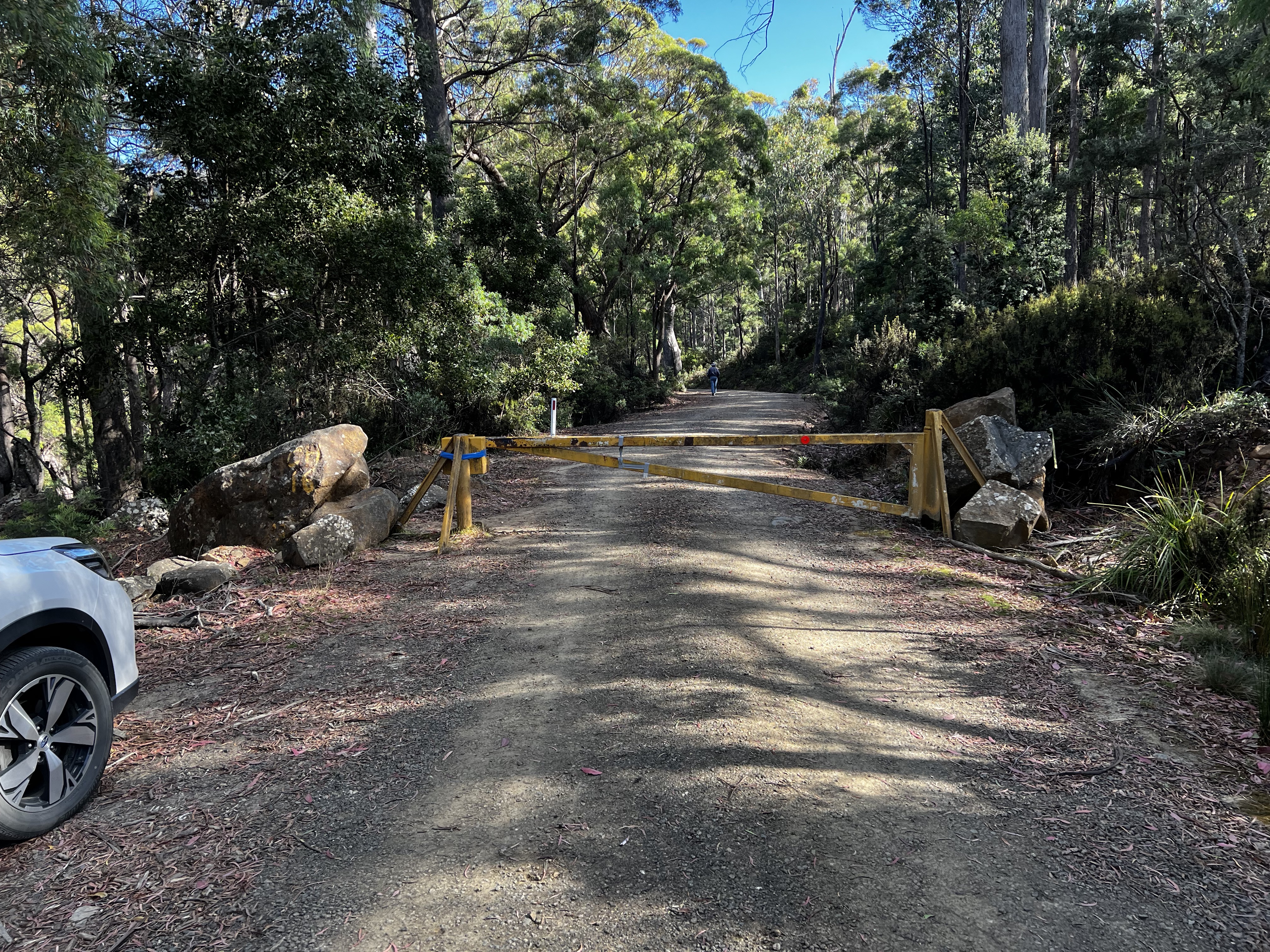
The walk starts along the road for about 20 minutes or so, until you come to an old forestry coupe with a road leading straight up the hill.
Compared to the scrub that surrounded it, it was by far the best option.
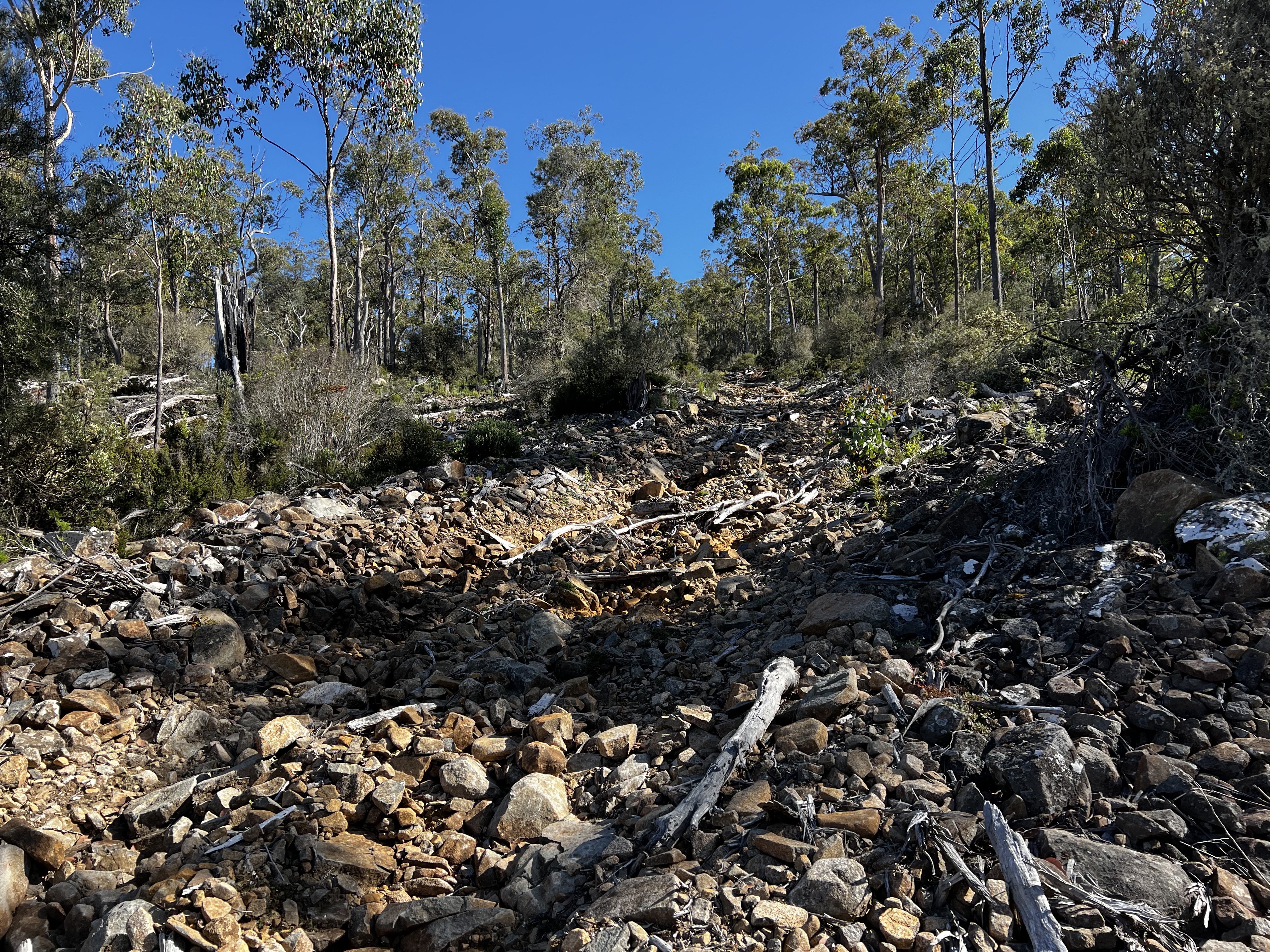
I worked my way up the hill and noted the significant erosion the road has running down the middle of it. It’s a 1.5 metre channel, carved deep into the road right down to rock.
A little bit higher, the road becomes rocky. It was still easy going and I was still keen to stay with it as long as I could.
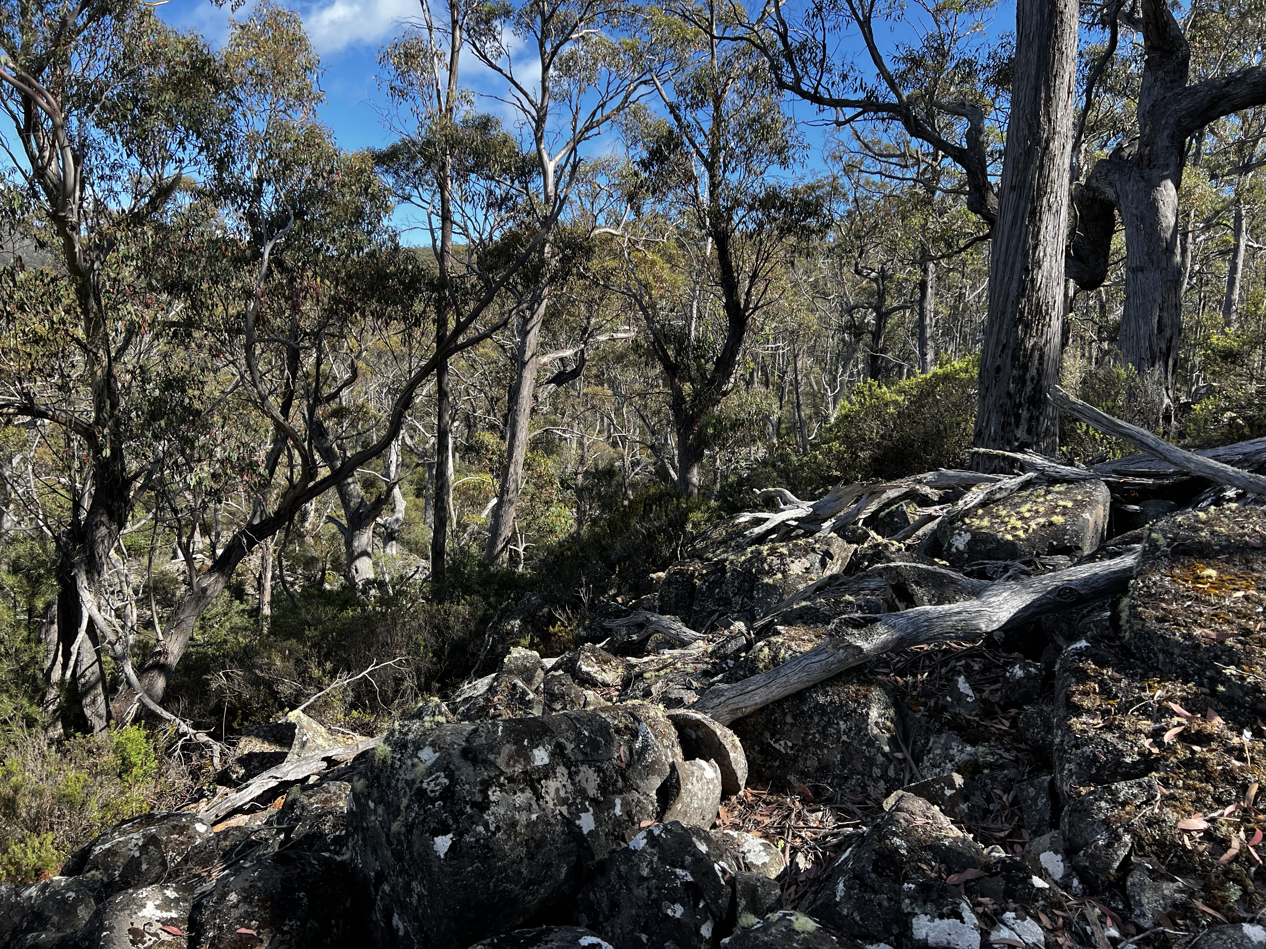
Eventually though, my luck ran out and I had to start going through the bush.
It wasn’t too bad - though in a few places got quite heavy - but it was quickly over with.
Either most of the walk is like this, or I picked a good line, but finding large screen fields really helped avoid the scrub and keep me contouring around the hill.
Between the first hill, is a saddle like area. I found this part pretty easy going. The scrub was low and it was lovely, easy walking.
Then it was into the forest again, and slowly picking my way up and up - hoping for a glimpse of the peak.
The view of the peak came only in the final 20 minutes, after popping out onto another large scree field and getting out from under the canopy.
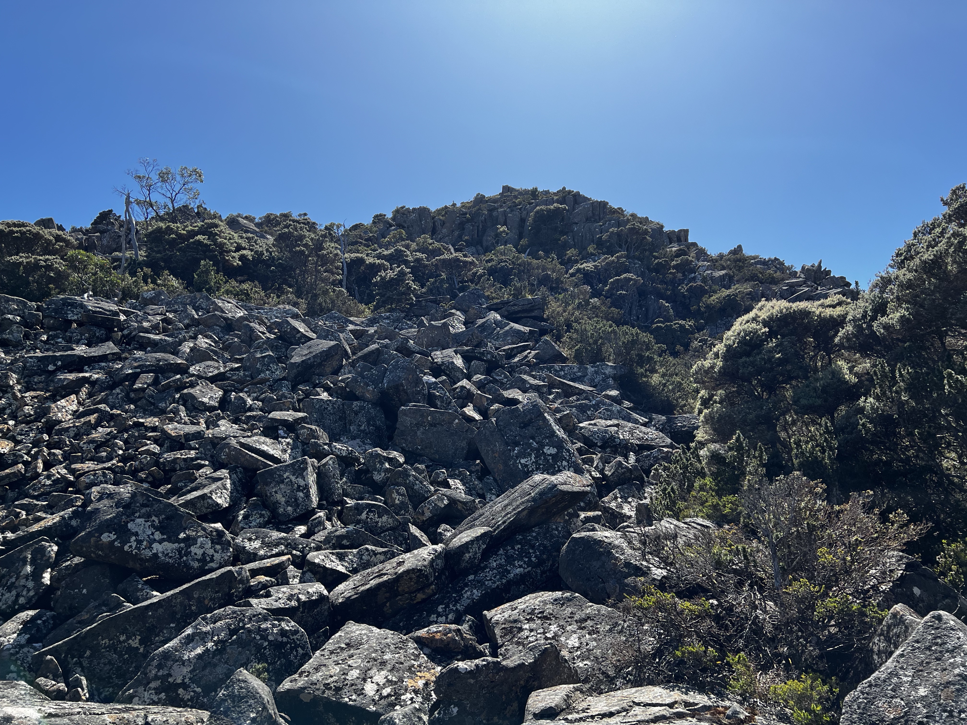
After a bit more of a climb I made it.
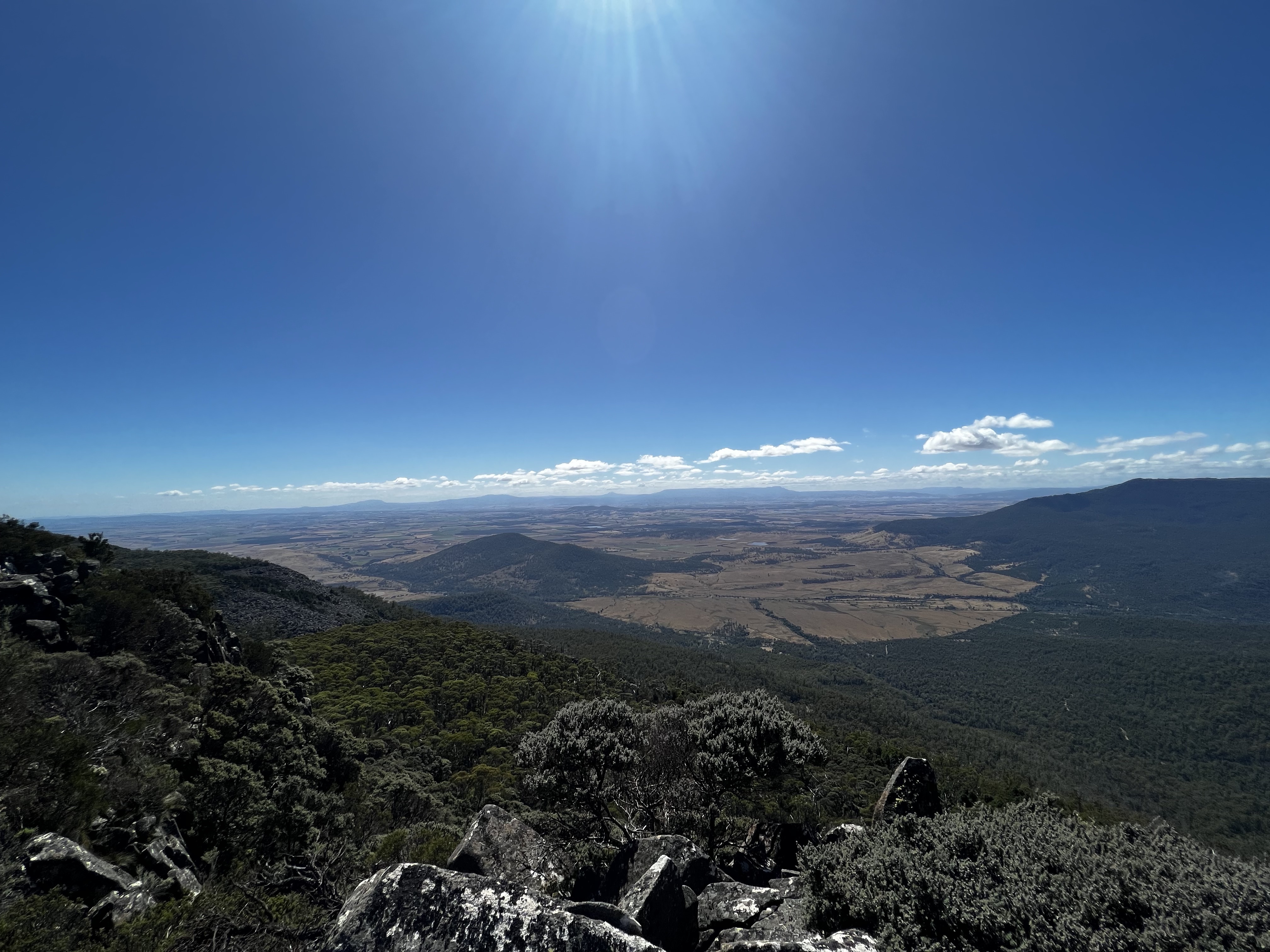
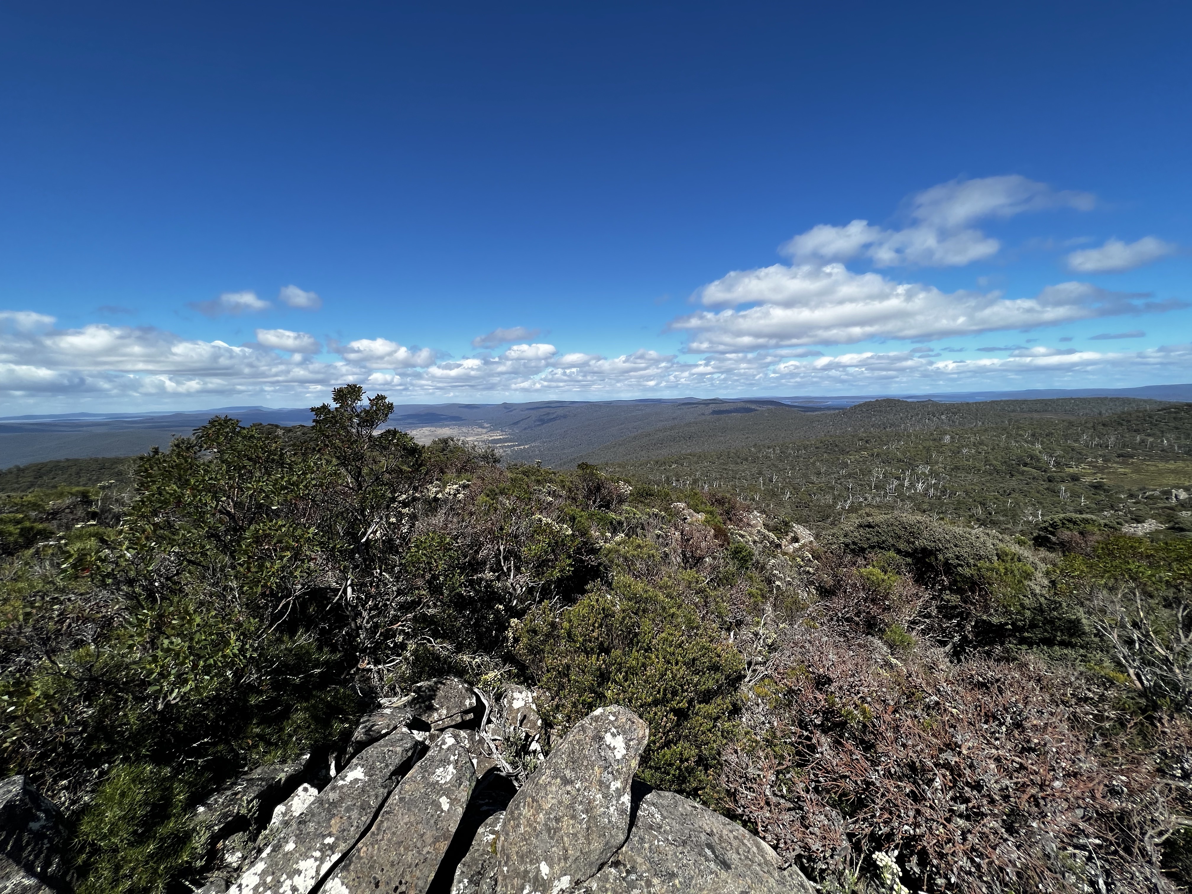
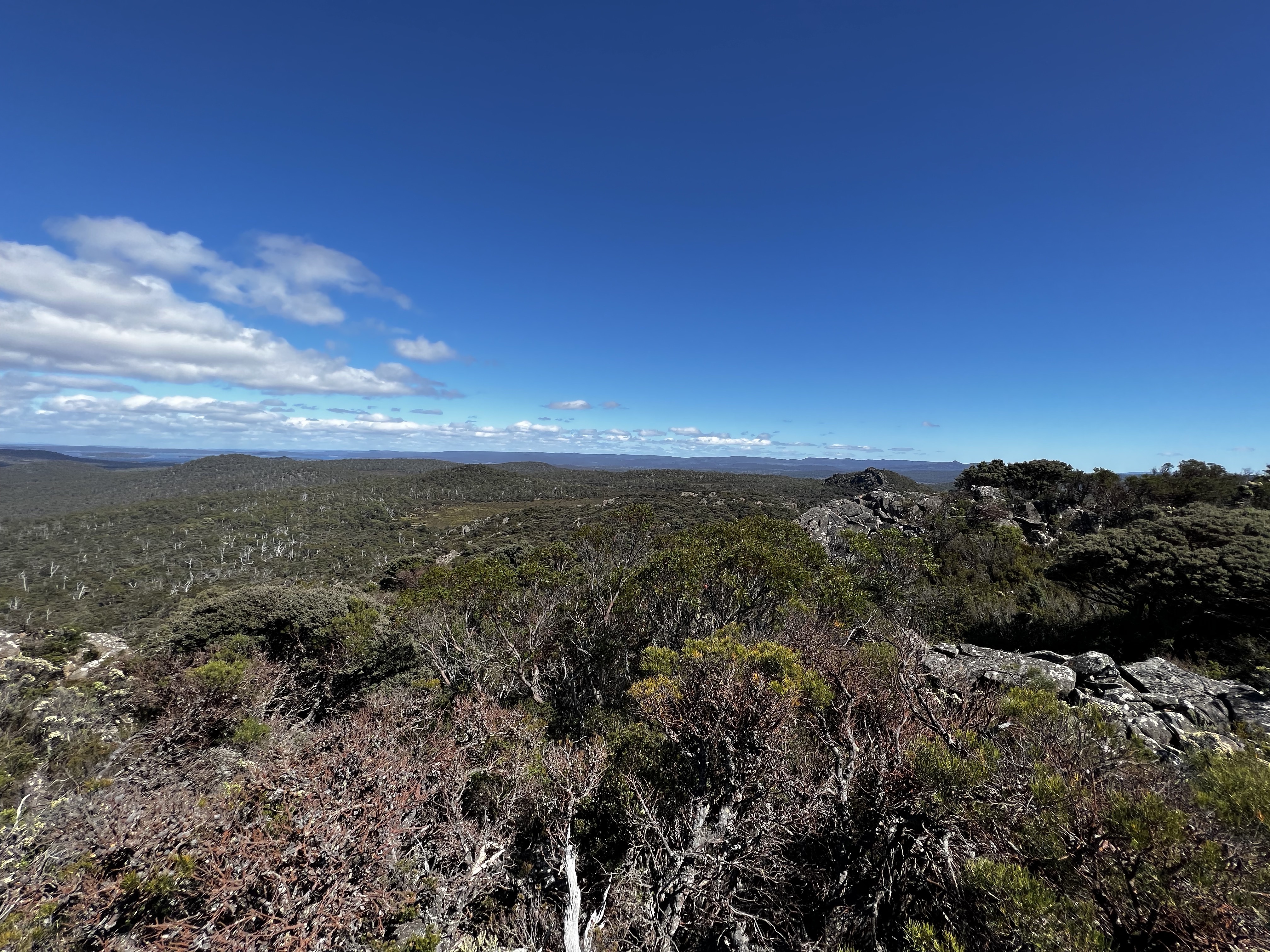
It was slightly windy up top, but otherwise clear!
So get ready for some summit pics.
After about 25 minutes, it was time to head back.
I made pretty good time, mostly.
I did take a slightly different route on the return leg - I stayed a bit higher. It meant I walked past where I originally came up, but there was more scree/rocks to walk on.
Apart from one terrible scrub patch, I’d say my return trip was slightly less scrubby. Though walk times were similar looking at my GPS log, so who knows!?
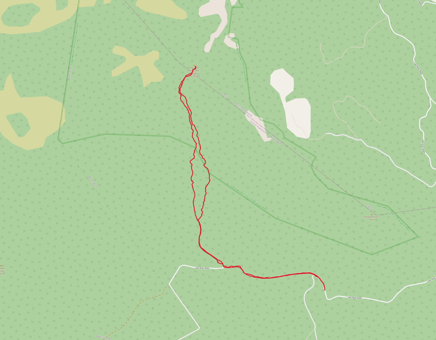
Trip map3
Walking times:
- Car park to peak: 2 hours, 6 minutes
- Peak to car park: 2 hours, 8 minutes
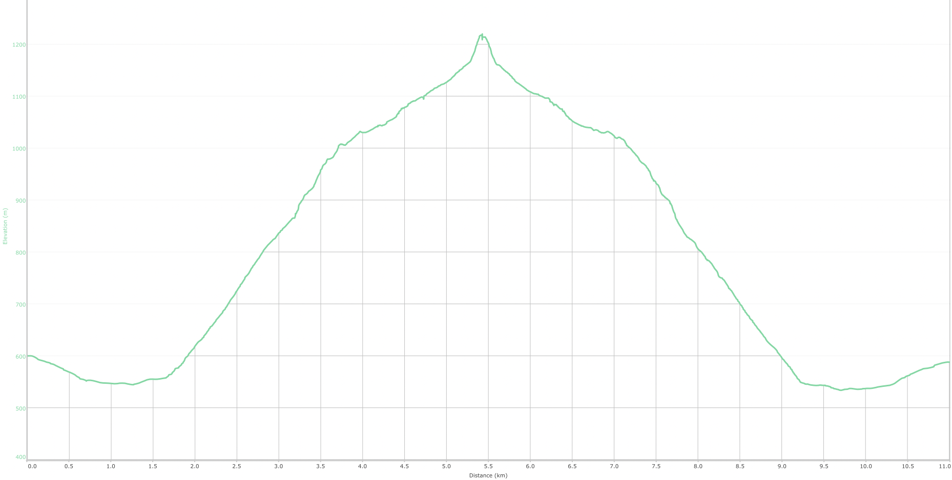
Elevation
Comments
Footnotes
You might be wondering why I didn’t climb Millers Bluff in this series… well…. I forgot to get permission until it was way too late, so I didn’t attempt it. ↩︎
Lake River seems to be the laziest naming of a river that I can think of. Were all the other names taken? Was the naming meeting “well, I guess this river comes out of that lake”. And someone was like “done. Lake River it is.” ↩︎