If you like walking almost continuously up a giant hill - mostly through forest, but also through a bit of mud - then this is for you.
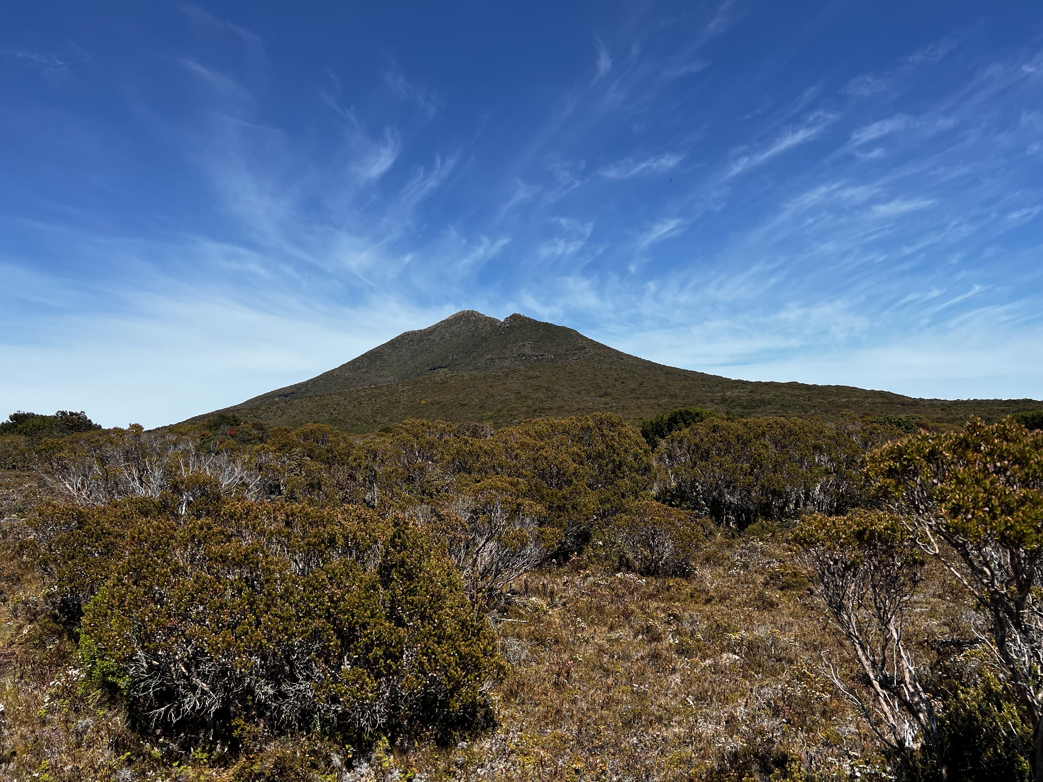
Adamsons Peak looms over Dover and looks a lot like a massive volcano with its sloping hills right to the peak.
I forgot to get a photo of it from a long way away, so you’ll just have to imagine. Actually I’ll do a diagram.
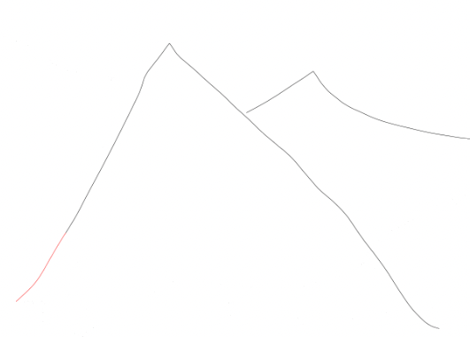
Spectacular, I know.
Anyway, getting to Adamsons Peak isn’t hard and despite some old reports I saw about road quality - as of December 2022 the road is no worries at all.
In fact, it’s so good you can even put “Adamsons Peak walk” into Google and it’ll take you there - as of December 2022. I’ve had troubles with Google before, but this time it worked.
If you don’t trust Google, and frankly that’s a good idea, here’s the way I got there along the various logging roads with their many spurs and turnoffs.
Anyway, that’s a long way of saying it’s not too hard to get there and the road is good.
When you’re there, the walk starts along a nice boardwalk up slowly starts increasing in elevation.
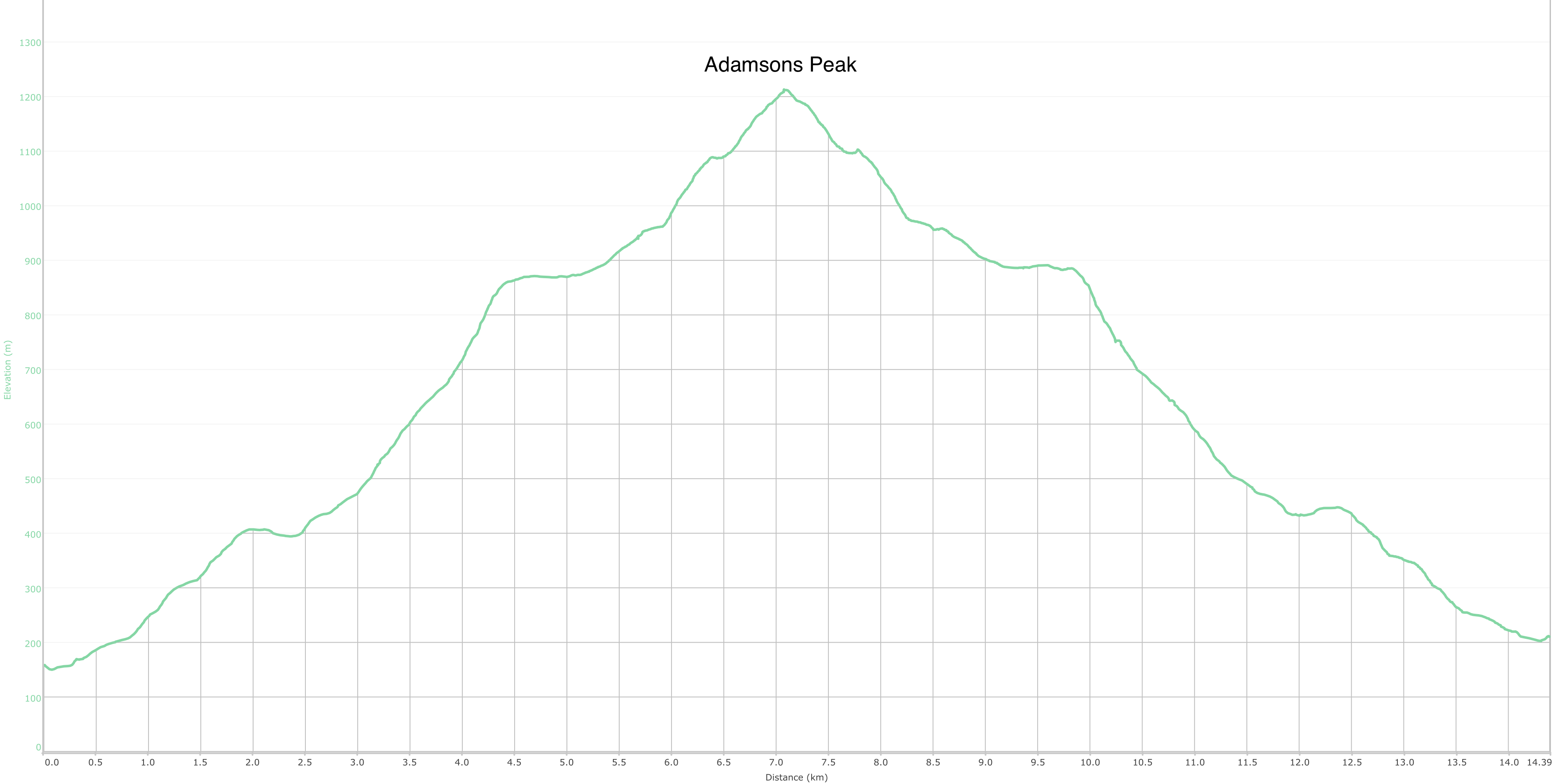
The elevation increase basically keeps going… right until you get to the top.
I mean, compare the elevation map and my amazing diagram above - they’re almost identical. I challenge you to try and tell the difference.
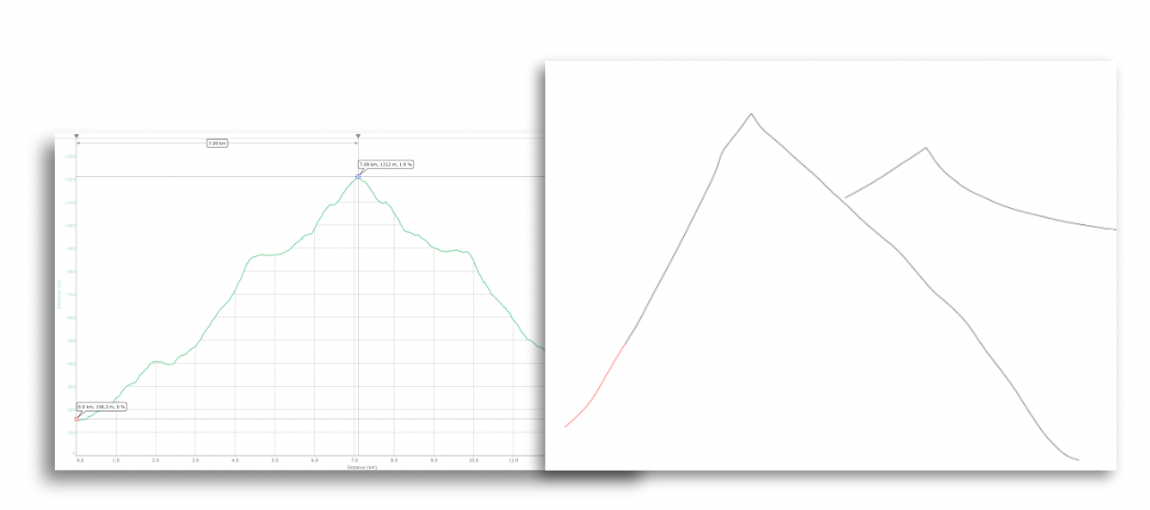
There’s about 1060 meters of elevation gain from the start of the walk to the peak. It’s a lot of uphill walking.
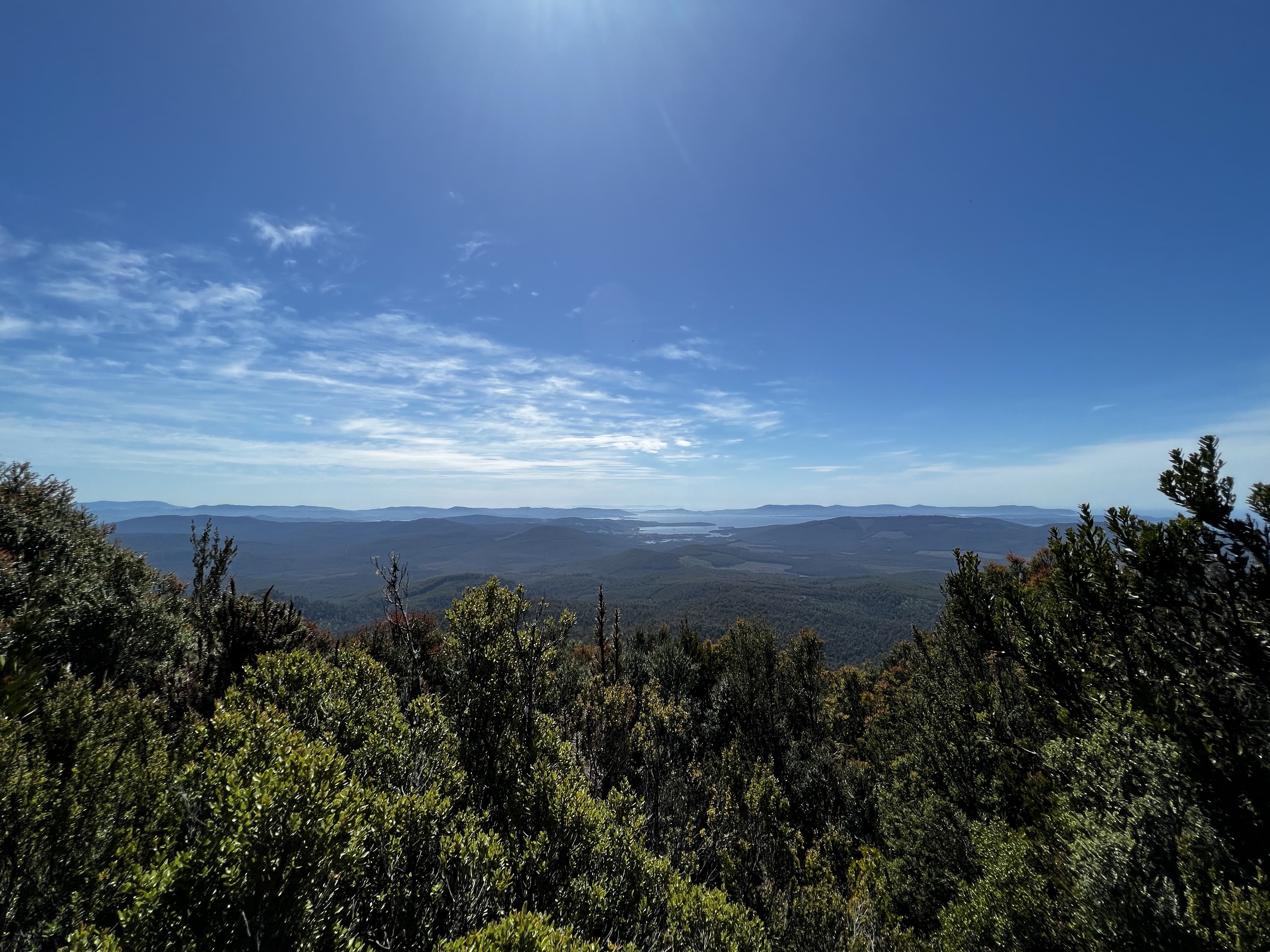
But it’s a pleasant and easy to navigate walk through the forest. After about 1:35 of walking, I finally popped out and was given a lovely view
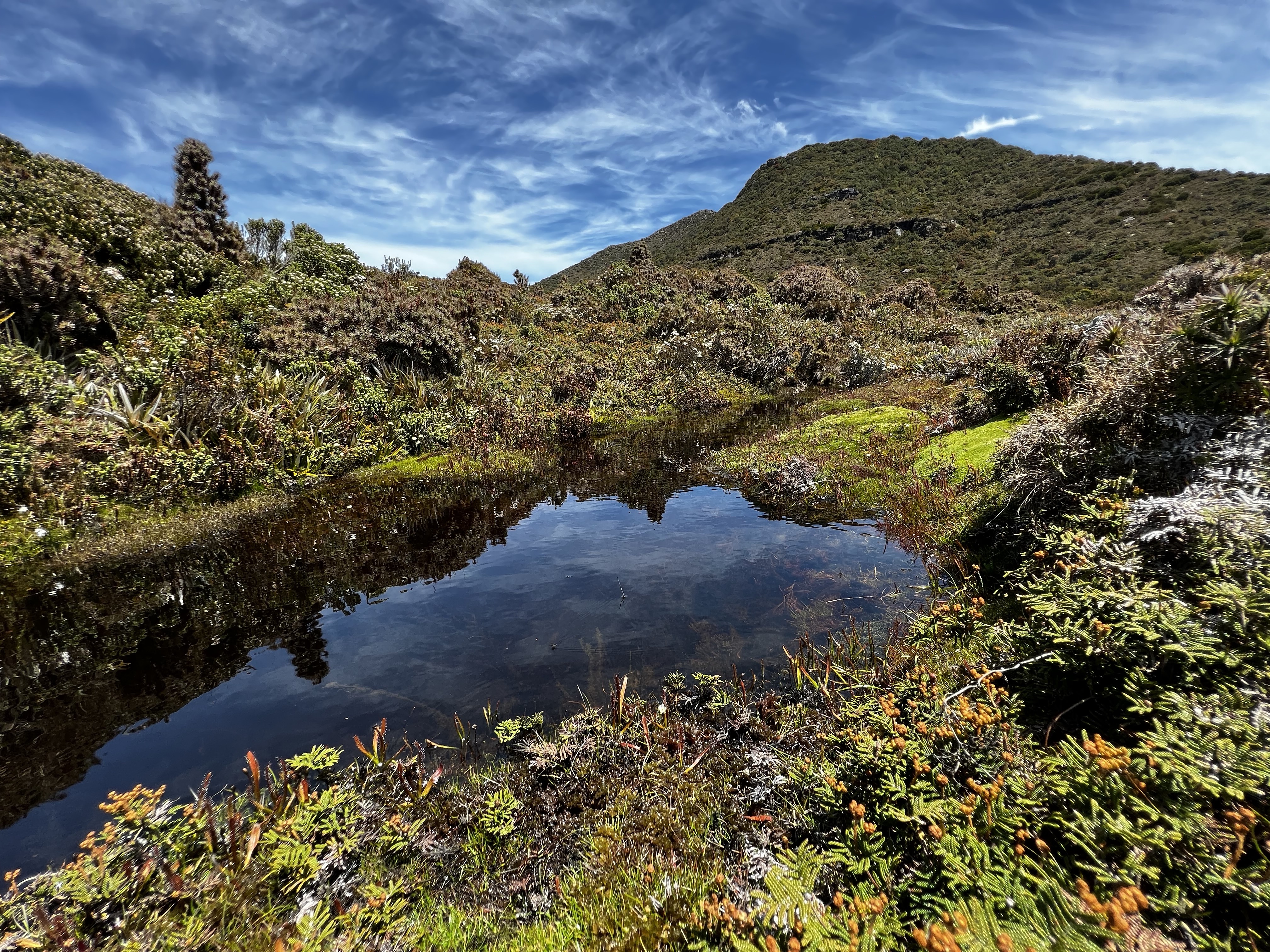
From there, it gets slightly harder to navigate as your weave your way over a plateau of sorts. It’s a bit muddy in places, but not that bad.
I got lose a couple of times. The track is pretty obvious, but I found I wandered off it from time to time. It was a simple matter of just backtracking and trying again.
It’s not long before the final bit seems obvious, but it’s not quite as simple as it looks from here.
You have to weave across the scrubby(ish) face (the track is obvious) before climbing steeply to the final bit. `` The final part is well cairned, but requires a bit of rock hopping and boulder jumping. Again though, not hard.
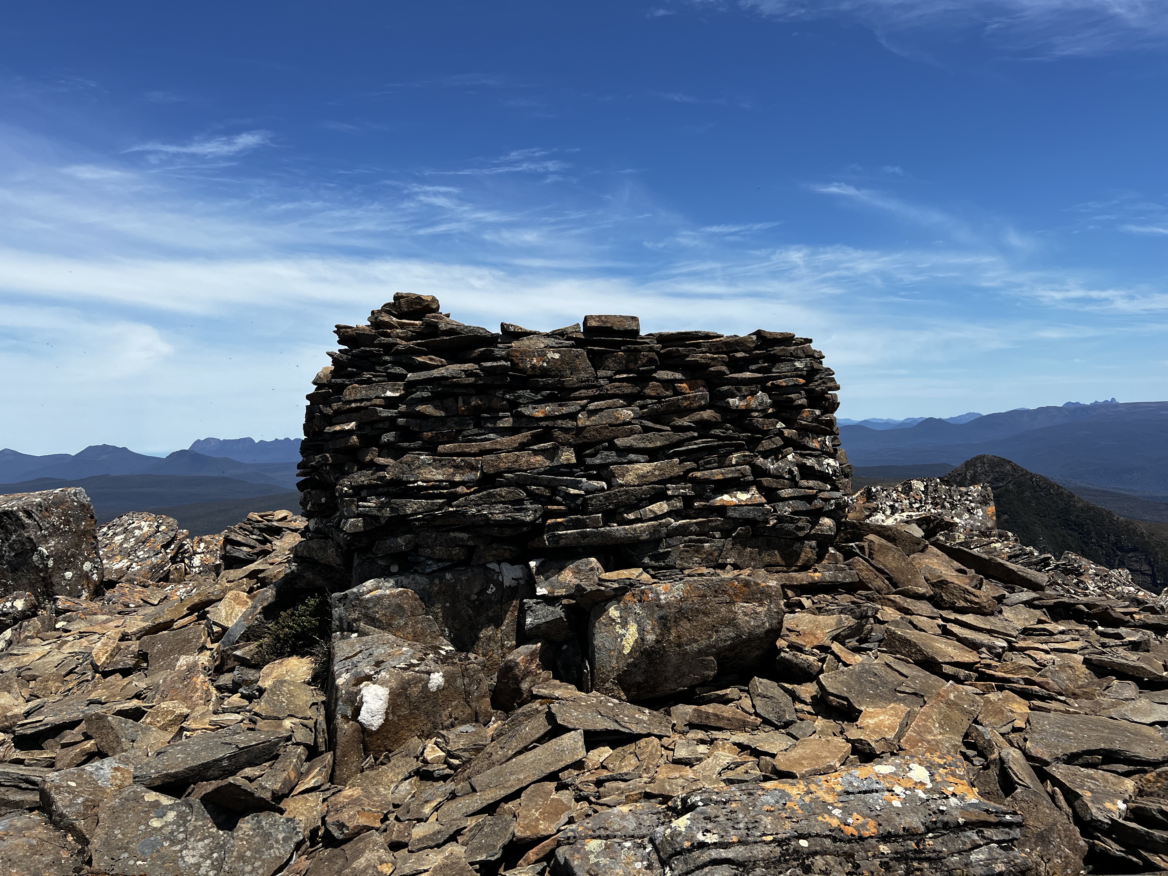
After making the top, I sat around and had a light lunch. Amazing views all around. I could see down to the South Coast, over to Federation Peak, a lovely view of Hartz mountains and off in the distance the mighty Precipitous Bluff. An old friend.
Actually, it has great views of the whole Southern Ranges.
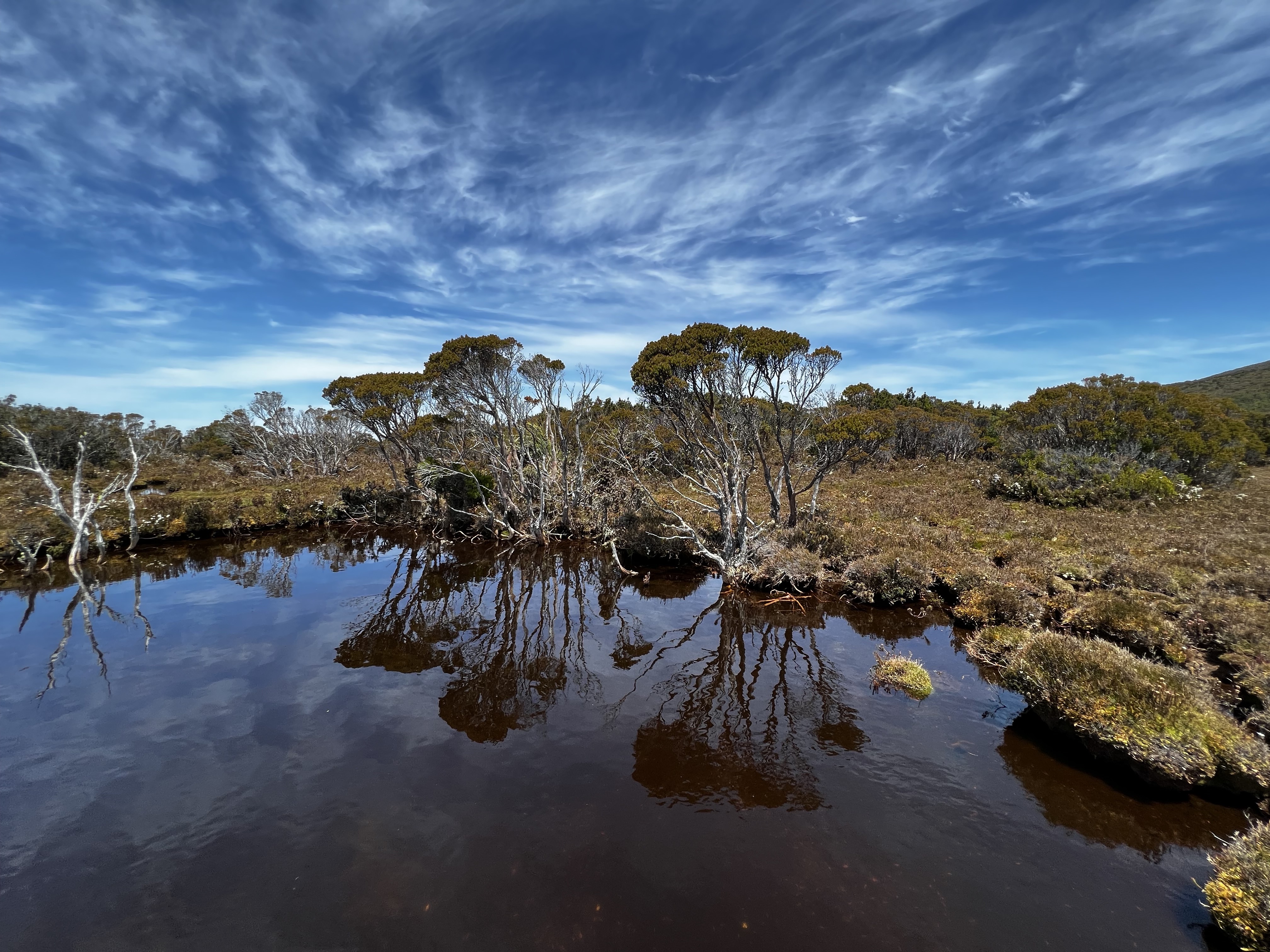
With lunch done, I started the walk back down - but needed to find some water as it was a very hot day. It was easy to find.
I had read that there was an old hut or house of sorts somewhere up on the plateau and I somehow missed it on my way up.
But on the way back down, I managed to stumble upon it.
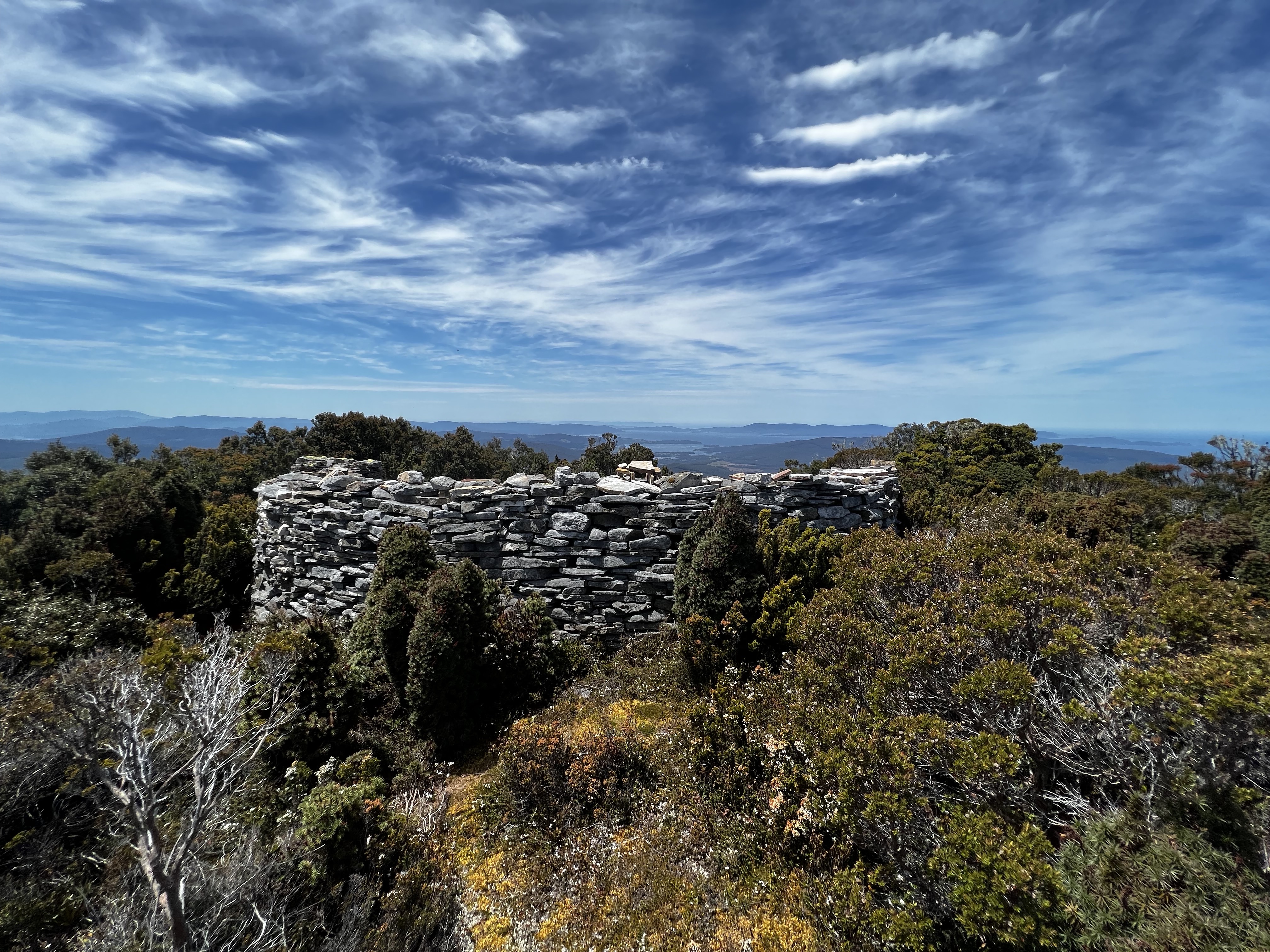
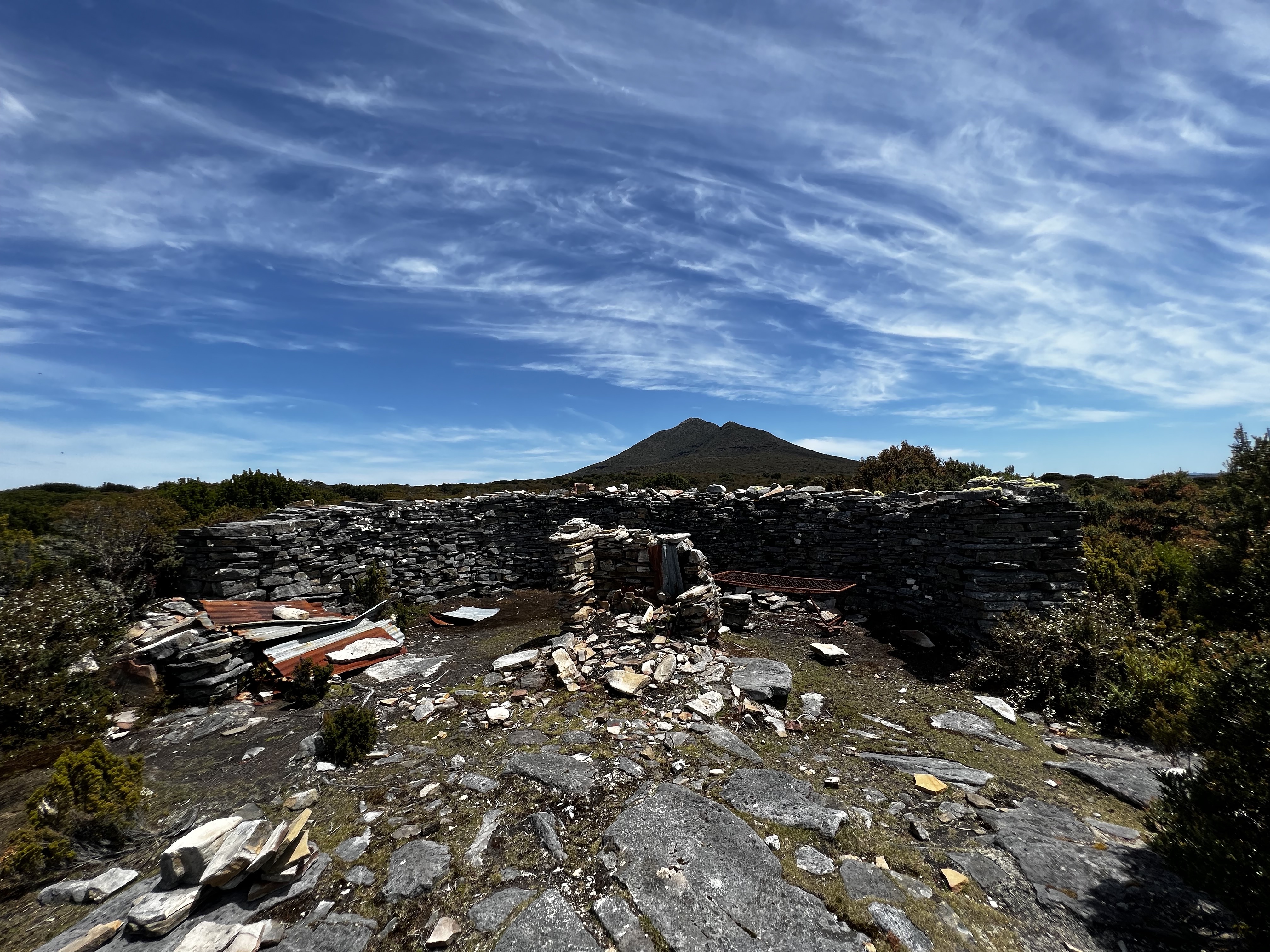
After a quick look, I found the track and started the long walk back down the hill to the car.
EDIT: 11th Feb 2023
I recently came across this thread on bushwalk.com which has a little bit more information about the hut, and some old photos from the 1980s. Very interesting - check it out.
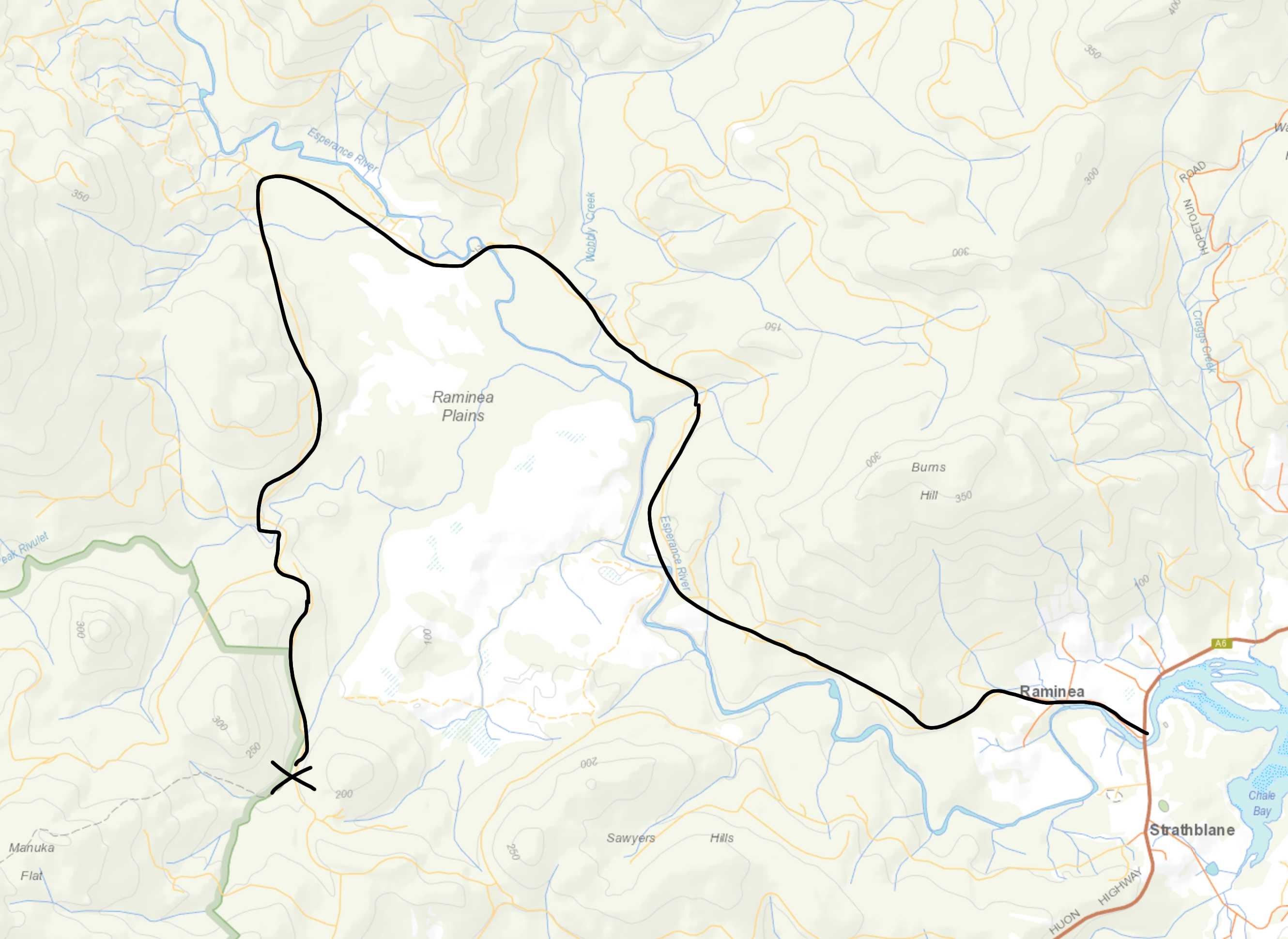
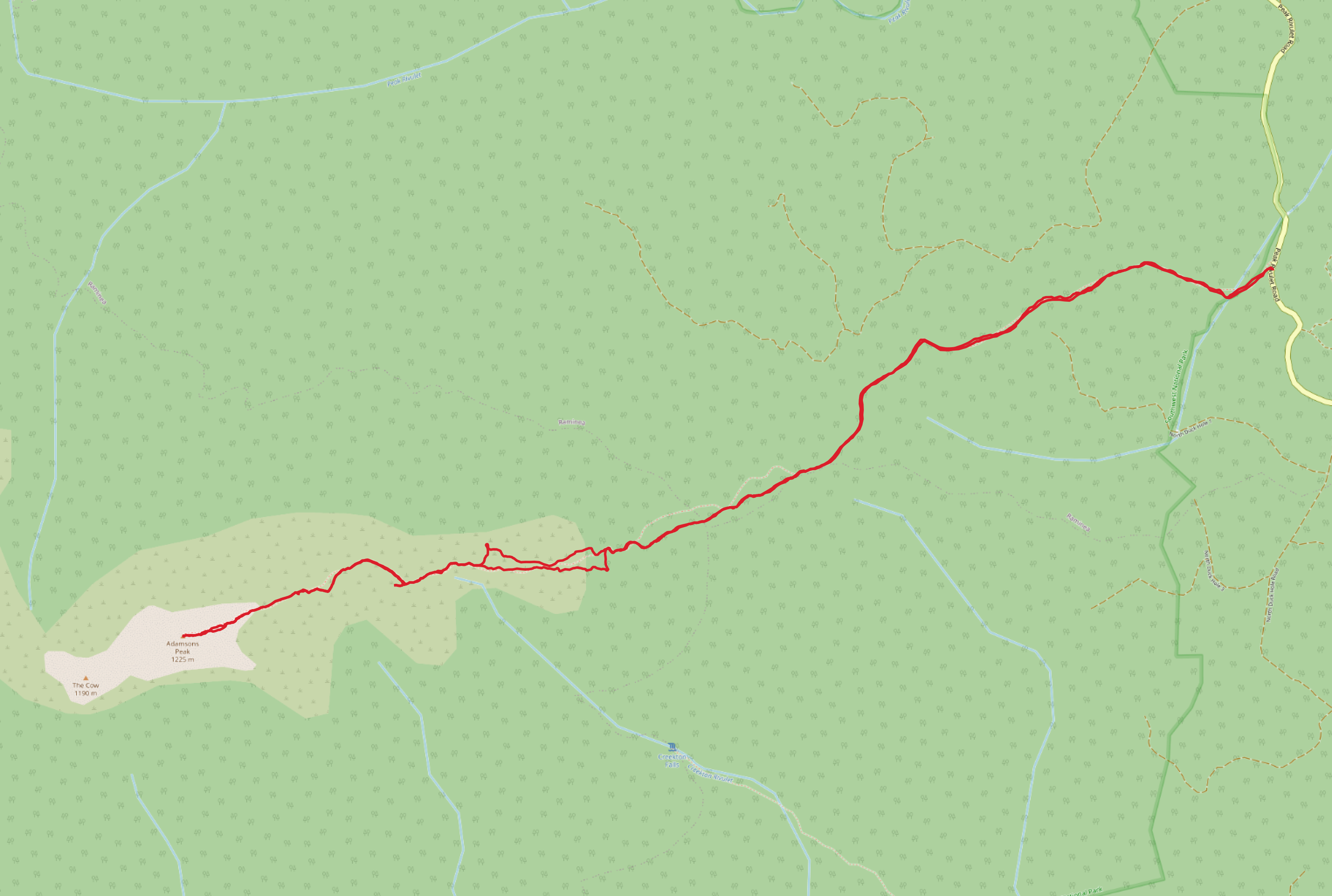
Trip map1
Walk dates: 27 December 2022
Weather: Rather hot, but still
Trip time: 5 hours, 16 minutes walking total (not including lunch at the top). 2:49 to the top. 2:27 back down.
Total ascent: 1196 meters
Elevation map
Further reading
- Adamsons Peak - Hiking South East Tasmania
- Adamsons Peak 2015 Dec - Nature Lovers Walks
- Hartz, Snowy, Esperance, The Calf, Adamsons: 26-28 May 2013 - Rock Monkey
- Adamsons Peak - July 2019 - Mowser