I’ve had a string of perfect walking weather lately, so it’s really only fair that I’d get an occassional bad day.
I had hoped the weather would clear for my walk up Mount Wedge, but I began to have some serious doubts as I passed Maydena and saw rain on the windscreen and dark clouds above.
I’d come this far, so I was going up it all the same. But we all prefer some views at the end. Alas, they weren’t to be today.
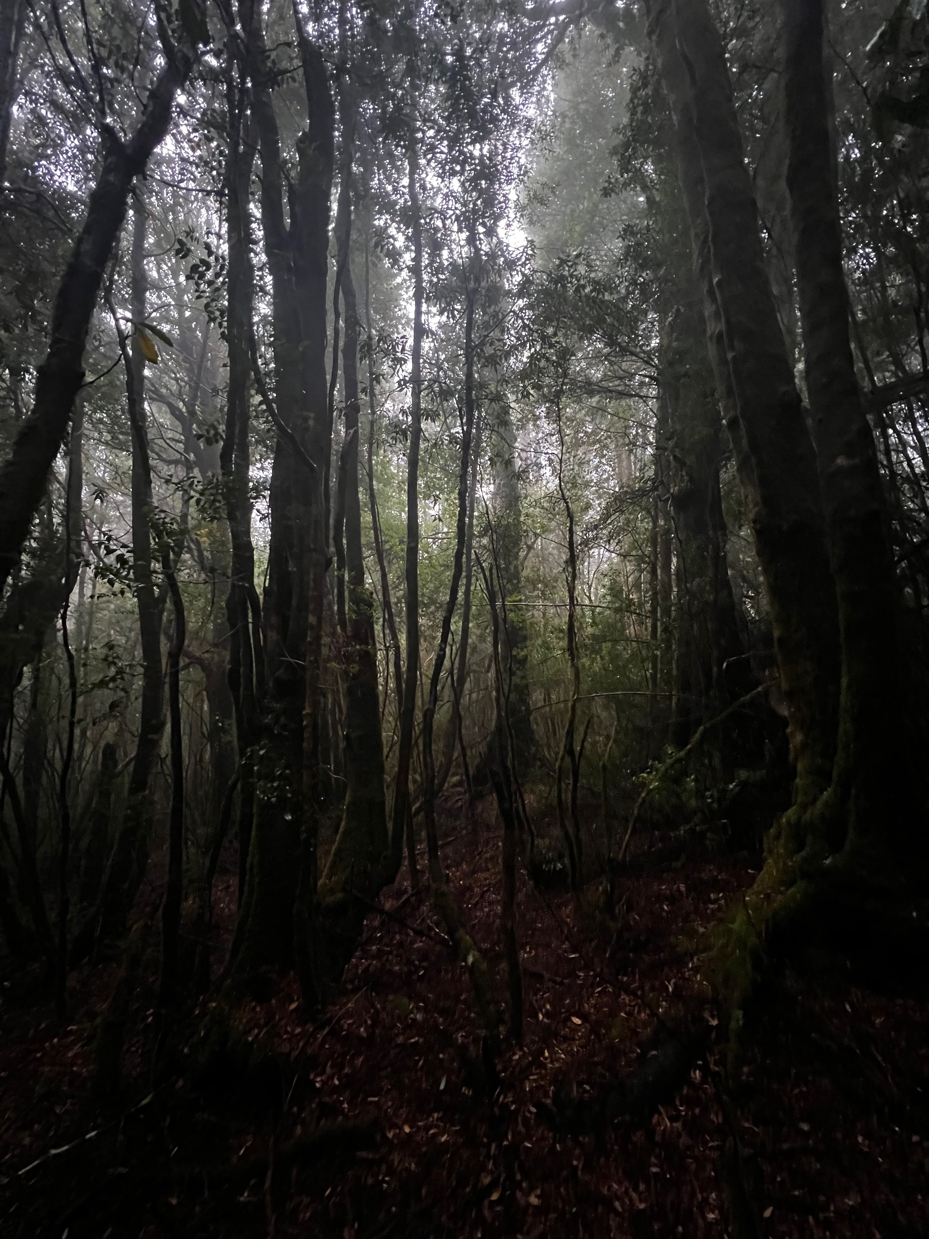
The walk starts through a nice little forest section before you get to an access road for the powerlines that come from Lake Gordon power station.
I got lost for a section here (because for some reason I missed a marker) and had a brief wander around on the road. For the record, turn left and walk down the road for a few hundred meters to find the start of the Mount Wedge track.
From there, it was a nice but solid walk up and up and up.
I covered the distance pretty quickly, but wasn’t in a rush.
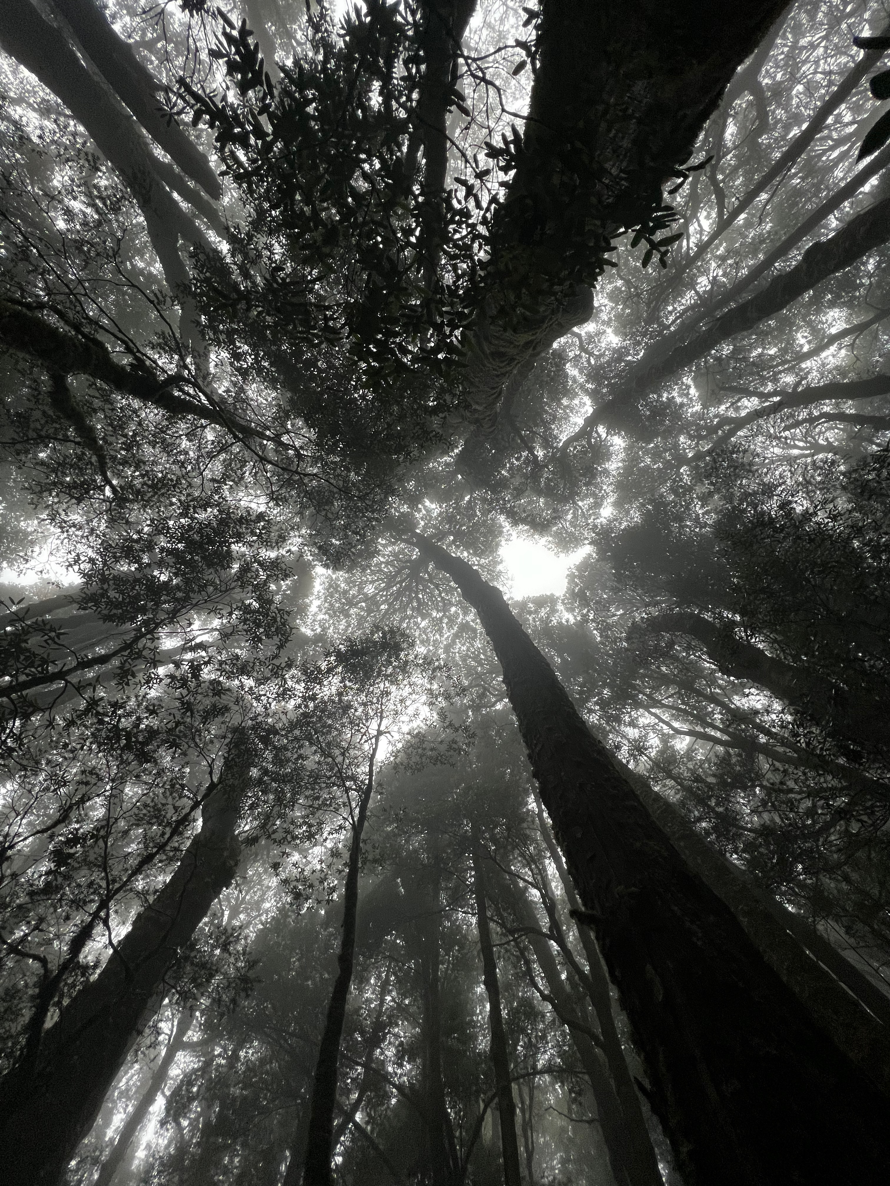
As I climbed through about 600-700 meters, the cloud started to seep through the trees. I knew it was highly unlikely I’d be getting a view from the top.
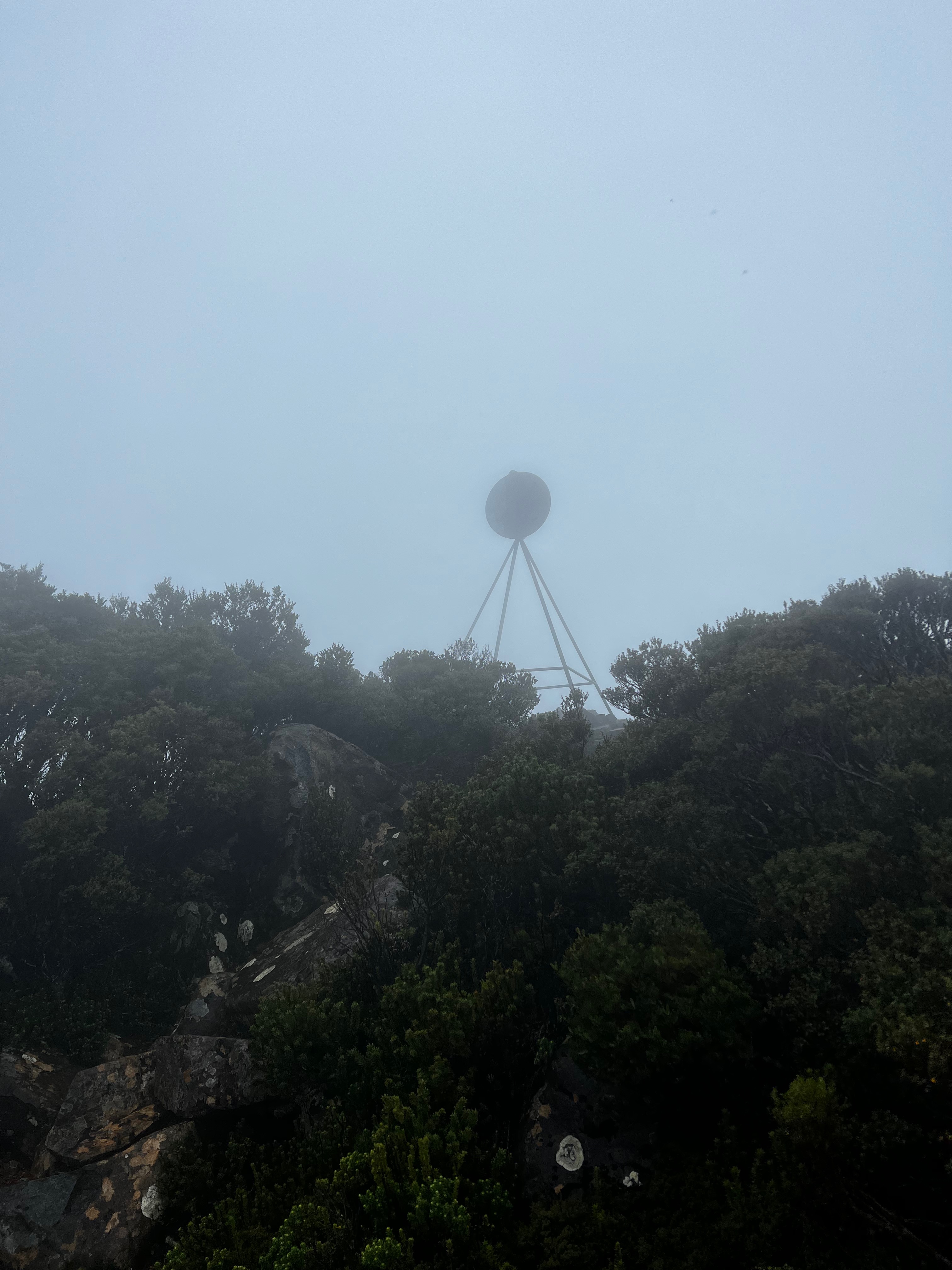
Not long after that, I popped out of the forest and into the alpine area of the walk. It was much windier without the shelter from the trees, and there was zero visibility.
Eventually I saw the helipad and not long after that the trig station slowly appeared.
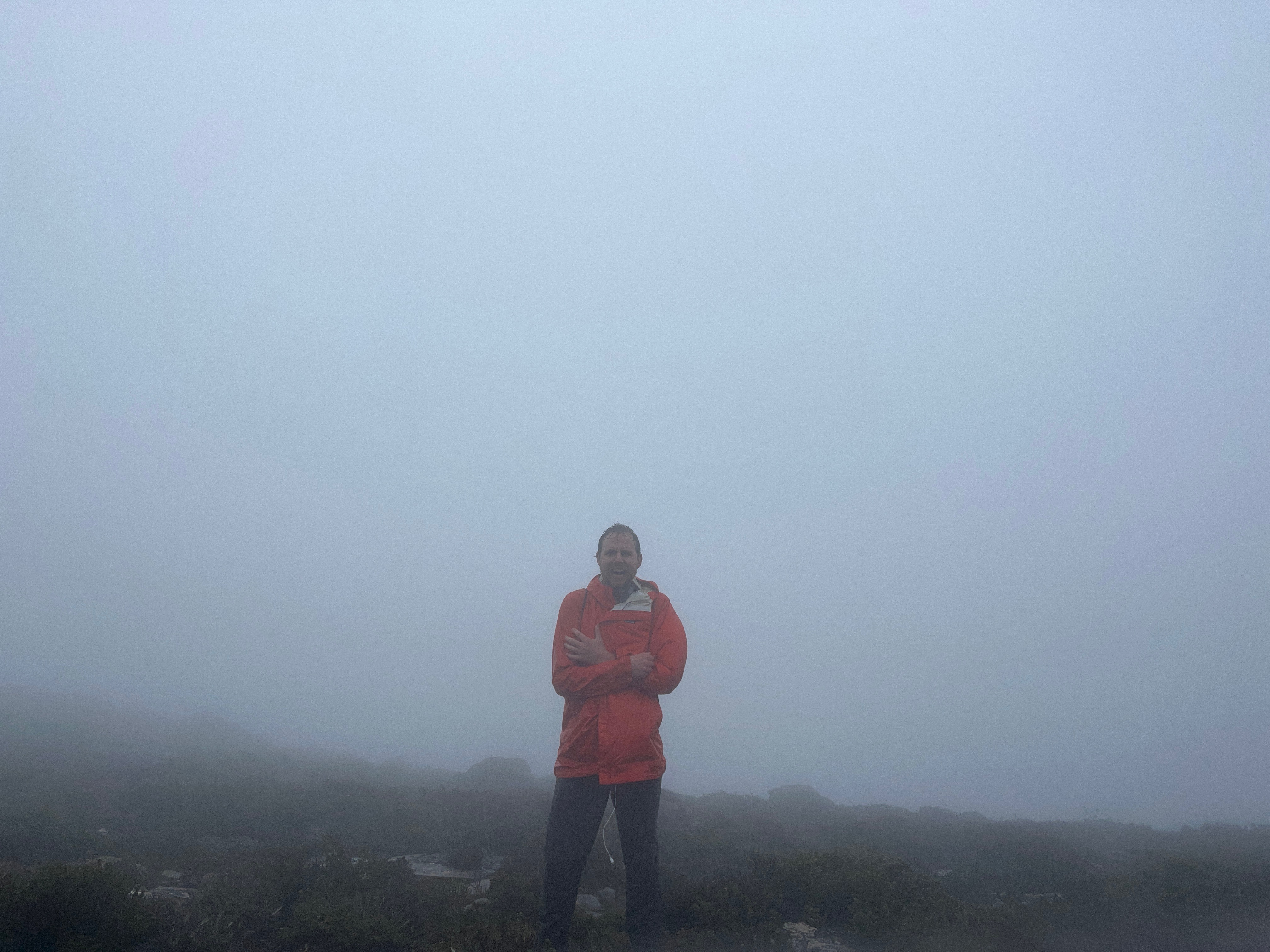
I scrambled up the final bit, took a look around and saw a white out. :(
It’s interesting when you get back to see photos from better weather days. A shame to miss the view, but you can’t get them all the time.
After that, I followed the same track back down. I was wet, but it was a pleasant walk. Good to get out again!
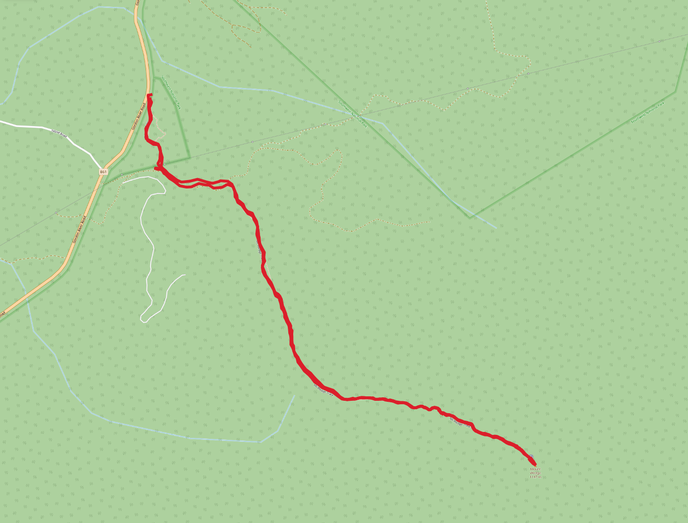
Trip map1
Walk dates: 16 April 2022
Walking time: 2 hours, 45 minutes. 919 meters ascent.